The record book
Weather History
Explore an interactive map of U.S. tornado tracks, damage points, damage surveys, and severe weather warning history. Filter by date range, toggle data layers, and browse history outlook images.
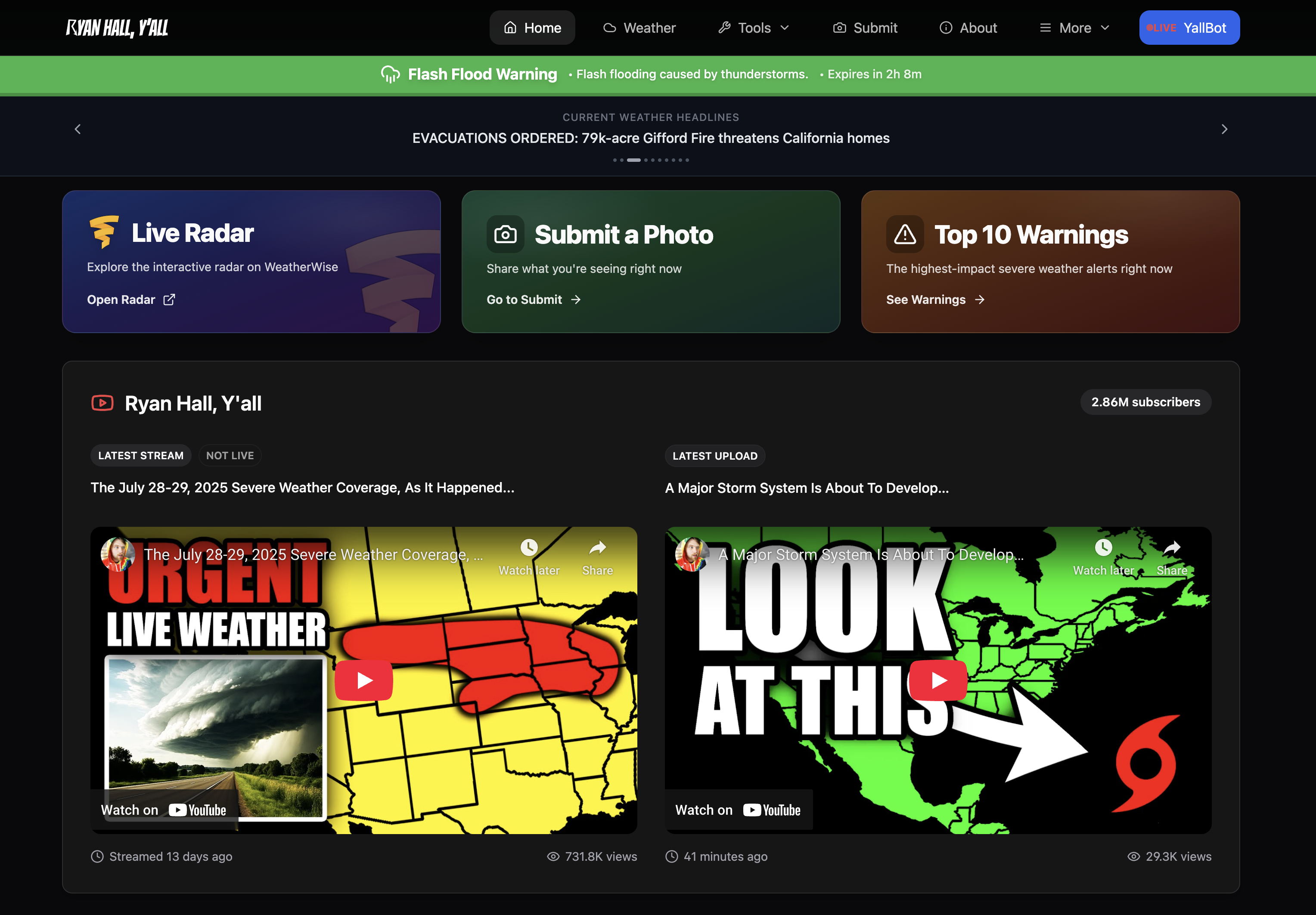
Explore past tornado tracks, damage surveys, and warning records on an interactive map.
History Outlook Images
About This Data
Tornado tracks, damage points, and damage surveys are sourced from the NOAA Damage Assessment Toolkit and cover the most recent five years. Warning polygons come from the Iowa Environmental Mesonet storm-based warning archive and cover the past year. Click any feature on the map for survey details. Data is refreshed by the RHY weather history pipeline.