Blog Article
Enhanced Severe Risk in Iowa Today, Outbreak Possible Monday
An Enhanced Risk of severe weather targets Iowa today with 75 mph winds and large hail. Plus, breaking down the potential severe weather outbreak on Monday.
75 MPH Winds Target Iowa Today, Plus a Look at Monday's Outbreak Threat
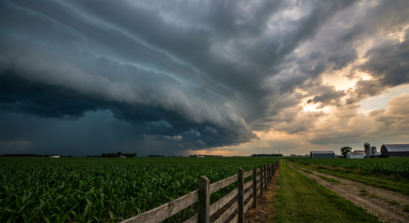
Y'all, the storm system we talked about yesterday is officially here. It crossed the Rockies, tapped into the Gulf moisture, and is ready to cause some headaches. The Storm Prediction Center has an Enhanced Risk, a level 3 out of 5, right over the heart of Iowa today.
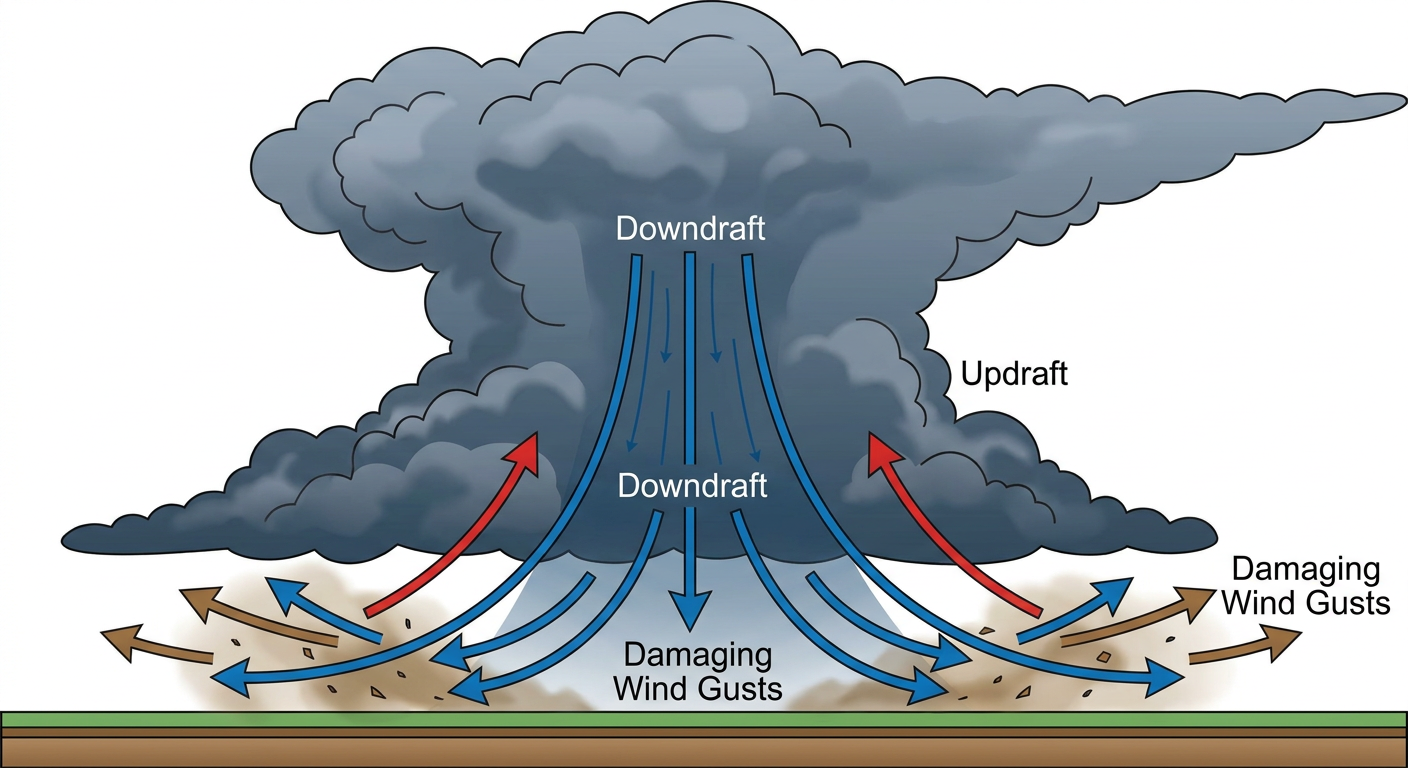
Today's Main Threat: Damaging Winds
The main show today is going to be wind. We have a 30 percent probability area for damaging winds covering Des Moines, Cedar Rapids, and Waterloo.
Inside that zone, there is a hatched area. That means we could see wind gusts hit 75 mph or higher. That is strong enough to knock down trees and cause power outages. We are also watching a hatched risk for hail up to two inches in diameter. That is hen-egg size, folks. If you are traveling along Interstate 80 today, keep a close eye on the radar.
The Weekend Reload
The severe threat does not take the weekend off. On Saturday, the focus shifts slightly west with a Slight Risk for parts of Nebraska and Kansas. By Sunday, the risk ramps back up to an Enhanced Risk for Nebraska and South Dakota.
If you have outdoor plans this weekend, maybe heading to the Royals game in St. Louis or the Brewers game up in Minneapolis, you will want to keep the weather app handy. Storms could easily disrupt those evening events.
Monday's Outbreak Potential
Here is the thing that really has my attention. The Storm Prediction Center is already highlighting a 30 percent risk area for Monday across the central Plains and Midwest. They are explicitly calling out the potential for a severe weather outbreak.
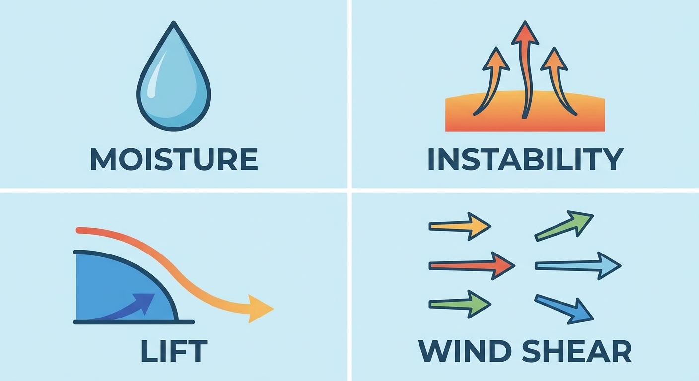
A strong low pressure system is going to eject out of the Rockies and take on a negative tilt. That is meteorology speak for a storm system that is leaning back on itself, pulling in massive amounts of wind shear and instability.
We will be breaking this down in detail over the weekend. But cities like Kansas City, Omaha, and Wichita need to start preparing now.
Fire and Ice
While the Plains deal with storms, the extremes continue elsewhere.
- Critical Fire Weather: Bone-dry air and 25 mph sustained winds are parked over the Texas Panhandle and eastern New Mexico today and tomorrow. Amarillo and Roswell are in the highest risk zones.
- Late Season Snow: A massive pattern shift is hitting the Great Basin. Salt Lake City normally sees highs in the 70s this time of year. A cold trough is dropping temperatures 15 to 20 degrees below normal, bringing late-season snow to the higher elevations of the Rockies in Utah and Wyoming.
Bottom Line
Have multiple ways to get warnings today, especially if you live in Iowa. A weather radio or a loud phone alert is crucial when those 75 mph wind gusts roll through. And if you live anywhere in the central US, use this quiet Friday morning to review your severe weather plan for Monday.
https://ryanhallyall.com/blog/75-mph-winds-target-iowa-today-plus-a-look-at-mondays-outbreak-threat