Blog Article
Central Plains Severe Weather & Southeast Spring Heat
While the Southeast enjoys perfect spring weather, a stalled front is bringing severe storms, large hail, and wind to the Central Plains this weekend.
A $1.50 Cheese Sandwich and the Great American Weather Divide
Get this, y'all. Half my feed today is talking about how a pimento cheese sandwich at the Masters is still a buck fifty. In this economy, that is practically a miracle. But if you are sitting down in the Southeast this week, the price of lunch is not the only thing working in your favor. The atmosphere is putting on an absolute clinic.
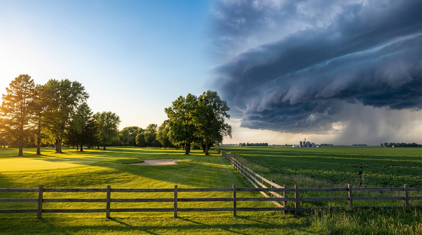
A sprawling ridge of high pressure is parked right over the Southeast. It is pumping in exceptionally dry continental air. We are seeing widespread temperatures in the 70s. That is right around normal for this time of year, but the lack of humidity makes it feel incredible. It is the kind of windows-open, patio-dining weather that makes you appreciate spring.
The Central Plains Boundary
Step outside that Southeast bubble, and the atmosphere gets a lot more agitated. We have a stationary front stretched from the Central Plains right into the Mid-Mississippi Valley. Warm, moist air from the Gulf of Mexico is surging north and running right into that boundary.
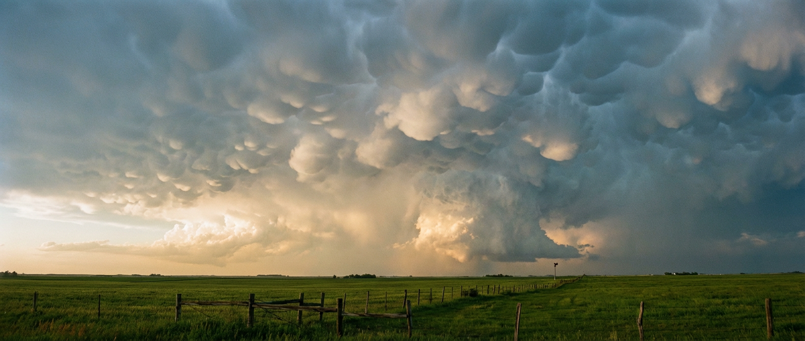
The Storm Prediction Center has a Slight Risk for severe storms up across central and northeast Kansas into southern Nebraska and northwest Missouri this evening.
- The Main Threats: Large hail and severe wind gusts are the primary concerns tonight.
- The Tornado Risk: An isolated tornado is possible, especially where storms first initiate along the front.
- The Timing: Storms are developing late this afternoon and will continue through the evening hours.
If you live near Topeka, Kansas City, or up toward Omaha, you need to pay attention tonight. The clouds hung around a bit longer than expected today. That slowed down the surface heating, but there is still plenty of buoyancy in the atmosphere to support supercells.
The Weekend Shift
As we head into Friday and Saturday, that storm energy moves around. Tomorrow, the severe threat slides into a narrow corridor from northeast New Mexico over toward the Ozarks. By Saturday, it sets up over West Texas.
I know a lot of folks are heading out to outdoor events this weekend. The Breakaway Music Festival is kicking off in Dallas, and the Basin Red Dirt BBQ is happening out in Midland. You will want to watch the radar closely. We are expecting scattered thunderstorms with strong gusts and hail across West Texas on Saturday. The moisture is creeping back in, and the dryline is going to get active.
A Quick Look at the Sun
The sun is acting up again today. We had a moderate M1.0 solar flare this morning. That is triggering a minor G1 geomagnetic storm. It is nothing that will ruin your weekend plans, but it might cause some minor fluctuations with satellite signals or power grids.
Spring always brings this kind of extreme contrast. You get flawless golf weather in one state and supercells in the next. Keep a reliable way to get warnings tonight if you live in the Plains, and enjoy the quiet air if you are lucky enough to have it.
https://ryanhallyall.com/blog/a-150-cheese-sandwich-and-the-great-american-weather-divide