Blog Article
Severe Storms Set to Test the Plains and Heartland Monday
A circus tent in Missouri, a festival in Arizona, and Monday's SPC Slight Risk across the Plains. Here's how the real weather data connects it all.
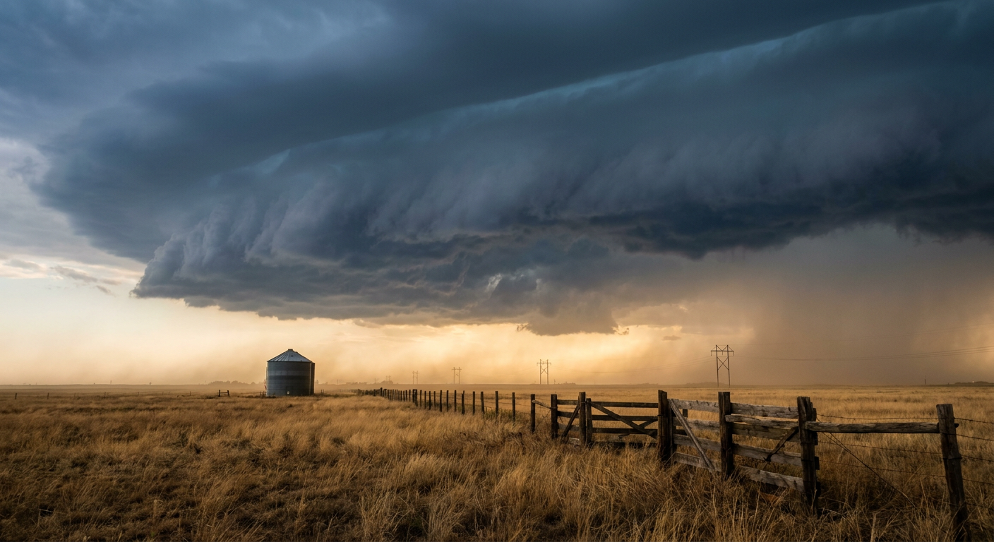
A Circus Tent, a Mariachi Festival, and the Storm Lining Up to Test Both
Sixty thousand runners crossed the finish line in Central Park today. Sweden's got a men's champion, Kenya's got the women's title, and somewhere out there a whole lot of knees are regretting every decision that led to mile 20. Good for them. Most of the country got a mild, cloudy fall evening to go with it, the kind where nobody's complaining but nobody's writing home about it either.
That's the easy weather story tonight. Here's the one that actually matters for tomorrow.
The Big Top Problem
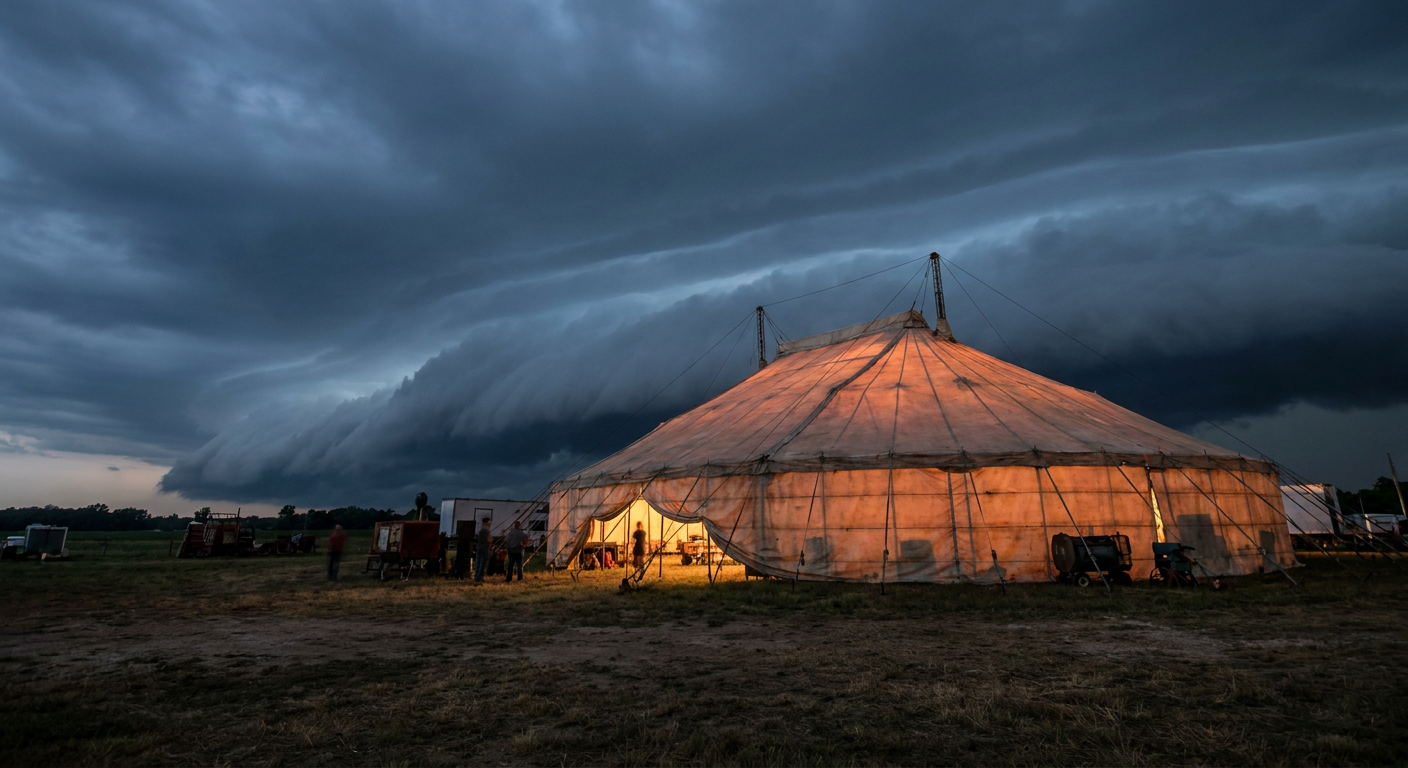
Out in Saint Peters, Missouri, Cirque Italia's Water Circus rolls into town with its big tent, and tents and severe weather have never gotten along. SPC's Day 2 outlook, valid Monday afternoon and evening, puts a Slight Risk of severe thunderstorms across a corridor running from north Texas through Oklahoma, into Kansas and up toward Kansas City. That's about 17 million people under that risk category, including Dallas-Fort Worth, Oklahoma City, and Tulsa. The broader Marginal Risk fans out from there, and it covers a chunk of Missouri too, which puts Saint Peters in the kind of zone SPC is already watching closely.
Here's what that actually means. A deepening low pressure system is going to organize along a dryline and advancing cold front Monday, with a strong subtropical jet overhead to add spin and lift. SPC's numbers show a 15 percent chance of damaging wind gusts over 60 mph across that Slight Risk zone, which is the kind of gust that turns a circus tent into a real problem if it's not staked down right. There's also a 5 percent chance of a tornado, with some signal for a stronger one, EF2 or better, near the Kansas-Oklahoma border if a mesolow gets its act together. None of that is a guarantee. It's a probability, and a modest one. But if you're running an outdoor event with fabric walls on Monday afternoon in that corridor, you're watching the radar same as the rest of us.
Arizona's Festival Picks Up Where Yesterday Left Off
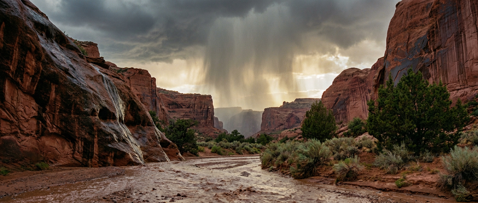
Meanwhile in Chandler, Arizona, the Mariachi and Folklorico Festival is running tonight, and it's doing so in a state that just got reminded what its monsoon-adjacent weather can do. Yesterday, convective rainfall of 0.75 to 2.25 inches across Maricopa County sent water rushing along Indian Bend Wash and had Phoenix Fire pulling six people out of four flooded vehicles near 40th Street and Stanford Drive. That's Scottsdale and Paradise Valley, basically next door to Chandler.
Today's SPC Day 1 outlook keeps Phoenix and Tucson under a Marginal Risk for severe thunderstorms, with isolated severe gusts and maybe a tornado possible through this evening. Up in the high country, the Mogollon Rim and San Juan Mountains are sitting under a Moderate Risk for excessive rainfall, the highest category WPC issues short of High, with model guidance showing over 70 percent odds of 2-plus inches of rain in spots. That's mountain country, not the festival grounds, but it's the same broader system feeding moisture into the whole region. If you're out enjoying the music and the folklorico dancing tonight, keep an eye on the sky. Arizona's soil is still soaked from October's run of flash flooding, and it doesn't take much to get things moving again.
A Little Context From the Calendar
Normal November highs in this part of the country sit in the 50s and 60s. Kansas City averages 53, Tulsa and Oklahoma City sit around 60 and 61, Dallas runs closer to 67. This storm system is going to drag a cold front through behind it, so whatever warmth builds ahead of Monday's storms won't stick around. That's actually part of the setup. It's the contrast between warm, moist air ahead of the front and cooler, drier air behind it that gives these storms their energy in the first place. It's a textbook late-fall severe weather recipe for the southern and central Plains, the same stretch of real estate that's already seen tornado reports this season, including the twister near Uvalde, Texas, back on October 29.
One More Thing in the Sky Tonight
If severe weather and flash floods weren't enough, NOAA's Space Weather Prediction Center has the geomagnetic field reaching G1, or Minor storm levels, tonight, driven by a coronal hole high-speed stream. That's a step down from last night's G2 (Moderate) storm, when the planetary K-index hit 6. If you're up in the northern tier and you caught a hint of aurora Saturday night, tonight's show will likely be more modest. Worth a glance out the window anyway if you're somewhere dark.
The Takeaway
Most of the country gets a quiet, cloudy Sunday night to close out the marathon weekend. But Monday's a different story for the Heartland. If you've got plans involving a tent, a festival, or anything outdoors from Dallas to Kansas City, check the forecast before you head out the door. The risk isn't extreme, it's a Slight Risk with modest probabilities, but modest probabilities still turn into real wind gusts and real flash floods for the people standing underneath them.
https://ryanhallyall.com/blog/a-circus-tent-a-mariachi-festival-and-the-storm-lining-up-to-test-both