Blog Article
Hurricane Polo Hits Cat 4 as Hawaii Watches New Threat
Hurricane Polo roars to Category 4 off Mexico while Tropical Depression Fifteen-E threatens Hawaii. Plus a Moderate flood risk in New Mexico and West Texas.
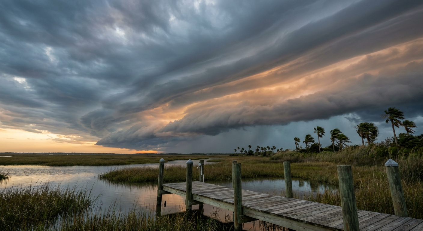
A Crowded Pacific: Hurricane Polo Peaks at Category 4 While Hawaii Eyes Another Tropical Threat
Alright y'all, the Pacific is stacked three deep this morning, and one of those systems is knocking on Hawaii's door for the second time this month. Let's get into it.
Hurricane Polo: A Major Hurricane Off Mexico
Hurricane Polo is the big one right now. Advisory 11 has it at 155 mph winds, a 918 millibar core, and a well defined eye. That's Category 4 strength, and NHC's satellite estimates say the eyewall convection has actually eased off just slightly from where it was a day ago, which tells you Polo may be riding right at its peak.
Polo sits about 185 miles south of Zihuatanejo, Mexico, and it's crawling north at just 2 mph. That slow crawl matters. Outer rainbands are already reaching the coast of southwestern Mexico, and NHC's impact model has Zihuatanejo, Lázaro Cárdenas, Acapulco, and Manzanillo all flagged at an "action" level for this weekend.
The good news for US readers: there's no landfall forecast for Polo. The closest approach to land in the official track keeps the center about 77 kilometers offshore around Saturday evening, and by then the forecast has it down to 115 mph as it starts to weaken over cooler water. Still, a storm that big doesn't need to make landfall to cause problems. Life-threatening surf, rip currents, and mudslide risk in the coastal mountains of Guerrero, Michoacán, and Colima are all in play through the weekend.
Hurricane Odalys, Trailing Behind
Hurricane Odalys strengthened into a hurricane overnight too, now sitting at 75 mph winds well offshore, about 1,295 miles west-southwest of the tip of Baja California. This one's moving away from land at 9 mph to the east-northeast, and by the time current guidance brings it anywhere near Baja late next week, it's forecast to weaken to around 35 mph, a shell of its former self. Not a US concern. Just a name to keep track of if you're watching the tropics.
Hawaii's Second Look at the Tropics This Month
Here's the story we're watching closest. Tropical Depression Fifteen-E redeveloped southeast of the Hawaiian Islands overnight, and NHC says it's forecast to strengthen quickly. Right now it's a 35 mph depression about 575 miles southeast of Hilo, moving west-northwest at 12 mph.
Sound familiar? It should. Y'all remember Hurricane Lowell tracking past Kauai and Niihau back on September 7 and 8, with those 85 mph gusts and the storm surge damage in Poipu. We're not saying Fifteen-E is going to be Lowell. But the impact model is already flagging Hawaii Island's south side at a "prepare" threat level, with the storm forecast to reach roughly 77 mph, right at hurricane strength, by the time it gets within about 150 miles of the Big Island in three and a half days. That puts the timing somewhere late this weekend into early next week.
This model is experimental, and there's real uncertainty in exactly how strong Fifteen-E gets and how close it tracks. But if you're on the Big Island, especially the Kona Coast, Hilo, or the south side, now's the time to double check your hurricane kit, not wait for a watch to get posted. Kauai just went through this in early September. Don't let déjà vu turn into complacency.
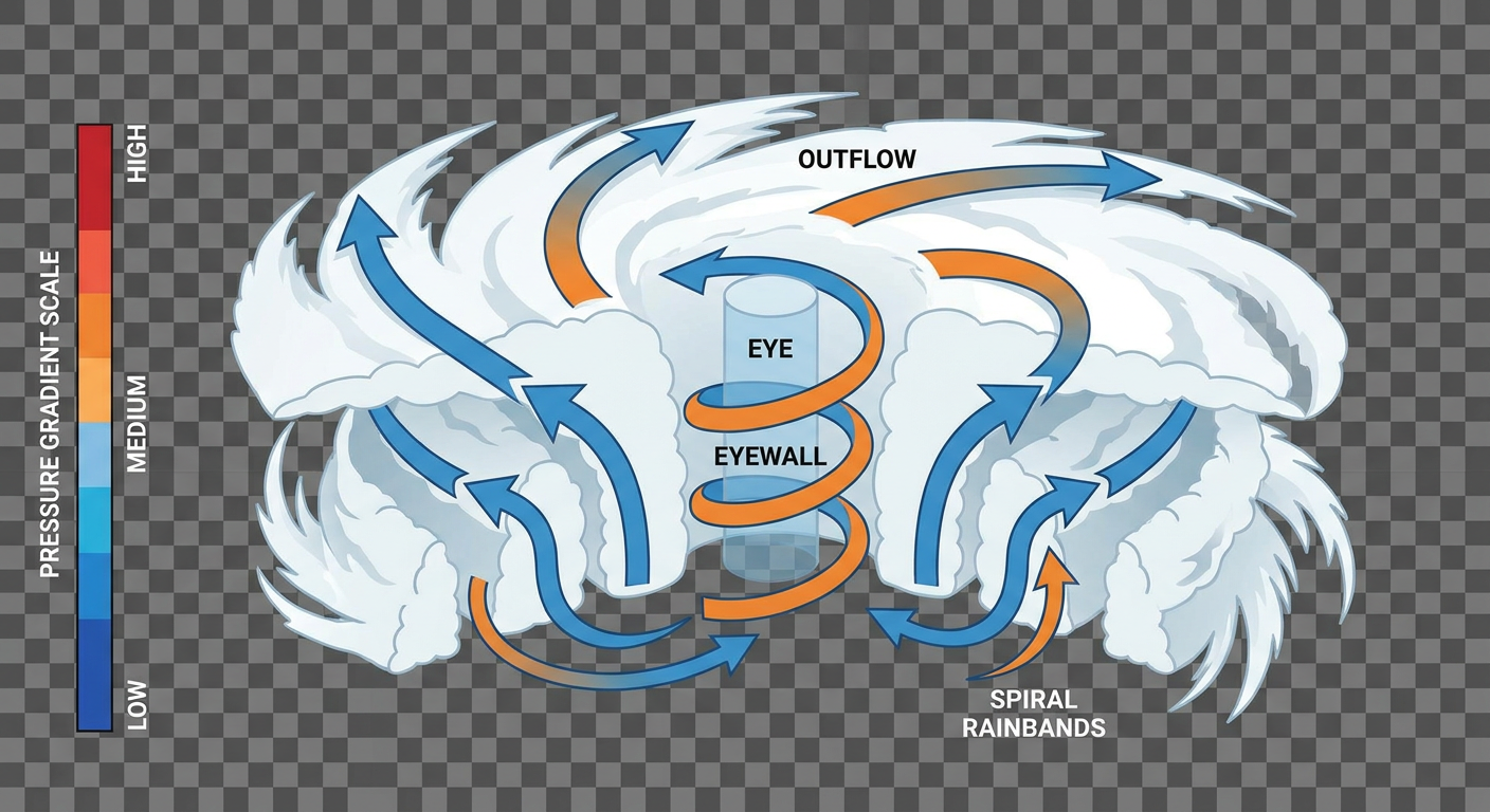
The Flooding Threat Nobody's Talking About: New Mexico and West Texas
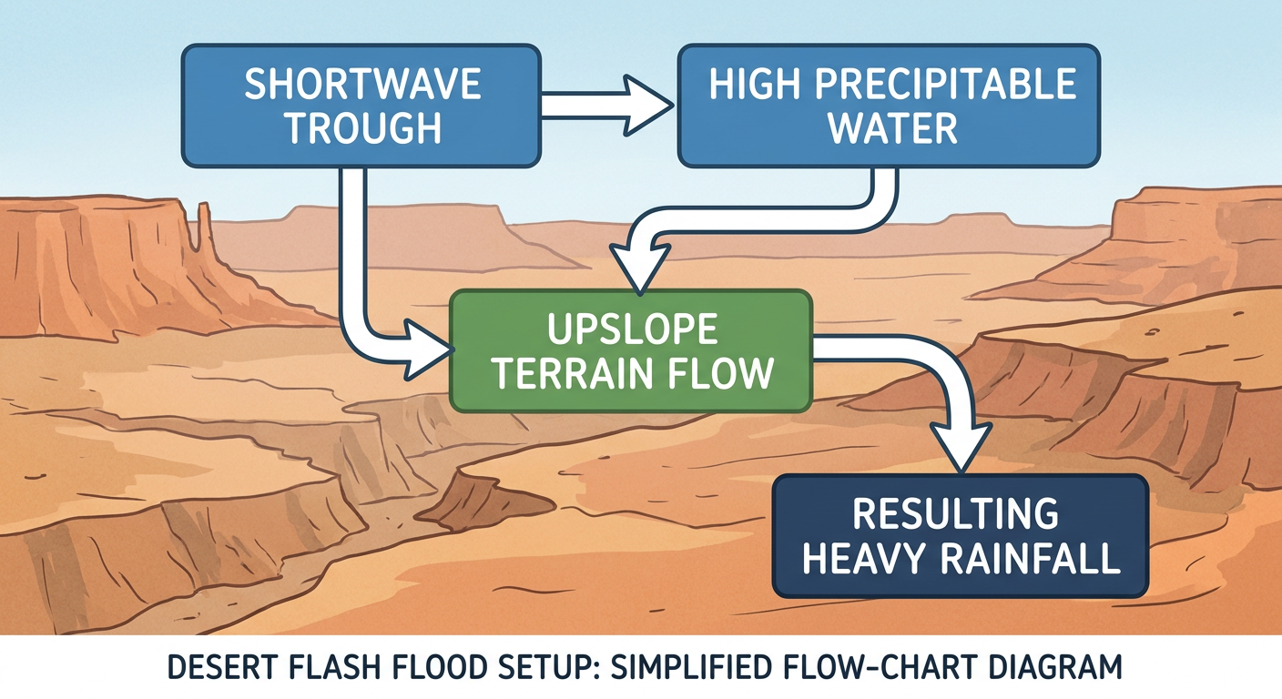
While the tropics get the headlines, the more immediate US flood threat sits over the desert Southwest. WPC has a Moderate risk of excessive rainfall posted today across southern New Mexico, spilling into West Texas. A shortwave trough is lifting north out of Chihuahua overnight, running into deep moisture and strong upslope flow along the Southern Rockies.
That threat doesn't end today. WPC's Day 2 outlook keeps the flooding setup alive across central and eastern New Mexico on Thursday, and their own discussion calls it a continuing Moderate-level scenario even though the categorical map only shows a Slight risk box for that day. Translate that as: expect another round of 2 to 4 inches of rain, locally up to 5 inches, with scattered to numerous flash floods possible. Burn scars and steep terrain in that region are especially vulnerable. By Friday, the Day 3 outlook backs off to Marginal but stretches the moisture axis northeast into the central Plains, so Kansas and Nebraska could see their own round of training thunderstorms and localized flooding.
If you've got travel plans through El Paso, the Sacramento Mountains, or anywhere along I-10 or I-25 in New Mexico this week, build in extra time and watch for road closures.
Southern Appalachians: A Marginal Severe Risk Today
Closer to home for a lot of our regular readers, SPC has a Marginal risk of severe thunderstorms up today across the southern Appalachians, covering Knoxville and Chattanooga in Tennessee, and up into Rainsville and Scottsboro, Alabama, and Dalton, Georgia. About 3 million people sit inside that risk area.
This is a low-end setup. SPC's probabilities put both the wind and hail threat at 5 percent, which is Level 1 on their scale. A surface trough moving in ahead of a mid-level shortwave will fire up some afternoon storms, and if one gets going strong enough, isolated 60 mph gusts or quarter-size hail are possible. Nothing widespread, but if you've got outdoor plans in east Tennessee or northwest Georgia this afternoon, keep half an eye on the sky.
Quick Hits
- Space weather: SWPC is calling for a G1 minor geomagnetic storm Thursday, September 25, as a coronal hole high-speed stream arrives. Kp could reach 5. If you're way up in the northern tier, that's aurora-watching territory after dark, though nothing disruptive is expected for the rest of us.
- Flying today: Southeast and Desert Southwest travelers should expect scattered thunderstorm delays, with morning fog dropping visibility along the California coast before it burns off. Texas, the Midwest, and the Northeast look mostly smooth.
- Nice weather pocket: If you want the best sky in the country today, head to Upper Michigan or northern Wisconsin. High pressure has scoured the clouds out and dried the air up there, about as close to a "perfect" day as the calendar allows.
- On the calendar: The State Fair of Texas kicks off in Dallas this week and the Oklahoma State Fair is wrapping up its run in OKC. Neither city shows up in today's active risk areas, so outdoor plans there should hold up, though it's worth keeping an eye on the pattern given how active this month has already been.
Bottom Line
The tropics are busy, but the storm to actually watch for US impact is Tropical Depression Fifteen-E, which is forecast to reach hurricane strength as it approaches Hawaii Island this weekend. If you're on the Big Island, get your hurricane plan ready now, don't wait on a watch. Hurricane Polo is a genuine Category 4 system, but it's staying offshore of mainland Mexico with no landfall forecast, so for US readers it's more a "watch the news" story than a "take action" one. Closer to home, the real flood threat sits over New Mexico and West Texas, where Moderate-risk rainfall could produce another round of flash flooding into Thursday. And if you're in east Tennessee, northwest Georgia, or northeast Alabama, keep an eye out for isolated strong storms this afternoon, though today's risk stays low-end.