Blog Article
Midwest Tornado Threat & Gulf Coast Flooding | June 17
A Level 4 Moderate Risk brings a strong tornado threat to Illinois and Indiana today, while Potential Tropical Cyclone One dumps heavy rain on the Gulf Coast.
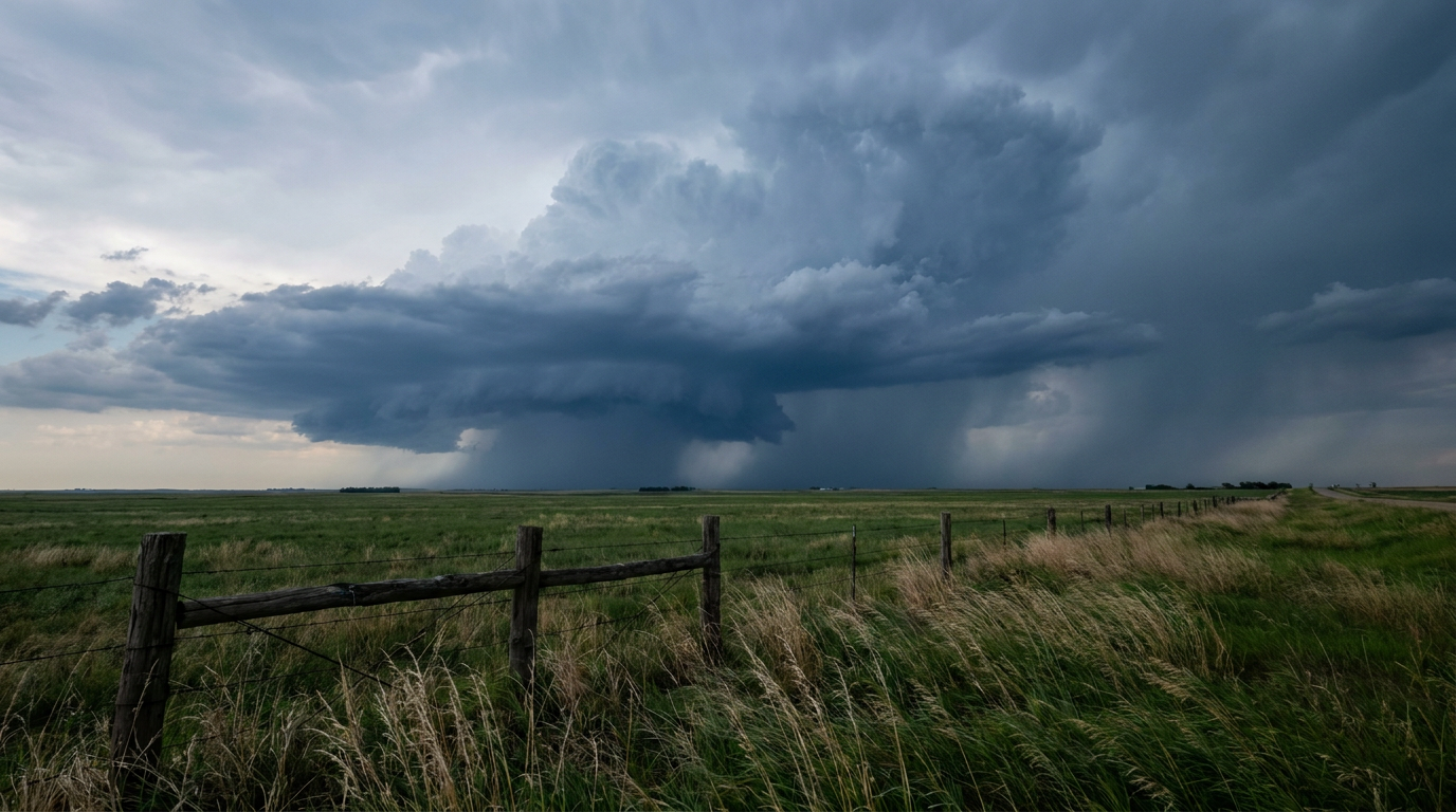
A Dangerous Midwest Severe Outbreak and Relentless Gulf Coast Flooding
Alright y'all, today is one of those days where you need to have your head on a swivel. We are tracking two major, life-threatening weather events happening at the exact same time. Up north, we have a significant severe weather outbreak taking aim at the Midwest. Down south, Potential Tropical Cyclone One is funneling a firehose of moisture into the Gulf Coast.
Let's start with the severe threat, because the ceiling on this event is high.
Level 4 Moderate Risk for Illinois and Indiana
The Storm Prediction Center has maintained a Level 4 out of 5 Moderate Risk for severe storms today across Illinois and Indiana. If you are in Springfield, Peoria, Indianapolis, or Fort Wayne, you are right in the bullseye.
The atmosphere is primed for trouble. We have a potent low-pressure system moving out of the Plains, and it is dragging a strong upper-level jet streak right over a juicy, unstable warm sector. That is a classic recipe for rotating storms.
The data shows a 15 percent hatched risk for tornadoes in this corridor. That means any tornadoes that form could be strong, reaching EF3 intensity or higher. We are also looking at a hatched risk for 75 mph wind gusts and hail the size of hen eggs.
To make matters worse, the Weather Prediction Center has a Moderate Risk for excessive rainfall right over the Chicagoland area today. A warm front is going to trigger heavy showers late this morning, which means we are looking at a messy combination of severe storms and urban flooding. If you are flying through Chicago O'Hare or Midway today, expect a cascade of flight delays.
Potential Tropical Cyclone One Soaks the South
Down on the Gulf Coast, the wind speed of Potential Tropical Cyclone One does not matter. It is sitting around 30 mph, but the water is the real danger here. We already saw life-threatening flash flooding yesterday in South Texas, with some spots picking up over 8 inches of rain and triggering water rescues.
Today, the heavy rain threat expands. The Weather Prediction Center has a Moderate Risk for excessive rainfall posted for parts of the Mississippi Delta. The ground is completely saturated from Houston to Lake Charles. This tropical system is acting like a giant sponge, pulling deep moisture from the Gulf and wringing it out over the exact same areas hour after hour.
We call this "training" thunderstorms, and it is exactly how you get rapid, catastrophic flooding. By Thursday and Friday, the remnants of this system will push east, bringing that Moderate Risk for flooding into southern Alabama and the broader Southeast.
What Else We Are Watching
- Northeast Severe Threat: Looking ahead to Thursday, a Slight Risk for severe storms shifts into the Mid-Atlantic and Northeast. Cities like Philadelphia, New York, and Washington D.C. will see a threat for damaging wind gusts as a cold front sweeps through. Keep an eye on the radar if you are heading out to the U.S. Open in New York tomorrow.
- Columbia Basin Fire Weather: It is not all rain today. Critical fire weather conditions are locked in for Eastern Washington and North-Central Oregon. We are expecting westerly wind gusts up to 40 mph overlapping with bone-dry brush.
- Space Weather: The Space Weather Prediction Center notes a slight chance for M-class solar flares over the next couple of days, though geomagnetic storm activity is expected to remain below G1 levels.
The Bottom Line
If you live in the Midwest Moderate Risk area, you need multiple ways to get warnings today. Make sure your phone alerts are loud enough to wake you up, and have your safe room cleaned out and ready before the first drop of rain falls.
If you are on the Gulf Coast, stay off the roads when the heavy bands move through. It only takes a few inches of moving water to sweep a car away. Turn around, don't drown is not just a catchphrase. It saves lives.
https://ryanhallyall.com/blog/a-dangerous-midwest-severe-outbreak-and-relentless-gulf-coast-flooding