Blog Article
Level 3 Severe Weather in the South & Rockies Hard Freeze
A Level 3 Enhanced Risk brings tornado and large hail threats to the Deep South today, while Colorado and New Mexico brace for a damaging hard freeze.
A Level 3 Severe Threat in the South and a Hard Freeze in the Rockies
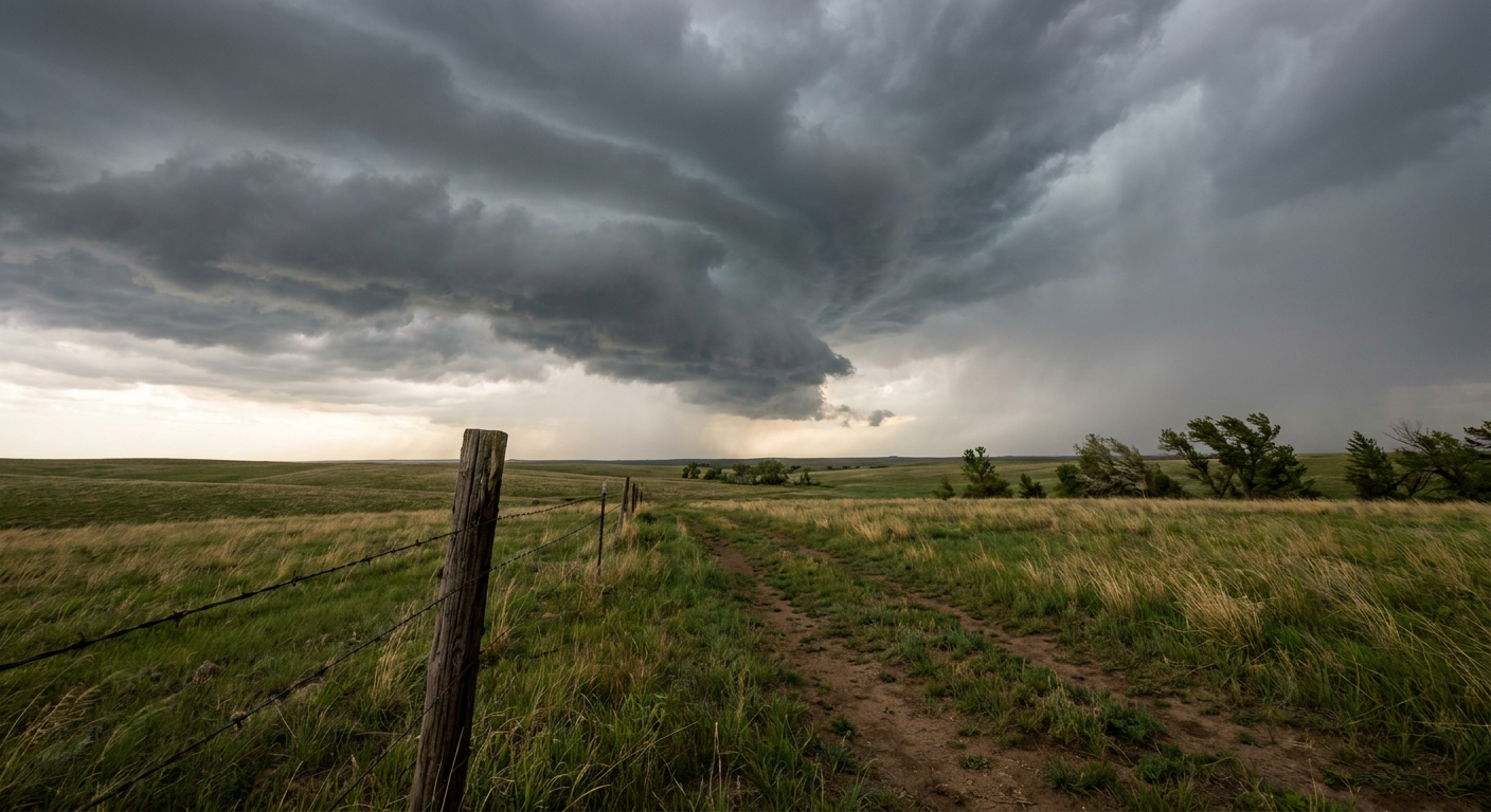
Alright y'all, we have a true spring clash on our hands today. On one side of the country, we are tracking a highly volatile severe weather setup in the Deep South. On the other side, a massive late-season winter storm is leaving behind a hard freeze in the Rockies. It is a wild map out there today.
Let us start with the severe threat, because this is the one that demands your immediate attention.
The Deep South Severe Setup
As we talked about yesterday, the Storm Prediction Center has an Enhanced Risk posted for today. That is a Level 3 out of 5. The target area covers northern Louisiana, central Mississippi, and central Alabama. If you live in Jackson, Tuscaloosa, or Birmingham, you need to be paying close attention this afternoon and evening.
Here is the thing. The main concern today is tornadoes. We have a 10 percent probability area that includes a hatched zone. That means if a severe storm forms and drops a tornado, it has the potential to reach EF2 strength or higher. The atmosphere is also primed for huge hail. We are talking hen-egg size, up to two inches across, which will absolutely dent a car or crack a windshield.
We also have a Slight Risk for excessive rainfall stretching up into Tennessee and Arkansas, where localized totals of one to two inches could cause some flash flooding.
If you are flying through Atlanta today, expect cascading delays. The storms are going to cause ground stops across the Southeast, and that backs up the whole system. Pack your patience if you are heading to the airport.
Winter's Last Gasp in the West
Now look out West. The high elevations of Colorado just picked up over 20 inches of snow. As that system pulls away, it is dragging down some seriously cold air.
Denver normally sees low temperatures around 43 degrees in early May. Tonight, temperatures are going to plummet into the 20s across eastern Colorado and northern New Mexico. We have widespread Freeze Warnings in effect. That is nearly 20 degrees below normal for this time of year.
If you went ahead and planted your spring garden early, you need to cover those plants up tonight or bring them inside. This is a hard freeze that will damage sensitive vegetation.
Looking Ahead to Thursday
By tomorrow, the cold front driving all this southern storm activity will sag closer to the coast. We are looking at a Marginal Risk, a Level 1 out of 5, for severe storms from the Florida Panhandle up into South Carolina. The main threats will shift to isolated damaging wind gusts and maybe a brief tornado.
Behind that front, dry air and breezy conditions will elevate the fire weather risk across the Florida Peninsula.
The Bottom Line
Have multiple ways to get warnings today if you live anywhere near the I-20 corridor in the South. Keep your phone off silent, and know exactly where you will go if a tornado warning is issued for your town. If you are out West, protect your plants and watch out for icy patches on the roads tonight as that melted snow freezes back up.
https://ryanhallyall.com/blog/a-level-3-severe-threat-in-the-south-and-a-hard-freeze-in-the-rockies