Blog Article
High Plains Dryline Brings Fire Risk and Severe Storms
A sharp dryline across the High Plains is sparking critical fire weather out west and severe thunderstorms to the east. Here's what to expect this week.
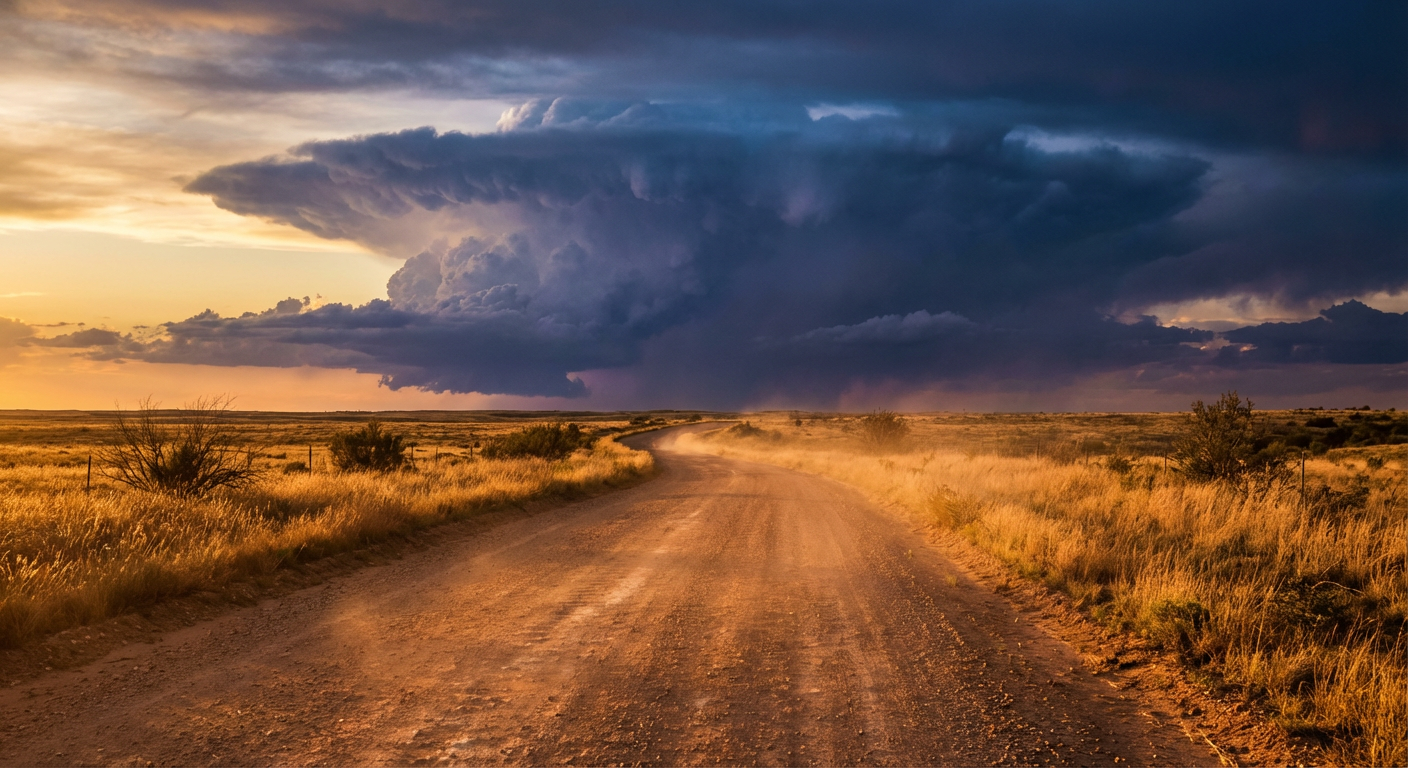
A Line in the Sand: Fire Out West and Severe Storms on the Plains
Alright y'all, we've got a classic spring setup taking shape across the middle of the country today. Last night we talked about that stubborn cutoff low bringing a muddy mess to Texas. Today, our eyes are shifting north and west toward the High Plains, where a sharp dryline is about to dictate the weather for half the country.
Here's the thing about a dryline. It is exactly what it sounds like, a boundary separating incredibly dry desert air from juicy, Gulf of Mexico moisture. And depending on which side of that line you find yourself on today, you're going to see two completely different extremes.
The Great Divide: Fire and Storms
West of the dryline, things are looking downright dangerous for fire weather. We've got an expansive Critical Fire Weather area covering parts of northeastern New Mexico, Colorado, and Wyoming. The National Weather Service office in Denver and Boulder has hoisted Red Flag Warnings. We are looking at relative humidity dropping as low as 4 percent. Combine that with winds gusting 35 to 45 mph, and any spark is going to run fast. If you're traveling along I-25 today, keep both hands on the wheel for those crosswinds and absolutely no outdoor burning.
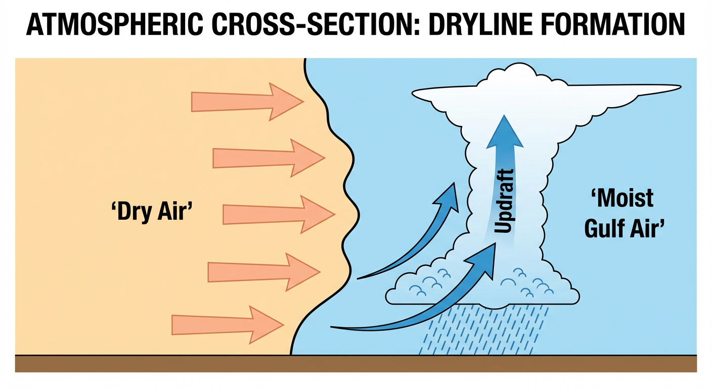
East of that line, the atmosphere is getting primed for storms. The Storm Prediction Center has a Marginal Risk for severe weather stretching from the Texas Panhandle up through South Dakota for late this afternoon and evening. Places like Lubbock, Amarillo, and Rapid City need to be on alert for large hail and damaging wind gusts. It's not a panic-level day, but if you're heading out to an outdoor event or catching a high school baseball game this evening, keep an eye on the radar.
Late-Season Snow in the Rockies
While the Plains are dealing with fire and hail, the Northern Rockies are getting a stark reminder that April can still bring winter. A progressive upper-level trough is digging into the western US, bringing an unseasonably cold airmass right along with it. We're talking about 8 to 18 inches of heavy snow possible in the higher elevations of Idaho and Montana.
Denver's normal high for late April is right around 61 degrees. They are going to see some wild swings over the next few days as this system pushes through and the winds kick up. If you're catching the Padres at the Rockies tonight or tomorrow, bring a heavy jacket.
A Busy Week Ahead for the Southern Plains
Get this, the severe threat doesn't stop after today. We are looking at a prolonged active pattern. Tomorrow, that severe threat shifts east and upgrades to a Slight Risk from northern Oklahoma up into southern Minnesota. Kansas City, Omaha, and Wichita are right in the bullseye for large hail, damaging winds, and maybe a few tornadoes.
Looking even further out, the Storm Prediction Center already has 15 percent probability areas highlighted for Days 4, 5, 6, and 7. That covers a huge chunk of real estate from Dallas and Oklahoma City over to Little Rock and Memphis. If you live in the Southern Plains or the Mid-South, this is your heads-up. You are going to need to stay weather-aware through the entire weekend.
Bottom Line
If you live west of the High Plains dryline, respect the Red Flag Warnings. Do not drag trailer chains, do not toss cigarettes, and avoid any outdoor sparks. If you live east of the dryline from Texas up to the Dakotas, have a reliable way to get warnings today and tomorrow. And for our folks in the Southern Plains, use today's quiet weather to review your severe weather plan, because the weekend is looking incredibly busy.
https://ryanhallyall.com/blog/a-line-in-the-sand-fire-out-west-and-severe-storms-on-the-plains