Blog Article
Massive Cold Front Brings Frost, Fire Danger, and Snow
A powerful cold front sweeps across the US, bringing widespread frost to the Midwest, critical fire danger to the Plains, and mountain snow to the Northeast.
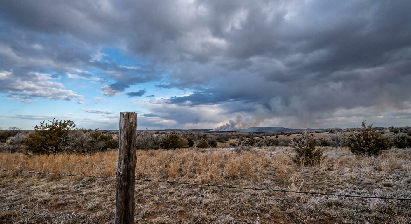
A Massive Cold Front Brings Frost, Fire Danger, and Mountain Snow
Yesterday was a tough one, y'all. We saw some incredibly dangerous storms tear through the Midwest, and our hearts go out to the folks in Illinois and Wisconsin cleaning up today. That same storm system is still on the move. It is dragging a massive cold front across the eastern half of the country, and it is completely flipping the script on our weekend weather.
Frosty Mornings in the Midwest
Behind that front, the air is cold, dry, and crisp. If you are heading to Wrigley Field this evening to watch the Mets take on the Cubs, you will want to bring a heavy jacket. Chicago normally sees lows around 41 degrees this time of year, but we are looking at widespread frost and freeze conditions across the Midwest and Ohio Valley tonight. High pressure is settling in, the skies are clearing out, and those temperatures are going to drop fast once the sun goes down.
Critical Fire Danger Out West
Here is the thing about that cold front. It swept all the moisture right out of the Southern Plains. Now we are left with bone-dry air and gusty winds.
The Storm Prediction Center has a Critical fire weather outlook posted for the Oklahoma and Texas Panhandles, southwest Kansas, and southeast Colorado. We are talking about humidity dropping down to 10 percent with wind gusts up to 35 mph. If a spark catches in these conditions, the wind will carry it faster than you can run. Please do not burn anything outdoors this weekend, and avoid parking hot vehicles on dry grass.
Storms East, Snow North
The front is not done making noise just yet. Today, it is pushing through the Upper Ohio Valley and into the Appalachians. We have a Slight Risk for severe storms around Pittsburgh, Buffalo, and Akron. The main threats are damaging wind gusts and maybe some isolated large hail.
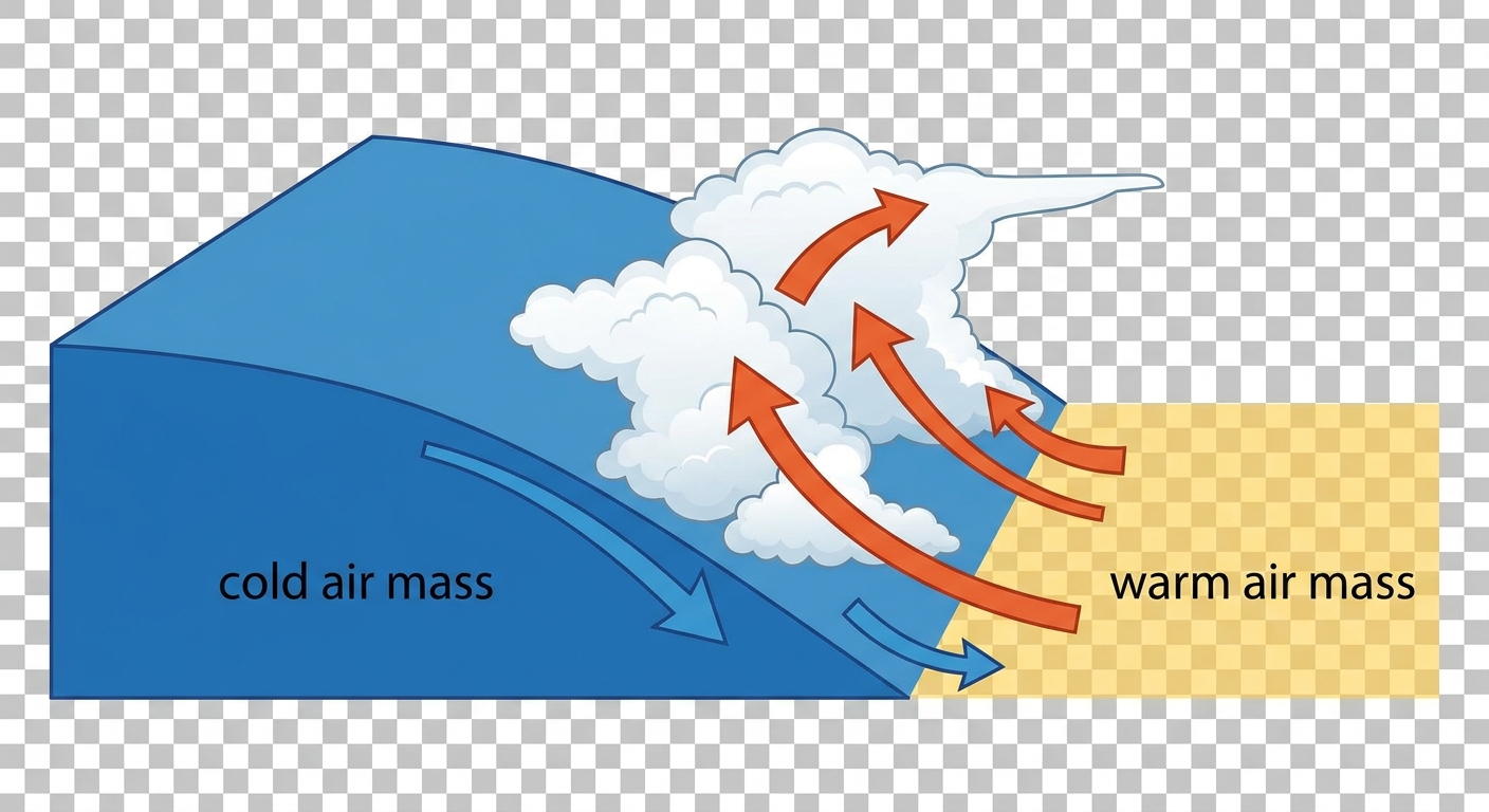
Further north, the cold air is going to catch up to the moisture. Up in the Adirondacks, the Green Mountains, and the White Mountains, rain is going to change over to snow by Sunday morning. The Weather Prediction Center is giving a 10 to 30 percent chance of seeing over 4 inches of snow in those higher elevations. Keep the snow shovels handy for one more weekend.
Stalling Out in South Texas
Down south, the front is going to hit the brakes. It is stalling out right over South Texas and the Gulf Coast. That boundary is going to act like a ramp for moisture coming off the Gulf of Mexico.
We have a Marginal Risk for excessive rainfall from San Antonio over toward Houston. Expect a quick 1 to 2 inches of rain, with some isolated spots seeing up to 4 inches. If you are driving on I-10 this weekend, watch out for water ponding on the roads and leave a little early for your commute.
Bottom Line
- Midwest and Ohio Valley: Cover your sensitive plants tonight and keep the heater running.
- Southern High Plains: Absolutely no outdoor burning. The fire danger is critical today and tomorrow.
- Upper Ohio Valley: Have a way to get weather warnings this afternoon if you are out and about.
- Northeast: Watch for slick mountain roads on Sunday morning as rain transitions to snow.
https://ryanhallyall.com/blog/a-massive-cold-front-brings-frost-fire-danger-and-mountain-snow