Blog Article
Midwest Severe Threat & Southwest Heat: Weekend Weather Breakdown
A massive weekend weather setup brings a severe storm and tornado threat to the Midwest, record heat to the Southwest, and heavy snow to the Northern Plains.

A Massive Weekend Clash: Midwest Severe Threat, Southwest Heat, and Northern Snow
Alright folks, y'all know we have been tracking some absolutely wild weather this week. From that giant five-inch hail in Illinois to those unbelievable 100 mile per hour wind gusts in Wyoming, the atmosphere has been throwing everything it has at us.
Well, here is the thing. The atmosphere is not done yet.
As we talked about yesterday, this extreme temperature difference across the country is acting like a giant engine for these storm systems. We are looking at a major, multi-hazard weekend that is going to swing a lot of you from running the AC to digging out your heavy winter hoodies in the span of 24 hours. Let's break down exactly what you need to know.
Sunday's Severe Weather Setup
Get this, we are watching a very potent setup for Sunday afternoon and overnight. The Storm Prediction Center has already highlighted an Enhanced Risk for severe thunderstorms right across the heart of the Midwest and Ohio Valley.
If you live in places like Indianapolis, Evansville, Terre Haute, or down into Jonesboro, Arkansas, you need to be paying close attention. A powerful upper-level storm system is going to eject out of the Plains. It is going to drag a strong cold front right into a surge of warm, moist air coming up from the south.

This means we are looking at a widespread damaging wind event, and yes, the data shows the potential for a few tornadoes. Because this threat extends into the evening and overnight hours, it is incredibly important that you have a way to get warnings that will actually wake you up. Do not just rely on outdoor sirens.
By Monday, this whole messy system pushes east. We are already seeing a 30 percent risk for severe weather across the Mid-Atlantic and Carolinas. If you are commuting in Washington DC, Raleigh, or Norfolk on Monday morning, you will need to leave early and pack the rain gear. It is going to be a bumpy start to the work week.
Fire, Ice, and Record Heat
While the Midwest deals with severe storms, the western half of the country is completely split in two.
Down south, we are talking about unseasonably warm, potentially record-breaking heat. A massive ridge of high pressure is parking itself over the Interior West. If you are heading out to any of the Spring Training baseball games in Arizona this weekend, you are going to need the sunscreen and plenty of water. It is going to feel like the middle of summer out there.
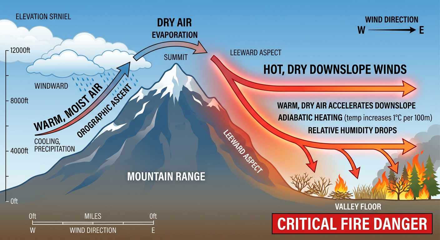
But that heat comes with a cost. On Saturday, we have a Critical Fire Weather area for central and eastern New Mexico right into West Texas. Strong westerly downslope winds gusting 15 to 20 miles per hour are going to overlap with humidity levels dropping to near 10 percent.
Up north, it is a completely different world. I know northern Minnesota is already dealing with school closings today from a quick-moving clipper system dropping heavy snow. But there is a much bigger winter storm developing across the Northern High Plains today into Saturday. This thing is going to expand and intensify, pushing heavy snow and gusty winds into the Upper Midwest by Sunday morning.
And we cannot forget about the Pacific Northwest. An intense Atmospheric River is just completely hosing the Washington and Oregon Cascades. We are talking about several feet of snow in the high elevations and persistent, heavy rain down low.
What We Are Watching Closely
- Sunday Night Storms: The severe threat in the Midwest (Indiana, Illinois, Arkansas) will likely peak late in the day and into the dark hours. Nighttime tornadoes are dangerous, so have your weather radio ready.
- Monday East Coast Commute: The severe threat shifts to the Carolinas and Virginia on Monday. Damaging winds are the main concern here.
- Southwest Tinderbox: Please avoid any outdoor burning in New Mexico and West Texas this weekend. With those high winds and dry conditions, a single spark will spread out of control instantly.
- Blizzard Conditions: If you have travel plans across the Dakotas or Minnesota this weekend, expect significant delays and potentially impassable roads by Sunday.
The Bottom Line
This weekend is not the time to tune out the forecast. If you live in the Midwest or Ohio Valley, take five minutes today to check your safe room, make sure your weather radio has fresh batteries, and download a reliable radar app on your phone. If you are traveling across the Northern Plains, pack a winter survival kit in your car.
Stay weather aware this weekend, y'all. I will be keeping a close eye on the data and will post updates as this system develops.