Blog Article
Slight Risk Severe Storms Hit Plains, Upper Midwest Aug 25
SPC Slight Risk covers the central Plains and upper Mississippi Valley today with damaging wind and hail threats, plus a look at four active tropical storms and Phoenix's extreme heat.
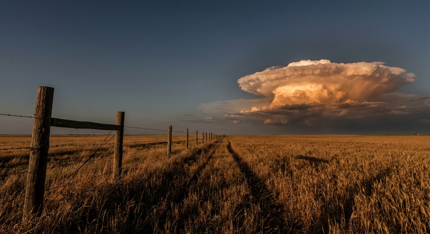
A Slight Risk Sets Up Over the Plains While a Crowded Tropics Stays Offshore
Alright y'all, let's get into it. After a wild Monday that put a 77 mph gust on the books near Wishek, North Dakota, and dumped 8.74 inches of rain on Rugby, the Plains aren't done yet. Today's the day we've got a fresh SPC Slight Risk of severe storms, and Duluth is right back in the crosshairs of the same general pattern that's been hammering the Dakotas and Nebraska for a solid two weeks now.
Today's Severe Weather: Central Plains Into the Upper Mississippi Valley
SPC has a Slight Risk posted for a swath that includes Amarillo, Springfield (Colorado), and Beloit and Colby, Kansas, plus a separate arm of that Slight Risk reaching up to Duluth, Minnesota. A much bigger Marginal Risk envelope wraps around all of that, running from Jacksonville up through Omaha, Colorado Springs, Minneapolis, and Wichita.
Here's the setup in plain terms. A modest bump in the large-scale pattern is helping storms fire on the central and southern Plains this afternoon and evening, with a separate cluster possible in the upper Mississippi Valley. Damaging wind gusts and large hail are the headline threats today, not tornadoes, though SPC does carry a 2 percent isolated tornado chance in there. The wind threat is the sharper edge of this one: a 15 percent (Level 2) probability zone for damaging gusts sits inside the broader outlook, and there's a hatched area where gusts of 75 mph or more are possible if the strongest cells fire. Hail up to golf-ball size or better is on the table in that same hatched zone.
If that 75 mph number sounds familiar, it should. That's basically what North Dakota and South Dakota already saw Monday night, and it's the kind of number that snaps power poles and flips trailers, not just rattles windows.
Tomorrow's Look: The Risk Shifts East and Fragments
Day 2 pushes the Slight Risk into the central High Plains near Denver and Colorado Springs, plus a new pocket over the western Great Lakes covering Fort Wayne and Springfield, Illinois. The Marginal Risk balloons out to cover a huge chunk of the country, Chicago, Indianapolis, Detroit, Memphis, and Toledo included. Effective shear near 30 to 35 knots could support a few transient supercells in eastern Colorado and western Kansas, and there's a hatch for 2 inch hail and gusts over 75 mph in the strongest storms there. Farther east, the Ozarks into the Lower Mississippi and Tennessee Valleys are looking at heavy rain and gusty downdrafts more than a classic severe setup.
By Day 3, the concern narrows to a Marginal Risk for the Mid-Atlantic and Northeast, including New York, Philadelphia, and Washington, D.C., as a broader trough finally starts sliding east.
Rain Risk: Northeast Florida and the Georgia Coast
WPC has a Slight Risk of excessive rainfall today along the I-95 corridor from northeast Florida up through the Georgia coast. Seabreeze thunderstorms are the culprit, with onshore flow helping storms train right along the coastline. If you're in Jacksonville or Savannah today, keep half an eye on the sky this afternoon, ponding on low-lying roads is the realistic outcome here, not a flood emergency, but it can still mess up an evening commute.
Looking a couple days out, WPC drops a Marginal Risk over the Southwest, Rockies, central Plains, and Lower Mississippi Valley for Wednesday, then broadens that Marginal Risk into the Southeast and Mid-Atlantic by Thursday as a stalled front lingers.
A Crowded Tropics, But Nothing Aimed at the Mainland
This is one of those weeks where the tropics look busy on paper but calm for U.S. mainland interests. Tropical Storm Iselle is churning about 660 miles west of the southern tip of Baja California with 70 mph winds, moving northwest and staying well offshore. Right behind it, Tropical Storm Julio just got its name this morning southwest of Iselle, sitting at 45 mph and fighting some wind shear from its bigger neighbor. Neither one has a forecast landfall.
Out in the Central Pacific, Tropical Storm Lala is a few hundred miles north of Pearl and Hermes Atoll and has weakened slightly to 50 mph, tracking away from Hawaii. And the remnants of Moke, once a tropical depression south of the islands, have opened up into a trough. NHC issued its final advisory on that system overnight.
The one worth a longer look sits near Bermuda: an area of low pressure a couple hundred miles east-northeast of the island, moving north at 15 to 20 mph. NHC gives it a solid shot at becoming a short-lived depression or storm today before it runs into cooler water and stronger upper winds. Even in the higher-end scenario, its track keeps it heading away from the U.S. East Coast, so this is a watch-and-wait item rather than an alert item.
Heat Still Cooking the Desert Southwest
Phoenix is staring down highs in the 110 to 115°F range this week, which is 5 to 10 degrees above the August normal high of 105°F, and that's before you factor in the Major to Extreme HeatRisk categories NWS is using for the metro. Monsoon storms are still in the mix too, so gusty winds and localized flash flooding remain possible even on the hottest afternoons. If you're out there, this is AC-running, water bottle in the car kind of heat, not just a warm day.
What We're Watching
- Duluth and the western Great Lakes carrying real severe potential two days running, today and tomorrow
- The 75+ mph gust hatch over the central Plains today, echoing Monday night's Dakota winds
- Seabreeze storms along the Florida/Georgia coast today, best chance of localized street flooding
- The Bermuda-area low's short window to organize before it runs out of warm water
- Phoenix's extended stretch of 110°F-plus heat continuing through the week
- A stray M-class solar flare chance through Thursday, with a slight chance of a G1 geomagnetic storm late Thursday from a coronal hole stream, nothing disruptive expected on the ground
Bottom Line
If you're anywhere from the Texas Panhandle up through Kansas into Minnesota today, have a way to get severe weather alerts this afternoon and evening. Damaging wind gusts and large hail are the real threats, and after what North Dakota and South Dakota just went through, this pattern has already shown it can produce. Along the Georgia and Florida coast, watch for quick-hitting downpours that can flood a low spot in a hurry. And out west, Phoenix folks, this isn't a normal August hot spell, treat it like the extreme heat it is. The tropics are noisy right now with four named storms spinning at once, but none of them have your name on it if you're reading this from the mainland U.S.