Blog Article
Texas Faces Major Flood Threat While Midwest Braces for Storms
A deep plume of tropical moisture brings a major flash flood threat to the Texas Gulf Coast, while the Midwest prepares for an Enhanced severe weather risk.
A Tropical Deluge for Texas and a Severe Reload in the Midwest
Alright y'all, after a chaotic weekend of severe weather that tracked all the way from the Plains to the Mid-Atlantic, the atmosphere is shifting gears. The main story today is not wind or hail. It is water, and a whole lot of it, taking aim at the Deep South.
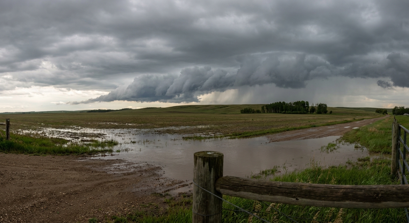
The Texas Water Hose
Here is the thing about tropical disturbances: a storm does not need a name to cause a disaster. Right now, we have a broad area of low pressure sitting over northeastern Mexico and the western Gulf. The National Hurricane Center gives it a very low chance of developing into an organized tropical depression. But the name simply does not matter. The moisture does.
We are looking at a massive plume of deep tropical moisture streaming directly into South Texas and the Texas Gulf Coast. The Weather Prediction Center has issued a Moderate Risk for excessive rainfall today and tomorrow for the entire Texas coastline, stretching over into west-central Mississippi.
The atmosphere is holding near-record amounts of water vapor for mid-June. As this moisture hits the coast, it is going to wring out like a sponge. We are expecting continuous, numerous showers and thunderstorms training over the same areas. If you live around Corpus Christi or Houston, you need to be ready for rapid urban flooding. Normal high temperatures for Houston in mid-June are in the low 90s, but this heavy rain and cloud cover will keep things significantly cooler and incredibly muggy.
If you are flying out of Houston today, or driving the I-10 corridor, plan for major delays. The ground is going to saturate fast, and water will pool on the roadways quickly.
Severe Threat Shifts to the Midwest
While the South deals with the rain, the Midwest needs to prepare for a different kind of threat. Tomorrow, we have a Marginal Risk for severe storms stretching from Chicago over through Detroit and Indianapolis. It is a low-end threat for an isolated tornado or some damaging wind gusts, mainly driven by a midlevel shortwave trough moving into the Great Lakes.
But Wednesday is the day you need to circle on your calendar.
The Storm Prediction Center has already posted an Enhanced Risk for severe thunderstorms across the Mid-Mississippi Valley into Indiana. This covers St. Louis, Springfield, and Indianapolis.
Get this: the SPC is explicitly warning about an all-hazards severe episode. As that shortwave trough moves east, the atmosphere ahead of it is going to become highly unstable. Intense thunderstorms are expected to develop, and they could produce swaths of damaging wind, large hail, and strong tornadoes. If you have tickets to see the Mets play the Reds in Cincinnati on Wednesday evening, you need to keep a very close eye on the sky and have a way to get warnings.
A Quick Look Up
For my space weather folks, we have a neat little bump in solar activity on the way. A coronal mass ejection left the sun on June 12, and a glancing blow is expected to arrive tomorrow. It might push the geomagnetic index up to a Kp 4. That is not quite high enough for a major aurora show down here in the lower 48, but it is enough to keep the space weather prediction centers busy.
Bottom Line
If you are on the Texas Gulf Coast, the flash flood threat is real and it is going to last for days. Do not drive your car into flooded roadways. If you live in the Midwest, specifically from Missouri into Indiana, use today and tomorrow to review your severe weather plan. Make sure your weather radio has fresh batteries before Wednesday afternoon.
https://ryanhallyall.com/blog/a-tropical-deluge-for-texas-and-a-severe-reload-in-the-midwest