Blog Article
Flood Risk Hits Texas Right as ACL Fest Weekend Begins
A Moderate excessive rainfall risk covers Austin, Dallas, and the I-35 corridor as ACL Fest and the State Fair of Texas both get underway. Here's what festival-goers need to know.
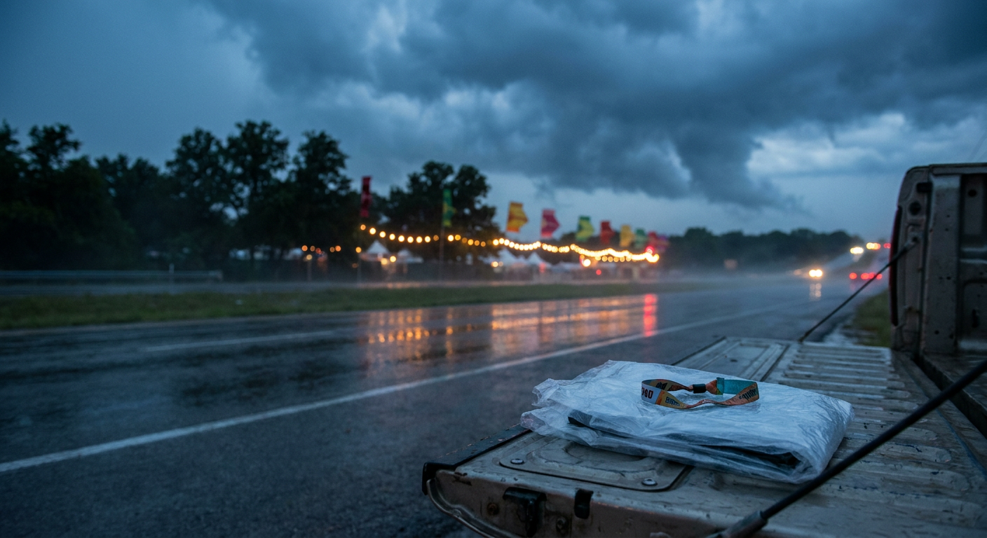
ACL Weekend One Meets Texas's Flood Season Encore
Y'all know the drill by now if you live along I-35. Gates open at Zilker Park for Austin City Limits Weekend One on Friday, the State Fair of Texas is still cranking out corny dogs up in Dallas, and once again the Weather Prediction Center has drawn a Moderate excessive rainfall risk right across the middle of it all. This isn't a new story for Texas this month. It's basically the sequel.
The Risk Sitting on Top of Two Big Weekends
Here's the setup. WPC has a Moderate risk (that's their second-highest tier, meaning at least a 40% chance of rain exceeding flash flood guidance) stretched from south-central Texas through the Hill Country and up the I-35 corridor into the Dallas-Fort Worth-to-Austin-San Antonio belt, running through Thursday night into Friday. Day 2 keeps that same Moderate risk centered right over much of Texas into southeastern Oklahoma, with south-central Texas and the Hill Country again in the bullseye. The forecast discussion is blunt about it: a broad upper-level low sitting near the Arizona-New Mexico border is pumping deep, muggy air northward, and guidance signals a legitimate chance for 2 to 4 inches of additional rain, with locally higher totals, on ground that's already saturated.
That last part matters. This is the same general corridor that's been dealing with rain on top of rain for weeks. The news wire isn't wrong calling it "another day of pounding rain" for Texas. Earlier this month, Tropical Storm Edouard dumped 10 to 21 inches on Hardin, Tyler, and Polk counties in southeast Texas. The ground statewide has had very little time to dry out since.
Why This Keeps Happening in Late September
Texas in late September still sits in a warm, moisture-rich air mass. Dallas's average high this time of year is 90°F, San Antonio runs 91°F, and that kind of warmth holds a lot more water vapor than a cooler air mass would. Pair that with a slow-moving upper low that won't kick the moisture out of the way, and you get what meteorologists call training storms: cell after cell rolling over the same stretch of ground like train cars on the same track. That's the mechanism behind flash flood emergencies, and it's exactly what's been feeding this pattern.
What It Actually Means If You've Got Tickets
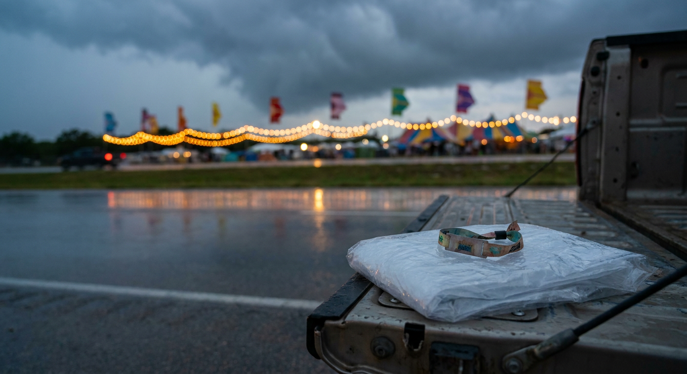
If you're headed to Zilker Park or the fairgrounds off Fitzhugh Avenue, this isn't a reason to cancel plans, but it is a reason to pack smart. Waterproof footwear over sandals. A real rain layer, not a festival poncho that shreds in wind. Know where the low-lying parking areas are, because Hill Country and I-35 corridor flooding has a track record of turning parking lots into standing water fast. And keep an eye on festival push alerts. Outdoor events across Texas have paused and resumed for weather plenty of times this year already.
Not Just Rain, Either
SPC has a Slight risk of severe storms Wednesday into Thursday stretching from Kansas into the Texas Panhandle and southwest Oklahoma, with a 5% tornado probability and a 15% damaging wind probability in the higher-end zone. That's a lower-end threat than the flood risk, but it's worth knowing if you're driving I-35 or I-40 into the festival grounds from the north or west this week.
The Takeaway
Two of Texas's biggest fall traditions are running right through a Moderate flash flood risk this week, and the reason is the same warm, saturated air mass that's been soaking the state on and off since Edouard came ashore September 1. Check the radar before you leave the hotel, bring a real rain layer, and remember that in Texas, flash flooding doesn't wait for a dramatic storm. It just needs rain falling on ground that's already full.
https://ryanhallyall.com/blog/acl-weekend-one-meets-texass-flood-season-encore