Blog Article
Severe Weather and Flood Threats Continue from TX to MI
Tracking today's Slight Risk for severe storms and large hail from Texas to the Great Lakes, plus a growing flash flood threat for the Texas Hill Country.

After the Outbreak: Tracking Today's Severe and Flood Threats
Alright y'all, yesterday was a long day. We watched that Level 4 threat produce a tornado emergency in Nebraska, wind gusts over 90 mph in Kansas, and even a late-season blizzard in Wyoming. If you were in the path of those storms, I hope you are doing okay this morning.
That storm system is still kicking, but the overall threat level has come down a notch. We are not looking at a massive outbreak today. However, we still have a highly volatile environment stretching across a huge chunk of the country.
The Day 1 Setup
The Storm Prediction Center has a Slight Risk posted from Texas all the way up through the mid-Mississippi Valley and into the lower Great Lakes.
Here is what you need to know about the threats today:
- Damaging Winds: There is a 15 percent probability for wind gusts over 60 mph. This is the primary threat for places like Detroit, Indianapolis, and Columbus.
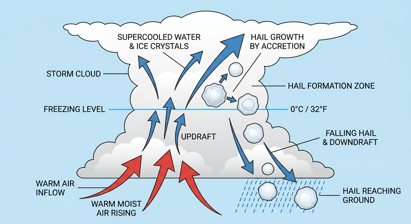
- Large Hail: We also have a 15 percent probability for severe hail. If you live in the southern High Plains or the Ozarks, pay attention. There is a hatched area indicating the potential for hailstones up to two inches in diameter. That is hen-egg size, and it will easily dent your car.
- Tornadoes: The tornado threat is low, sitting at a 2 percent probability, but an isolated spin-up is possible.
Rain and Travel Headaches
It is not just the wind and hail we have to watch. The Weather Prediction Center has highlighted a Slight Risk for excessive rainfall in parts of Texas, as well as southern Illinois and Indiana. A line of intense showers is moving into a very juicy airmass right now.
This is going to cause some major travel headaches. If you are flying through Midwest or South Central hubs today, expect ground stops and delays. Even if you are just driving up I-75, keep your eyes on the road.
If you are heading to Detroit for the Guardians and Tigers game tonight, bring the rain gear and check for delays. Detroit normally tops out around 70 degrees this time of year, but the atmosphere is going to be plenty warm and unstable this evening.
Shifting Focus for Wednesday
Tomorrow, the cold front pushes east. That brings a Marginal Risk for severe storms into the Mid-Atlantic. Places like New York City, Philadelphia, and Washington D.C. could see some gusty winds and isolated hail as that front moves through.
Meanwhile, a new setup is taking shape down in southwest Texas. A low-level jet is going to pump deep Gulf moisture into the Edwards Plateau. That is going to trigger a Slight Risk for excessive rainfall on Wednesday and Thursday. We could see rainfall rates of one to three inches per hour. That is a recipe for rapid flash flooding in the steep terrain of the Hill Country.
Bottom Line
If you live in the Slight Risk area today, have a way to get warnings. If you are traveling through the Midwest or Texas, check your flight status before you head to the airport. And if you live in the Texas Hill Country, start preparing now for heavy rain and potential flash flooding over the next 48 hours.
https://ryanhallyall.com/blog/after-the-outbreak-tracking-todays-severe-and-flood-threats