Blog Article
April 4 Weather: Severe Storms, Flooding, and OKC Recovery
From severe storms threatening baseball games in Detroit to flash flooding in the ArkLaTex, here is your evening weather update for April 4, 2026.
Get this, y'all. My inbox has been absolutely packed with your videos of the Artemis II launch from Florida. It is truly incredible to see humanity heading back toward the moon. Plus, the sun is putting on a show with a massive M7.5 solar flare that kicked off a strong geomagnetic storm. Space is wild right now.
But back down here on Earth, our atmosphere is still throwing some serious curveballs.
Speaking of curveballs, baseball season is in full swing. If you are heading out to Comerica Park in Detroit tonight to watch the Tigers play the Cardinals, you need to keep an eye on the radar. Detroit, Cleveland, and Buffalo are sitting in a Slight Risk for severe thunderstorms this evening.
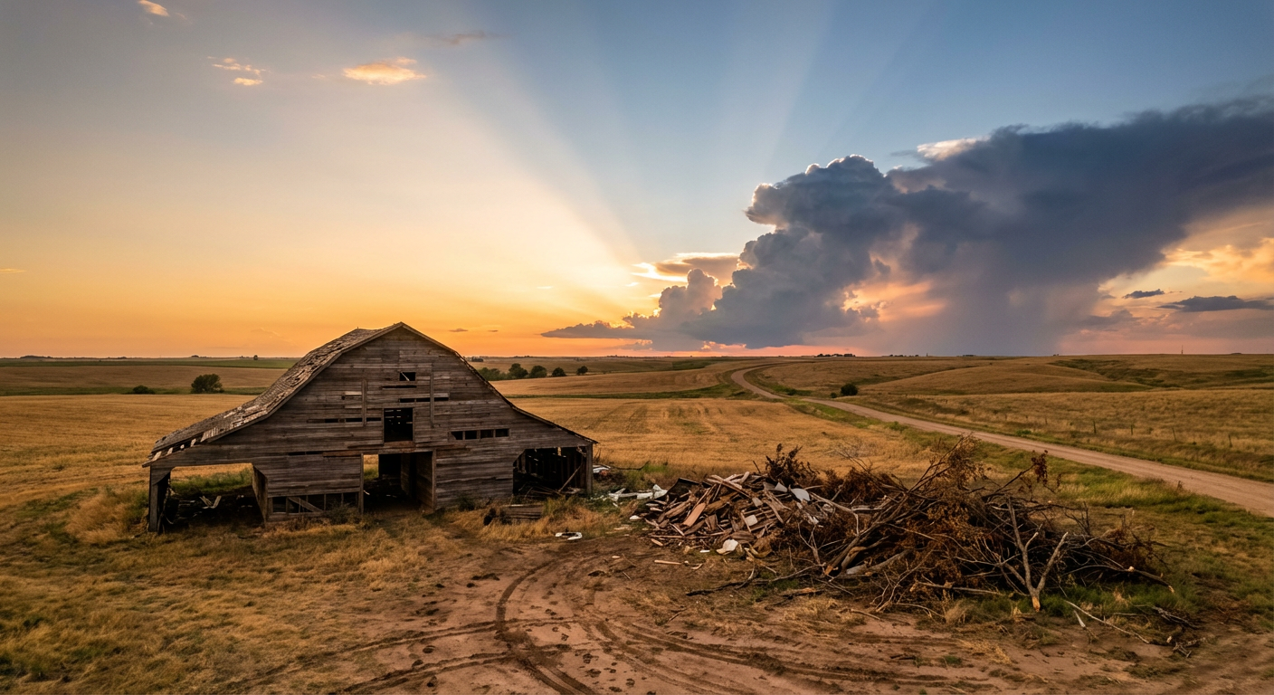
The Threat up North
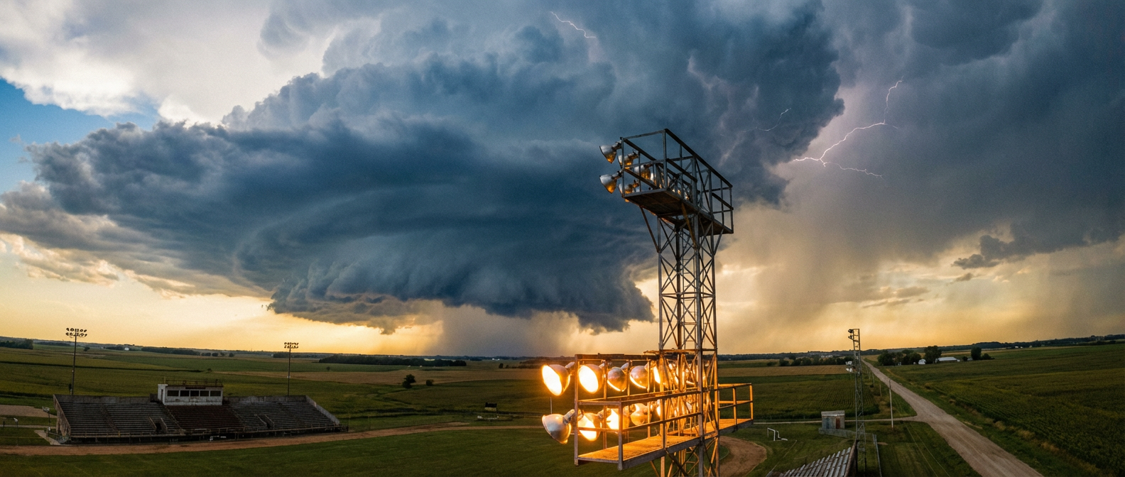
The Storm Prediction Center has highlighted the Lower Great Lakes for scattered damaging winds. We are looking at a 15 percent probability for wind gusts that could easily snap tree branches or cause some localized power outages. There is also a very low 2 percent probability for a quick tornado.
It is already a bit chilly for baseball. Detroit normally sees high temperatures around 59 degrees this time of year, with lows dropping into the upper 30s. Throw in a severe thunderstorm, and that bleacher seat is going to get uncomfortable fast. Grab a poncho and know where the concourse shelters are.
Water Woes in the South
Down south, the threat shifts from wind to water. The Weather Prediction Center has issued a Slight Risk for excessive rainfall over the ArkLaTex region and the Lower Mississippi Valley.
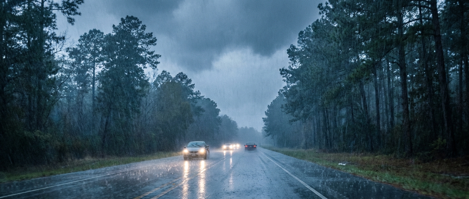
A cold front is stalling out right over northeast Texas. When a front parks itself like that, it acts like a set of train tracks for heavy rain. Storms will just keep rolling over the same areas. If you are driving on I-20 or I-30 tonight, watch out for water pooling on the road. It only takes a few inches of moving water to cause major problems for your vehicle.
Oklahoma City Recovery
Before I sign off, I want to talk about Oklahoma City. Yesterday was absolutely brutal. We saw over a dozen spin-up tornadoes and winds hitting 100 mph across the metro.
Today, neighbors are out there with chainsaws clearing trees. Utility crews are working around the clock to get the lights back on. That is the spirit of the Plains. People show up for each other when the sky clears. If you are in those recovery zones, the good news is the severe threat has moved east. You have a quiet, dry window to clean up and catch your breath.
Enjoy the baseball games tonight and keep your phones charged if you live in those risk areas. We will be right here watching the radar.
https://ryanhallyall.com/blog/artemis-baseball-and-a-lingering-severe-threat