Blog Article
Arthur Brings Major Flood Threat to Southeast & Midwest
Post-Tropical Cyclone Arthur brings a Moderate Risk of excessive rainfall to the Southeast, while the Midwest and East Coast face severe weather threats.
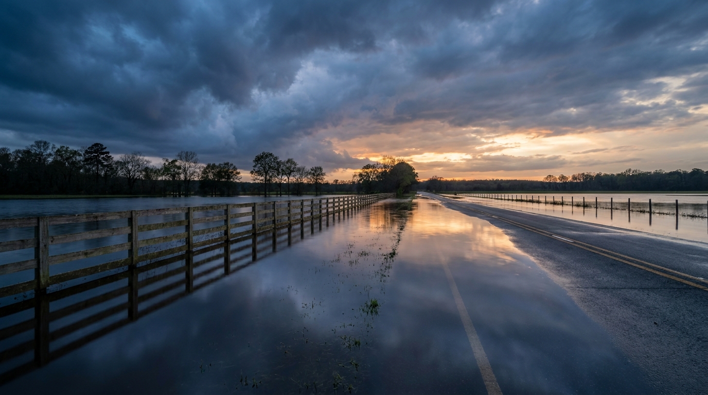
Y'all, yesterday was a day for the record books. We saw a hurricane-force 94 mph wind gust at a weather station in Iowa. We had PDS tornado warnings in Illinois. And we watched Tropical Storm Arthur make landfall in Texas.
Today, the map looks a little different, but the impacts are just as serious. Arthur is officially a post-tropical low now. The winds have dropped to 35 mph. But here is the thing. The water does not care what we call the storm.
The Fire-Hose Over the Southeast
Arthur is slowly crawling northeast at 9 mph. As it moves, it is pulling a massive plume of Gulf moisture right over the Deep South. The Weather Prediction Center has a Moderate Risk for excessive rainfall posted today for the Mississippi Delta.
Tomorrow, that Moderate Risk shifts east and expands. It covers a huge chunk of the Southeast, including the Atlanta metro area. We are talking about the potential for 2 to 3 inch hourly rainfall rates. If you live in Mobile, New Orleans, or Birmingham, you need to watch the roads closely.
This setup is going to cause major headaches for travelers. Flights through Atlanta and Charlotte are going to face cascading delays. If you are heading to the Braves game tonight or tomorrow, pack the rain gear and leave early. The roads are going to be a mess.
Saturated Ground in the Midwest
The Midwest is still trying to clean up from yesterday's destructive squall line. Now, they have to deal with the water. There is a separate Moderate Risk for excessive rainfall today across parts of Illinois and Indiana. The ground up there is completely saturated. It will not take much rain to cause flash flooding.
That same storm system is pushing its severe threat toward the East Coast today. The Storm Prediction Center has a Slight Risk covering a huge population zone from Kentucky up through the Mid-Atlantic and into the Northeast.
The main threat is damaging wind gusts. We also have a 5 percent probability for a few isolated tornadoes stretching from upstate New York into New England. If you are heading out to the U.S. Open in Southampton or catching the Yankees game in the Bronx tonight, keep a close eye on the sky.
A Quiet Sun
On the space weather front, things are incredibly quiet. The solar radio flux is holding steady, and the Space Weather Prediction Center does not expect any geomagnetic storms over the next few days. It is a nice break from the massive aurora events we saw earlier this month.
The Bottom Line
The name of the game today is water. Do not drive your car into a flooded roadway. It is the number one way people get hurt in these tropical remnant setups. If you live in the Northeast, have your weather radio on and your phone charged. That severe threat will peak this afternoon and evening.
https://ryanhallyall.com/blog/arthur-loses-his-name-but-keeps-the-water