Blog Article
Severe Storms Meet Baseball Night: Tonight's Weather Explained
A slight risk of severe storms is overlapping with tonight's MLB slate in the Ohio Valley, while a heat dome builds in the West. Here's what it means.

Ballgame Weather: Why Tonight's MLB Slate Is Getting Watched By More Than Just Fans
Alright folks, let's talk about tonight. There's baseball everywhere right now. Mets and Marlins in Queens. Pirates and Reds in Cincinnati. Phillies and Orioles in Baltimore. Braves hosting the Nationals in Atlanta. That's a good, full slate on a Saturday night in August. Get this, though. A chunk of those parks sit inside the same zone the Storm Prediction Center has under a slight risk for severe weather tonight.
And if you've been anywhere near a search bar this evening, you've probably seen "tornado Indianapolis" trending with over 5,000 searches. That's not a coincidence. That's the same system.
What's actually happening in the sky tonight
SPC's Day 1 outlook has a slight risk stretched across the Ohio and Tennessee Valleys. Louisville, Lexington, Cincinnati, Huntsville, Chattanooga. Nearly 10 million people sit under that zone tonight. A broader marginal risk fans out further, touching Columbus, Indianapolis, and Nashville, which explains why Indy is showing up in warnings and searches right now even though it's technically in the lower-end category.
Here's what the numbers mean in plain talk. There's a 15 percent chance of scattered damaging wind gusts, the kind that can snap tree limbs and rattle a tarp crew. There's a 2 percent chance of an isolated tornado, which SPC calls a Level 1 threat. That's low-end, but it's not zero, and it's exactly the kind of setup that produces a quick spin-up warning with almost no lead time. That's likely what triggered the Indianapolis search spike tonight. Radar sees a cell organizing fast, a warning drops, and suddenly a county the size of a small state is checking their phones at the same time.
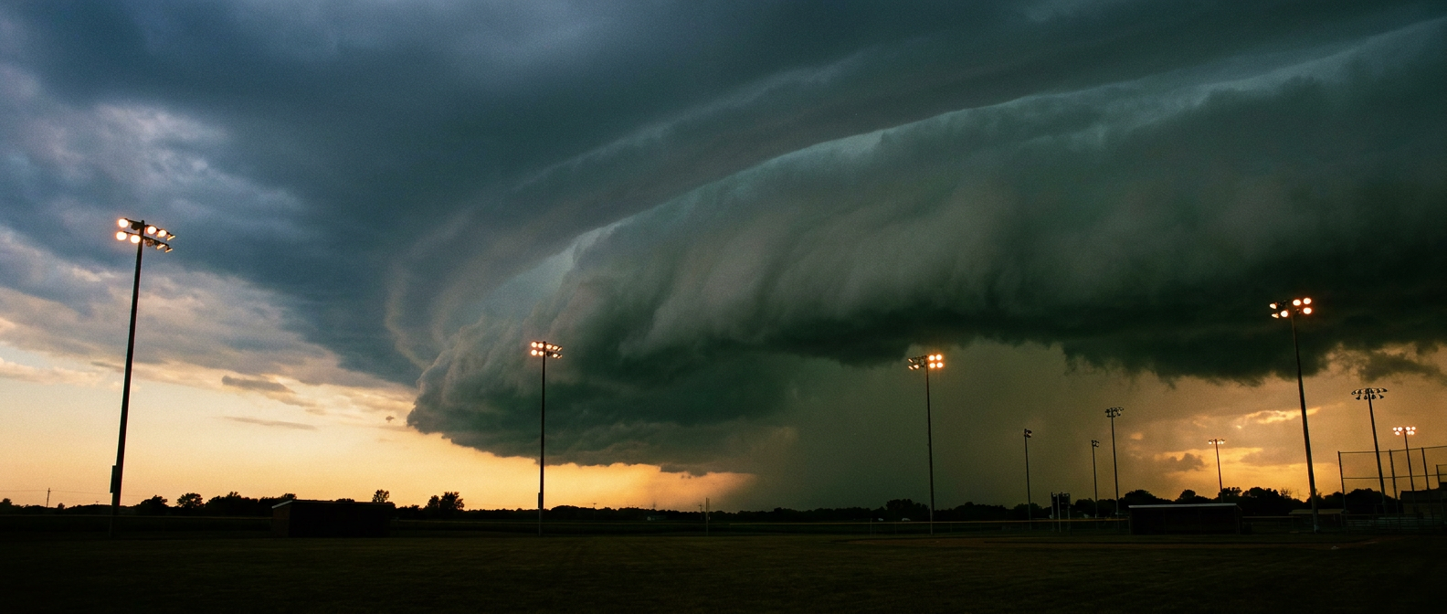
For the ballparks sitting closer to the core of that risk, mainly Cincinnati, this is where fans should expect the tarp to come out if a line fires up during the game. It's not a guarantee. It's a game of watching the sky and the app at the same time, same as it's been for the Reds and Pirates faithful all summer.
This is week five of the same pattern
If tonight feels familiar, that's because it is. Last night's system dropped 70 mph gusts in Nebraska and 77 mph gusts near Hereford, Texas. Overnight, spotters caught four separate funnel cloud reports around Cedar Rapids and Vinton, Iowa. Go back further and this has basically been the story of July. Training storms, repeated flash flooding, a tropical storm landfall on the Gulf Coast, and a steady parade of severe wind reports from the Plains into the Ohio Valley. Tonight's slight risk isn't an outlier. It's the pattern doing what it's done all month, just with a baseball schedule laid on top of it.
Meanwhile, out West, a different story is building
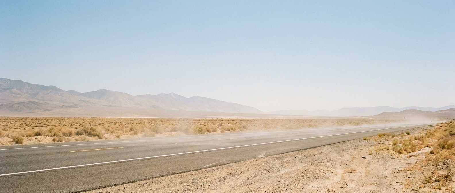
While the East deals with pop-up storms, the trending search "WTHR weather" is pointing at something else entirely: a heat dome getting ready to deliver the summer's hottest stretch across the western US. Salt Lake City's average August high sits at 91°F. Once this ridge locks in over the Four Corners later this week, expect numbers running well above that mark, with the AI outlook flagging heat-index exclusions climbing from 14 percent of monitored points on Day 4 to 29 percent by Day 7. That same ridge is also why the Northern Rockies, Idaho, Montana, and northern Utah remain under a critical fire weather designation into Sunday. If you've got plans near Sturgis, South Dakota, for the motorcycle rally kicking off next week, keep an eye on both the heat and the smoke. That ridge axis sits close enough to matter.
The takeaway
Two different weather stories are sharing the same night. In the Ohio and Tennessee Valleys, it's about watching for that quick-hitting cell that can trigger a tornado warning with barely any notice, the same kind that just sent Indianapolis trending. Out West, it's about a slow, building heat dome that'll turn next week into a different kind of test, this one for anyone camping, riding, or working outside. If you're at a ballgame tonight in Cincinnati or Louisville, keep half an eye on the sky between innings. If you're headed toward the Rockies or the Dakotas next week, keep half an eye on the thermometer instead.