Blog Article
Weekend Weather: Severe Storms, Fire Risk, and MLB Impacts
A massive spring storm system is bringing severe weather to the Ohio Valley, critical fire danger to Nebraska, and late-season snow to the Rockies this weekend.
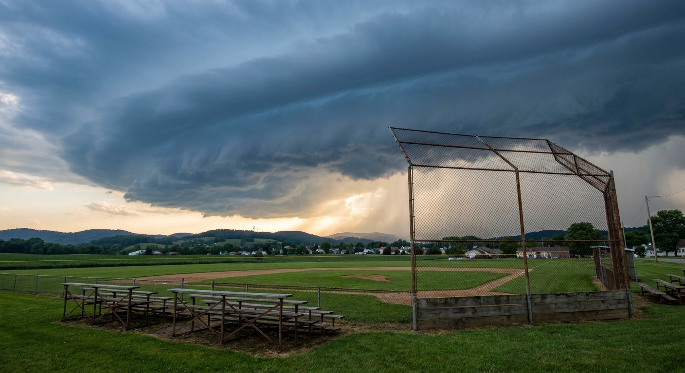
Get this, y'all. Look at what people are searching for online right now. It is all about baseball. "Braves vs Phillies" and "Rays vs Pirates" are lighting up the internet. It is mid-April. We are all ready to sit in the bleachers with a hot dog and soak up some sun. But that massive storm system we tracked through the Midwest today is moving east, and it is throwing a serious curveball at our weekend plans.
The Ohio Valley Curveball
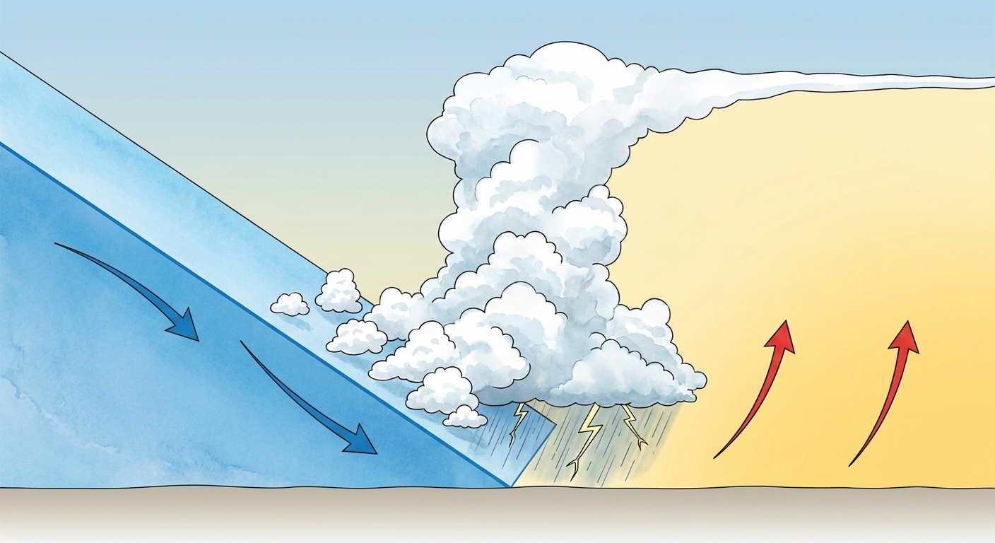
Tomorrow, that powerful cold front pushes into the Upper Ohio Valley and the Central Appalachians. The Storm Prediction Center has a Slight Risk for severe storms right over cities like Pittsburgh, Columbus, and Cleveland. That is a level 2 out of 5 on the severe scale.
If you have tickets to see the Pirates host the Rays tomorrow evening at PNC Park, you need to pay attention. We are looking at scattered thunderstorms capable of producing damaging winds and hail. The air out ahead of this front is actively pulling up moisture, pushing dewpoints into the upper 50s and lower 60s. When that cold air crashes into the warm air, the atmosphere has to vent that energy.
Make sure you know where the stadium concourse is if the winds pick up. Those storms will be moving fast.
Fire, Ice, and Texas Food
Behind that front, the weather completely flips. Out in Colorado, folks heading to the Rocky Mountain RepRap Festival in Loveland are dealing with winter's revenge. We have banded snow falling along the Front Range tonight. Denver usually sees high temperatures in the low 60s this time of year, but they are shivering through a late-season freeze.
Further east in Nebraska, the concern is not storms or snow. It is fire.
The Storm Prediction Center has outlined a Critical fire weather area for western and central Nebraska on Saturday. The air behind this front is bone dry. Humidity levels will drop between 15 and 20 percent. Combine that with west-northwest winds sustained at 20 to 25 mph, and you have a recipe for fast-moving wildfires.
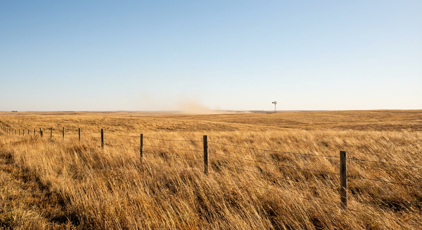
A single spark from a dragging trailer chain or a tossed cigarette can start a massive problem in those dry grasses. If you live in Kearney or North Platte, hold off on any outdoor burning this weekend.
Down south in Dallas, the FoodieLand festival is kicking off. The severe threat is mostly clearing out of North Texas tonight. Dallas usually sits right around 77 degrees in mid-April. Behind this front, they will get some breezy, cooler air. It will actually turn into a pretty decent weekend to walk around and eat outside once the initial rain clears out.
Spring weather doesn't care about your weekend plans. It is a season of transition, and right now, the atmosphere is working overtime to balance out the cold air up north and the warm air down south. Keep your radar app handy, grab a jacket, and enjoy the games where you can.
https://ryanhallyall.com/blog/baseball-barbecues-and-busted-forecasts-the-weekend-weather-whiplash