Blog Article
May Weather Extremes: 4-Inch Hail, Floods & Wind Threats
While baseball fans enjoy perfect weather in Baltimore, the rest of the US faces extreme weather, including 4-inch hail in Texas and flooding in Louisiana.
Baseball, Busted Windshields, and a Bipolar May Atmosphere
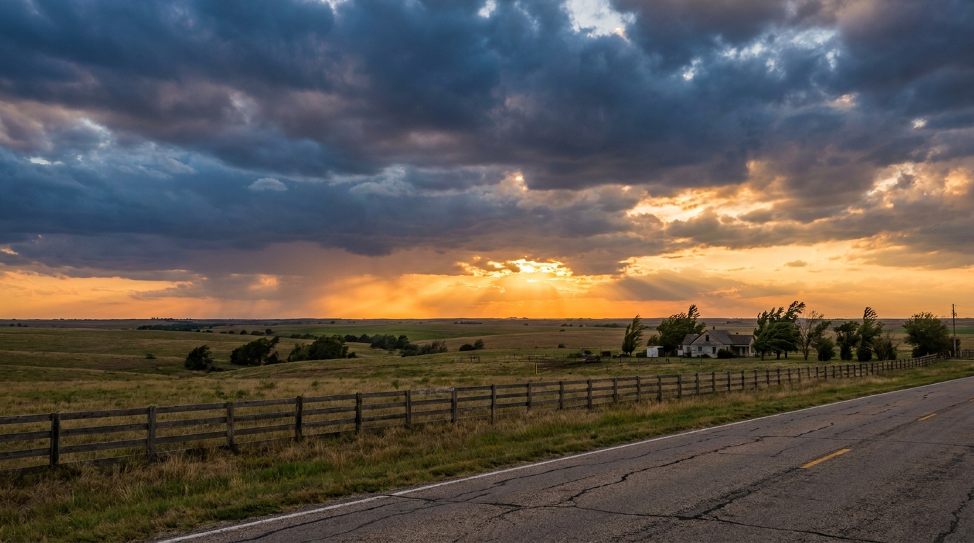
Alright folks, if you are anywhere near a TV tonight, there is a good chance you are tuned into the Yankees and Orioles game. It is one of the biggest matchups of the early baseball season, and the weather in Baltimore is giving them a picture-perfect night for it. But do not let those clear skies on the broadcast fool you. If you zoom out and look at the national map, the atmosphere is throwing some serious curveballs.
We are seeing a weather pattern right now that feels like it has a split personality. Just look at what has happened across the country over the last few days:
- Colorado: A late-season winter storm dumped over 33 inches of snow at Bear Lake.
- The Northeast: A massive freeze event prompted alerts for over 76 million people.
- Texas: Severe supercells dropped grapefruit-sized hail and produced 75 mph wind gusts.
The Texas Ice Delivery
Get this, y'all. Yesterday, while parts of the country were dealing with that late-season freeze, folks in Central Texas were scrambling for cover. We saw confirmed reports of grapefruit-sized hail, measuring four inches across, near Cranfills Gap, Texas.

Think about that for a second. Hail that size is not just going to leave a little ding on your hood. That is the kind of ice that shatters windshields, destroys roofs, and makes for a very expensive phone call to your insurance company. The energy in the atmosphere over the Southern Plains has been absolutely relentless lately.
Waterlogged in Louisiana
While Texas was dealing with the ice, Louisiana has been dealing with the water.
Right now, there is a Slight Risk for excessive rainfall along the I-10 corridor in Louisiana. We have a cluster of storms, what meteorologists call a mesoscale convective system, drifting just off the coast. The problem is that the ground down there is already saturated. We saw flash flooding in places like Lafayette and Rayne over the weekend, with cars stalled out in underpasses.
When you have soils that cannot take another drop, it does not take much extra rain to cause problems. If you are driving I-10 tonight between Baton Rouge and Lake Charles, you need to take it slow. Puddles can turn into ponds really fast in the dark.
Tomorrow's Midwest Wind Threat
As we look toward Tuesday, the severe threat shifts north. We have a Marginal Risk for severe thunderstorms stretching from southeast Kansas all the way up into southern Wisconsin.
This includes major hubs like Chicago and Milwaukee. The big story here is not necessarily giant hail, but the wind. The National Weather Service in Chicago is calling for a very windy day, with south-southwest gusts peaking near 40 mph ahead of an approaching cold front.
Normally, Chicago sees high temperatures right around 70 degrees this time of year. Tomorrow, that strong southerly wind is going to pump in some warmer air, but it is also going to make driving a high-profile vehicle on I-90 a real chore. If you are commuting home tomorrow afternoon, keep two hands on the wheel. Isolated severe storms could pop up and bring even stronger, localized gusts.
We are in that classic spring transition period where the weather just cannot make up its mind. Enjoy the baseball game tonight if you are watching, but keep an eye on the sky if you live in the nation's midsection.
https://ryanhallyall.com/blog/baseball-busted-windshields-and-a-bipolar-may-atmosphere