Blog Article
Midwest Tornado Threat & Winter Storm Impacts for April 2
A massive storm system is bringing an Enhanced Risk for tornadoes to the Midwest and a significant icing event to the Great Lakes. Read the full forecast.
Baseball, Cold Fronts, and a Serious Midwest Tornado Threat
Baseball is officially back, y'all. I see a ton of you searching online for where to watch the Mets play the Cardinals in St. Louis tonight. The Twins and Royals are playing in Kansas City, and the Cubs are back in Chicago tomorrow. It is a great time of year. But spring weather in the Midwest and Plains does not care about your tickets or your television schedule.
The same massive storm system bringing rain to the baseball diamond is bringing a very serious threat to a huge chunk of the country over the next 48 hours.
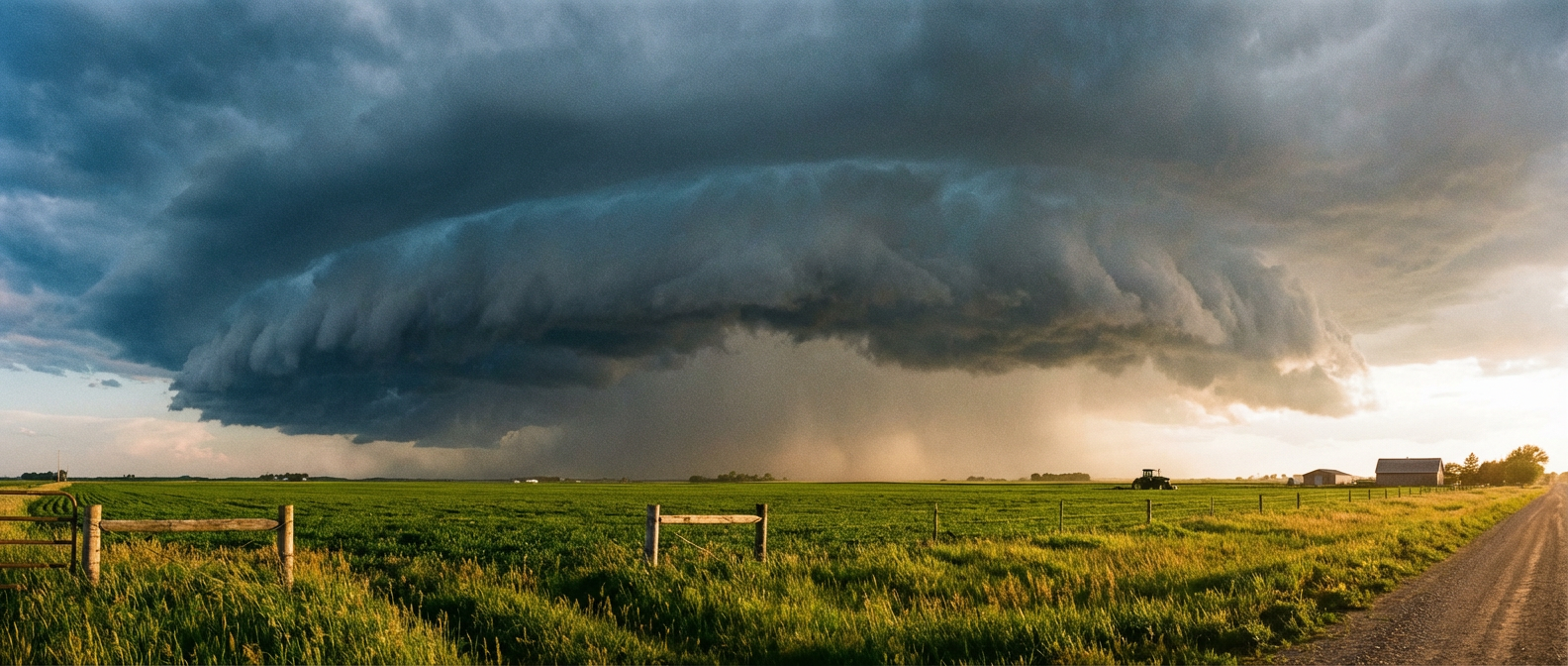
The Southern Plains Threat Today
Down in the Southern Plains today, we have an Enhanced Risk for severe storms across Oklahoma, Kansas, and western North Texas. Places like Oklahoma City and Wichita Falls need to be on alert for large hail and damaging winds this evening. The Storm Prediction Center is also watching a tornado threat in this area.
If you live in the southern Plains, have your weather radio on tonight. But tomorrow is when this system really gets organized up north.
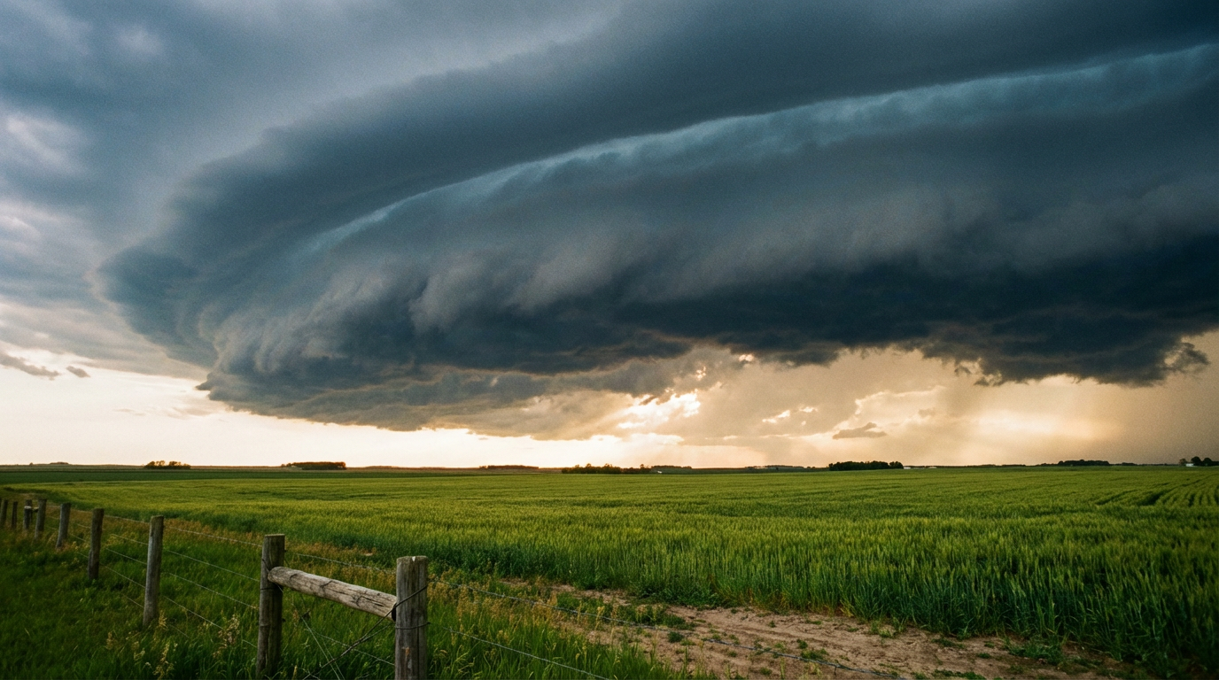
Tomorrow's Midwest Tornado Risk
Tomorrow, the Storm Prediction Center has outlined an Enhanced Risk for eastern Iowa, northern and central Illinois, and southern Wisconsin. This includes cities like Madison, Aurora, Rockford, and Joliet.
Here is the thing about tomorrow. A deep surface low is going to lift from Kansas City right toward La Crosse, Wisconsin. The environment is uniquely favorable for strong, long-track tornadoes. The prime window for this is between 4 PM and 9 PM CDT, particularly right along the I-39 corridor in Illinois and Wisconsin.
If you live in this Enhanced Risk area, you need a solid plan in place before you go to sleep tonight. Know exactly where your safe room is and make sure your phones are charged.
The Cold Side of the Storm
While the warm sector brings the severe threat, the cold side of this system is dropping a completely different kind of hazard. A major winter storm is brewing up north.
- Heavy, late-season snow is going to push across the Dakotas and northern Minnesota. We are expecting accumulations to exceed 4 inches in many spots.
- Just south of that snow band, a significant freezing rain and icing event is setting up. This will stretch from southern Minnesota right through central Wisconsin and northern Michigan.
Ice accumulations are going to snap tree branches and take down power lines. If you are in the path of this freezing rain, prepare for potential power outages.
We are in that classic early April clash of seasons. The normal high in Chicago right now is 59 degrees. Tomorrow's system is going to drag a ton of warm, unstable air right up into the Great Lakes before closing the door with winter on the back end. Have multiple ways to get warnings tomorrow.
https://ryanhallyall.com/blog/baseball-cold-fronts-and-a-serious-midwest-tornado-threat