Blog Article
Midwest Severe Weather Shift: Chicago & St. Louis Threats
Severe storms shift from the Plains to the Midwest on Monday, bringing high winds, tornadoes, and flood risks to Chicago and St. Louis evening commutes.
Baseball, Commutes, and a Major Midwest Weather Shift
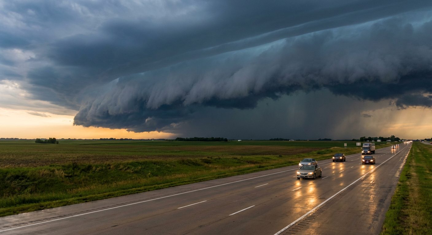
Get this, y'all. The Los Angeles Angels are flying into Chicago tomorrow for a Monday night matchup against the White Sox. If you have tickets to Guaranteed Rate Field, you need to pay very close attention to the forecast. The severe weather system that is currently dropping large hail across the Plains is packing its bags and heading straight for the Midwest. We are looking at a serious setup for Monday afternoon and evening that will impact a lot more than just baseball games.
The Monday Midwest Shift
The Storm Prediction Center has outlined an Enhanced Risk, which is a level 3 out of 5, for severe thunderstorms tomorrow. This covers a huge chunk of real estate including Chicago, St. Louis, and western Indiana.
Normally in late April, Chicago is sitting pretty with high temperatures around 59 degrees. Tomorrow, a potent weather system is going to pull a massive amount of deep Gulf moisture north. That moisture is going to fuel widespread strong to severe thunderstorms from the middle Mississippi Valley into the lower Ohio Valley.
The main concern here is widespread damaging winds. The data shows a 45 percent probability for severe wind gusts in this corridor. We are also tracking a 10 percent hatched risk for tornadoes. That hatched area means conditions support the potential for a few strong tornadoes.
Heavy rain is also a major factor. The Weather Prediction Center has a Slight Risk for excessive rainfall over Illinois and Indiana. The atmosphere is holding near 1.5 inches of precipitable water, which is extremely high for this time of year. Urban flash flooding is a real possibility for the Monday evening commute in Chicago, St. Louis, and Indianapolis.
Tonight in the Plains
Before that system moves east, it has to finish its business tonight. We currently have an Enhanced Risk over central and eastern Kansas into western Missouri.
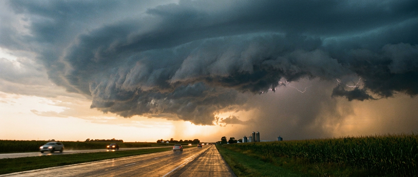
If you live near Kansas City, Wichita, or Topeka, the threat is active right now. Scattered severe thunderstorms are developing and they are bringing a very specific set of hazards. The environment is primed for very large hail. We are talking about hailstones 2 to 3 inches in diameter. That is large enough to total a car or destroy a roof.
The tornado threat is also elevated tonight as the low-level jet strengthens. The storms are expected to organize into a line as they push toward the Lower Missouri Valley overnight, transitioning the main risk from giant hail to damaging straight-line winds.
The Dry Side of the System
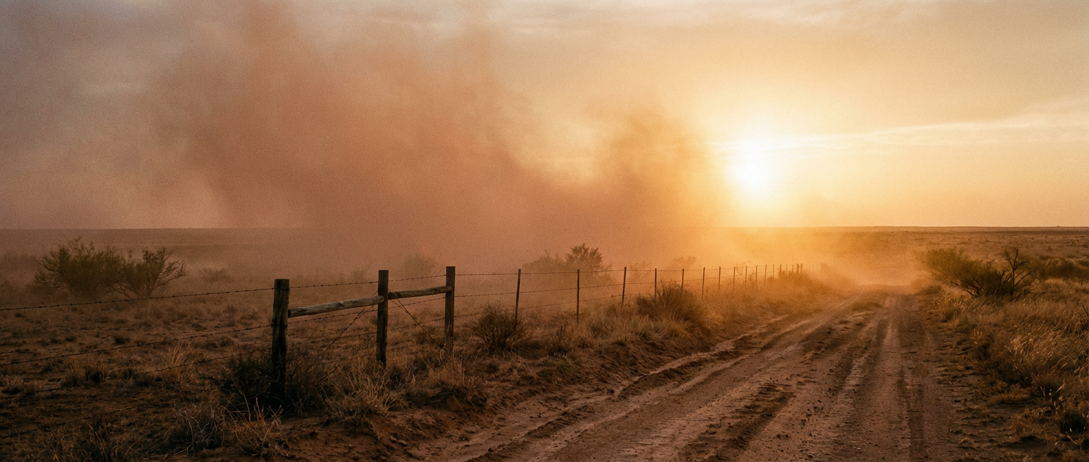
While the Midwest deals with too much moisture, the backside of this system is creating a completely different hazard. We have an Extremely Critical fire weather area today for eastern New Mexico and the far western Texas Panhandle.
Places like Clovis and Tucumcari are seeing strong mid-level winds mixing down to the surface. When you combine wind gusts over 50 mph with bone-dry vegetation and dropping humidity, any spark will start a fire that is nearly impossible to control. The Storm Prediction Center rarely issues an Extreme risk for fire weather. When they do, it means the data is showing a highly volatile environment.
The transition from Sunday to Monday is going to be bumpy for a large portion of the country. If you are in the Midwest, treat Monday evening with respect. Have multiple ways to receive warnings, especially if you are commuting or trying to catch an outdoor game. The data points to a highly active afternoon.
https://ryanhallyall.com/blog/baseball-commutes-and-a-major-midwest-weather-shift