Blog Article
Severe Storms Threaten MLB Games as Bertha Nears Gulf Coast
An Enhanced Risk of severe storms covers Philly, D.C. and Baltimore tonight as MLB games play on, while Tropical Storm Bertha closes in on New Orleans.
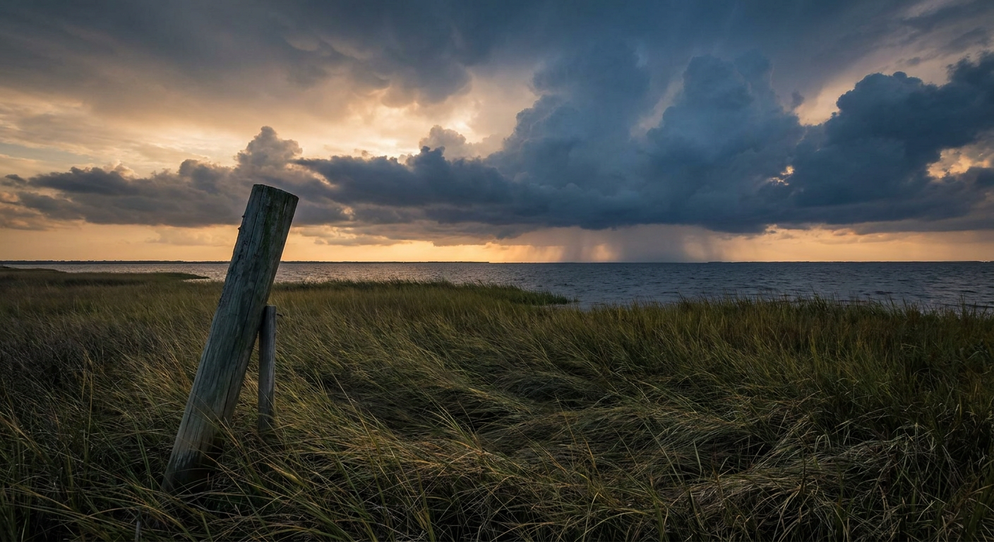
Baseball's Big Night Runs Straight Into an Enhanced Risk, and Bertha's Closing In on the Gulf
Alright folks, if you've got a baseball game on tonight, and let's be honest, most of the country does, you need to know something before first pitch. Nine games are going tonight, the Red Sox are riding a 14-game win streak that's got the whole internet talking, and the Phillies are hosting the Dodgers in what should be one of the marquee matchups of the week. But weather's about to be the other story in a few of these ballparks, and it's not a small one.
Enhanced Risk, right over Philly and D.C.
The Storm Prediction Center has an Enhanced Risk, that's Level 3 out of 5, painted right over Philadelphia, Washington D.C., Baltimore, Louisville, and Lexington tonight. We're talking about 34 million people under that zone. Extend it out to the Slight Risk ring and you pick up New York, Columbus, Nashville, and Raleigh too, another 51.7 million folks.
Here's the number that jumps out at me. SPC has damaging wind probabilities up at 45 percent, Level 4, for widespread 60 mph plus gusts if these storms get going as expected. That's the kind of number that makes broadcasters use words like derecho. And speaking of that, our analog data flagged the June 29, 2012 derecho as the historical comparison for this exact corridor, though nobody's saying tonight will hit that level. It's just the kind of setup where a line of storms can go from ordinary to a wind machine in a hurry.
So what does that mean for the Phillies-Dodgers game at 6:40 PM Eastern? It means fans in Citizens Bank Park should keep half an eye on the sky, not the scoreboard, especially as the evening wears on. The Pirates-Yankees game in the Bronx at 7:05 sits in that Slight Risk band, lower odds but not zero. Boston's hosting Baltimore tonight too, and that one's in the Marginal zone, the lowest tier, so Red Sox fans chasing win number 15 have the better weather draw of the night.
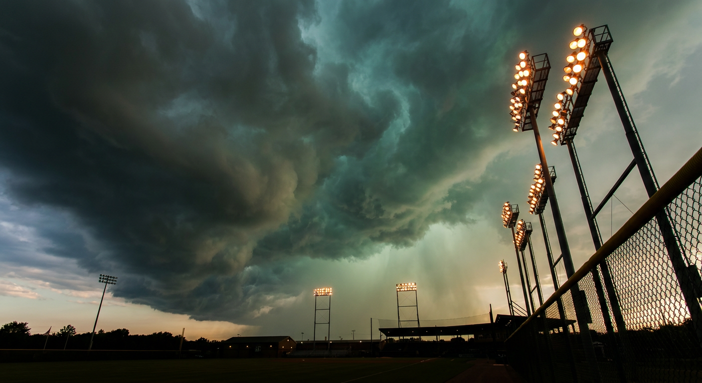
The tornado numbers are lower, 5 percent, Level 2, a few tornadoes possible, mostly tied to that same line as it organizes through the evening. Hail's in the mix too, up to quarter size in spots. None of this means the games get called. It means stadium staff will be watching radar closely, and if you're headed out to a ballpark in that corridor tonight, know where the concourse is.
Meanwhile, on the Gulf Coast, Bertha's not waiting around
While the Northeast deals with severe storms tonight, Tropical Storm Bertha is doing its own thing about 105 miles south-southeast of Mobile, Alabama, grinding toward the Louisiana coast. Sustained winds are 58 mph, and the storm's been fighting strong northerly shear that's kept it lopsided, most of the rain and wind pushed off to its south side. Recon flights have been in and out of it all day, and the latest fix from this evening still had it around 52 mph.
Landfall is lining up near New Orleans by Wednesday evening, roughly 20 to 21 hours out as of tonight. Houma and Morgan City, Louisiana are inside the tightest threat window, with tropical storm conditions already spreading westward along the Florida Panhandle coast and watches now extended along the Louisiana coastline too. If you've got Gulf Coast travel plans this week, beach trips, fishing charters, anything outdoors from Mobile Bay to New Orleans, tomorrow's the day those plans need a rain check built in.
This isn't Bertha's first appearance this week either. She started as a tropical depression Monday, the same day that Midwest MCS was dropping baseball sized hail on Iowa and spinning up tornadoes near Kamrar. The Gulf has been busy, and now the storm's finishing what it started.
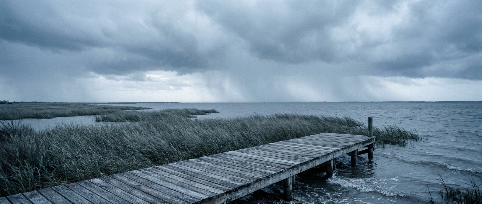
And behind Bertha, a flooding threat for the Carolinas
Here's where the two stories link up. As Bertha's remnant moisture gets wrung out over the Southeast, WPC has already bumped the Virginia and North Carolina Tidewater region to a Moderate Risk of excessive rainfall for both Wednesday and Thursday. That's the second-highest tier WPC issues. We're talking storms training over the same ground along a stalled front, with 2 to 4 inches or more possible and rain rates over an inch and a half per hour at times. Our analog data pulled up the July 19, 2023 EF3 tornado in eastern North Carolina as a reminder that this corridor doesn't just flood, it can spin up too.
If you live anywhere from Norfolk to the Outer Banks, this is worth watching closer than tonight's ballgames. Flash flooding doesn't need a hurricane to make headlines of its own, and moisture riding north off a weakening tropical system is exactly the kind of setup that's produced real trouble in the Carolinas before.
The takeaway
Tonight's about two different kinds of weather doing two different jobs. In the Northeast, it's fast and violent, a line of storms capable of derecho-style wind gusts crashing right into a night full of baseball. On the Gulf Coast, it's slower and wetter, a tropical storm closing in on New Orleans that'll leave its fingerprints on Carolina rainfall gauges two days from now. Different speeds, same message: check the sky before you check the box score.