Blog Article
MLB Trades Meet Storm Risk: East Coast Weather Tonight
Baseball's trade deadline buzz collides with a marginal severe risk over Baltimore and Philly tonight, plus a soggy setup for NYC's Tri-State area Monday.
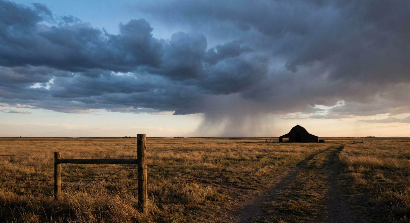
Baseball's Trading Frenzy Meets a Restless Sky Over the East Coast
Alright folks, baseball fans are having a moment today. Camilo Doval is a Pirate now. Giancarlo Stanton's making news in the Bronx. Yordan Alvarez just walked it off in Houston. Everybody's talking trades, walk-offs, and who's getting DFA'd.
Here's the thing though. While the front office types were making moves this afternoon, the atmosphere over the East Coast was quietly making its own.
Tonight's Ballgames Sit Right Under a Marginal Risk
Phillies at Orioles in Baltimore. That game's first pitch fell right inside a Marginal Risk zone from the Storm Prediction Center, covering Philadelphia, Charlotte, DC, Baltimore, and even Tucson, Arizona, out west. We're talking about 52 million people under that outlook tonight.
Don't let the word "Marginal" fool you into thinking nothing happens. It means scattered strong to locally severe storms are possible, not guaranteed everywhere, but real where they fire. SPC's own discussion calls out the lower Great Lakes into the upper Ohio Valley and the middle-to-southern Atlantic Piedmont as the spots to watch this evening. Damaging wind is the headline hazard. There's even a low-end, 2 percent chance of an isolated tornado mixed in.
For context on the numbers: that 2 percent tornado probability and 5 percent wind probability are just that, probabilities of what could happen if storms fire in a given spot, not wind speeds or temperatures. If a storm does organize near Camden Yards or Citizens Bank Park, the primary worry is a gust front that can knock over signage or send folks scrambling from the concourse, not a tornado outbreak.
The Bigger Story Is Monday, Not Tonight
Honestly, tonight's severe risk is the smaller half of this story. The bigger deal is what's setting up for Monday across the Tri-State area. New York, New Jersey, and Connecticut are sitting under a Slight Risk of excessive rainfall, and the ground up there is already tapped out. We're coming off a week where Niskayuna, New York picked up 7.68 inches of rain, and the broader Northeast has been dealing with training thunderstorms for days now.
WPC's forecast discussion is blunt about it: soils are "extremely vulnerable" and another round of 3 to 5 inches is possible where storms train over the same spots. Precipitable water values in the 1.8 to 2.2 inch range mean the atmosphere is loaded with moisture ready to wring out.
Which brings us to tonight's other headline. "Parking Friends! The Musical Parody" opens in New York City this evening. There is something almost too perfect about a comedy show built around the misery of parking your car in Manhattan debuting the same week the ground under that city can't absorb another drop. If you're headed to a Broadway-adjacent show tonight or Monday, budget extra time. Flooded intersections and stalled traffic have been a recurring theme up and down the East Coast this week, from Columbia, South Carolina to Danville, Illinois, and NYC's storm drains aren't going to get a pass just because the skies look calm between rounds.
A Pattern That's Been Building All Week
This isn't coming out of nowhere. Go back through the last several days and you'll see the same story on repeat: organized storm clusters moving across the Midwest and into the Ohio Valley, then the East Coast picking up the moisture and the flooding threat. Yesterday alone brought a multi-vortex tornado near Sunman, Indiana, 77 mph wind gusts in Texas, and flash flooding severe enough to strand vehicles in Columbia, South Carolina and Danville, Illinois. The Northern Plains get their turn Monday with a Slight Risk of severe storms stretching from Fargo into northwest Minnesota, where 15 percent probabilities of both damaging wind and large hail put places like Fargo, Alexandria, and Bemidji on alert.
Meanwhile, if you're a space weather nerd keeping half an eye on the sky for other reasons, NOAA's Space Weather Prediction Center says a CME that left the sun on July 30 is arriving today, with G1 to G2 storm levels likely. If clouds break up anywhere in the northern tier tonight, it's worth a glance upward for aurora, though with all this convection around, don't hold your breath.
What This Means for Your Week
- Tonight's ballgames in Baltimore and the Mid-Atlantic: keep an eye on the sky during the middle innings. A gust front, not a tornado, is the more likely disruption.
- New York, New Jersey, Connecticut through Monday: if you're driving, parking, or just trying to get to a show, plan for standing water on streets that have already taken on more rain than they can handle this week.
- Northern Plains Monday: Fargo and the Red River Valley take their turn under the Slight Risk umbrella.
Trades happen fast in baseball. Weather patterns take their time, but this one's been grinding through the same soggy East Coast setup for the better part of two weeks now. Watch the sky the same way you're watching the trade wire. Both are still moving.
https://ryanhallyall.com/blog/baseballs-trading-frenzy-meets-a-restless-sky-over-the-east-coast