Blog Article
Bentonville's Near-Perfect Festival Weather, Explained
Bentonville's All IN Festival scored near-perfect weather today while Tropical Storm Pena formed and a weekend geomagnetic storm stirs aurora buzz up north.
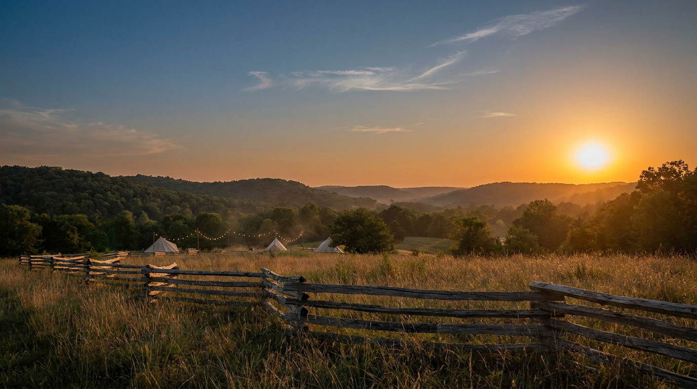
Bentonville Got the Best Weather Score in America Today, and the Tropics Didn't Take the Day Off
Alright folks, let's start with the good news. If you're one of the folks filing into the All IN Music & Arts Festival in Bentonville, Arkansas today, you picked a near-perfect day to do it. Our in-house nice weather outlook graded today's conditions across the country, and the pocket stretching from central Arkansas through southwestern Indiana and into north-central Arizona scored an 89.4 out of 100. That's just 2.6 points shy of a perfect score. Clearing skies, dry air, calm winds. The kind of November afternoon that makes you forget it's supposed to be sweater weather.
Here's the thing, though. That calm didn't come out of nowhere, and it's not universal. This has been an unusually active first week of November across the country, and today's quiet in Arkansas is sitting right next to some genuinely wild stuff happening elsewhere.
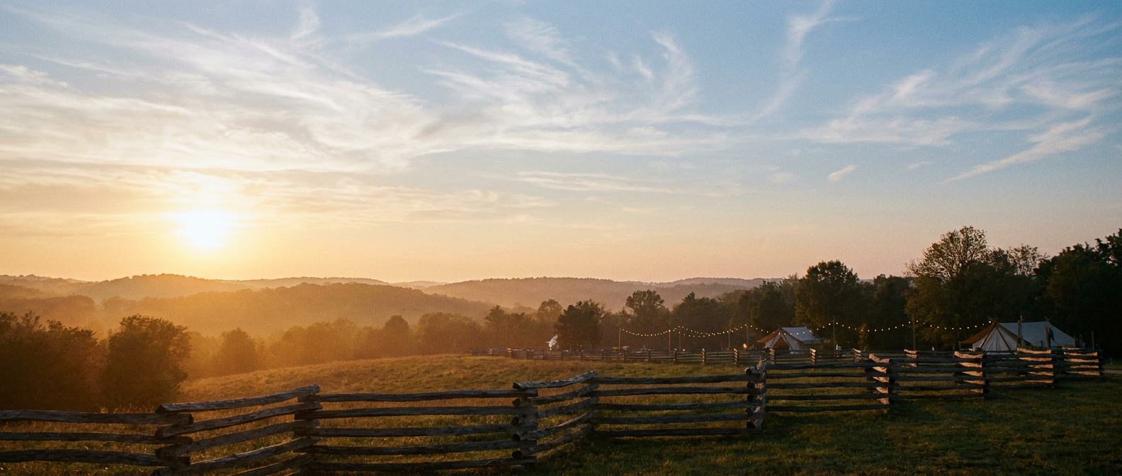
Why Today Scored So High
That cold front we've been tracking all week finally cleared the Mid-South, and it left behind exactly what you want for an outdoor festival: dry air, calm winds, and a clean sky. The nice weather tier covers a broad swath of the southern Plains, Tennessee Valley, and Southwest today too, though temperatures running on the cool side behind that front kept most of the country out of truly perfect territory. Still, if you're in that Arkansas-to-Arizona corridor today, you're living in the best weather the Lower 48 has to offer.
It's a nice exhale after the week we just had. Go back five days and you'll find Flash Flood Emergencies declared across Fannin and Gilmer counties in Georgia and Polk County in Tennessee, where the Toccoa River crested at a record 18.05 feet after some spots picked up more than 11 inches of rain in under six hours. Meanwhile, Southeast Alaska was getting hammered by non-thunderstorm wind gusts up to 111 mph near Metlakatla, downing trees and knocking out power in Ketchikan. So when we say today is calm, we mean it in contrast to a genuinely rough stretch.
Meanwhile, the Tropics Didn't Get the Memo
While festival-goers in Bentonville are catching blue skies, the National Hurricane Center issued its first advisory on Tropical Storm Pena early this afternoon, forming well southeast of the Hawaiian Islands in the Central Pacific. Sustained winds are running near 45 mph, and Pena is drifting west at about 12 mph. The good news: forecasters say it's no threat to land, staying well clear of Hawaii and Johnston Island.
There's also a non-tropical low a few hundred miles south of Bermuda (Invest 94AL) that we've been watching, but strong upper-level winds are cutting its odds of ever organizing into anything subtropical. Low concern there too.
The bigger near-term story for the Lower 48 is rain, not wind. The Weather Prediction Center has a Slight Risk of excessive rainfall tonight into Saturday morning across southeastern New England, where coastal Connecticut, Rhode Island, and eastern Massachusetts could see 2 to 3 inches with locally up to 5. Then the focus shifts south: by Sunday, the Texas Hill Country and San Antonio corridor carry their own Slight Risk, with widespread 2 to 4 inch totals and the kind of embedded, heavy-rate storms that turn low-water crossings dangerous fast. If you're in flood-prone parts of south-central Texas, that's one to watch heading into the weekend.
Aurora Chatter Up North
One more thing worth knowing about if you've seen aurora talk floating around online this week. NOAA's Space Weather Prediction Center says the geomagnetic field is likely to reach G1 (Minor) storm levels tonight through Saturday, with a chance of reaching G2 (Moderate), driven by a coronal hole high-speed stream hitting Earth's magnetic field. That's enough to push the aurora down into the northern tier of the US on a good night. It is not, to be clear, enough to put green ribbons over Arkansas or anywhere near the Gulf Coast. If you're up in the Dakotas, Minnesota, or the northern Great Lakes with clear skies tonight, it's worth a glance north after dark. Everybody else, this one's a watch-the-news story, not a watch-the-sky story.
The Takeaway
Weather doesn't pause for a festival, and it doesn't wait for the tropics to catch their breath either. Today just happened to line up so that the best air of the week settled right over a crowd of people standing in a field in Bentonville, while 2,500 miles away a brand new tropical storm spun to life and a solar wind stream got the aurora crowd checking their apps. That's November for you. Enjoy the clear sky while you've got it, because by Sunday the rain comes back for Texas, and the week after that, who knows.