Blog Article
Bertha Nears Texas Landfall as Flood Risk Grows in VA/NC
Tropical Storm Bertha closes in on the Texas coast today while a Moderate Risk for excessive rainfall targets Virginia and North Carolina. Full forecast breakdown.
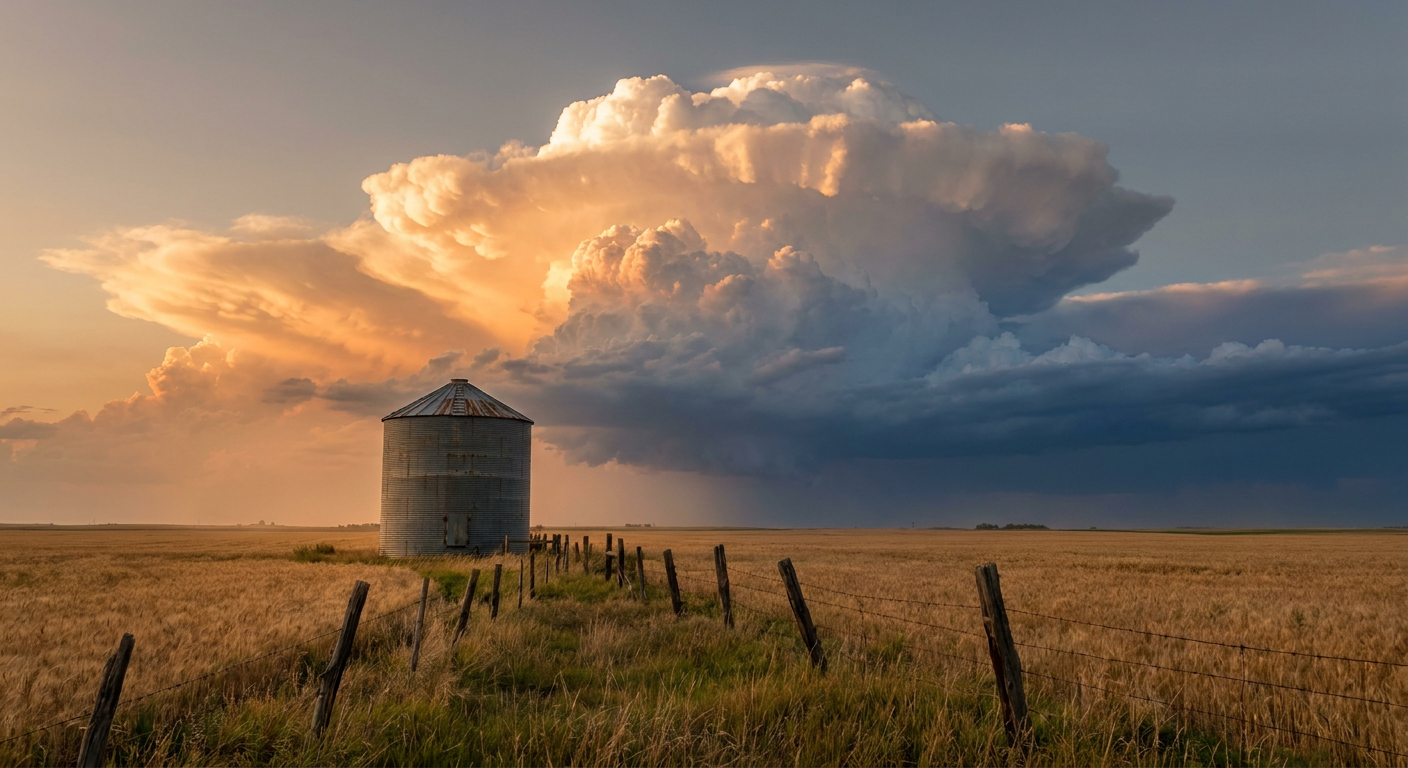
Bertha's Last Gasp Hits the Texas Coast While Virginia and the Carolinas Watch the Sky for More Rain
Alright y'all, let's start where the action is. Tropical Storm Bertha made landfall near New Orleans yesterday evening, and if you were anywhere from the Florida Panhandle to the upper Texas coast, you already know she didn't go quietly. Wind gusts topped 60 mph in spots along the Louisiana coast, and a utility site near Surfside Beach, Texas clocked a 67 mph gust overnight. Now Bertha is doing something a little unusual. Instead of falling apart right away, the center has re-formed offshore of southern Louisiana and the storm is tracking west, basically riding the coastline before making a second landfall today.
Bertha's Final Approach
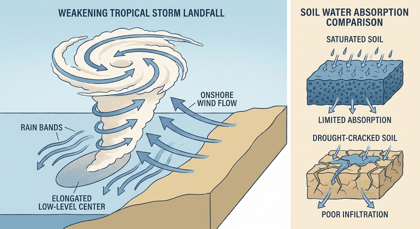
As of the 4 AM advisory, Bertha was sitting about 95 miles southeast of Lake Charles with max sustained winds of 45 mph, moving west at 13 mph. That track puts the center on a path toward the upper Texas coast, with landfall expected sometime this afternoon or evening, roughly 11 hours out from this morning's update. This isn't a powerhouse hurricane. It's a soggy, sprawling tropical storm, and honestly that's the more relevant threat than the wind. The heaviest convection is displaced to the southwest of the low-level center, which means places like Sabine Pass, Matagorda Bay, and Rockport need to watch the rain bands more than the eyewall, because there isn't one.
Here's the twist worth understanding. South Texas has been running less than 25% of normal rainfall over the past month. That dry ground actually works in residents' favor here, since parched soil and high flash flood guidance thresholds can soak up a good bit of rain before trouble starts. But 2 to 4 inches is still 2 to 4 inches, and WPC has a Marginal Risk of excessive rainfall posted for South Texas as Bertha's remnant moisture spreads inland tomorrow. If you're in Houston, Galveston, or anywhere along the coast getting Bertha's outer bands today, expect gusty wind, some downed limbs, and a genuinely wet Thursday afternoon. The Houston/Galveston National Weather Service office (HGX) is tracking storm surge timing in Galveston Bay right along with the rainfall threat.
Flooding Concerns Stack Up in the Carolinas and Virginia
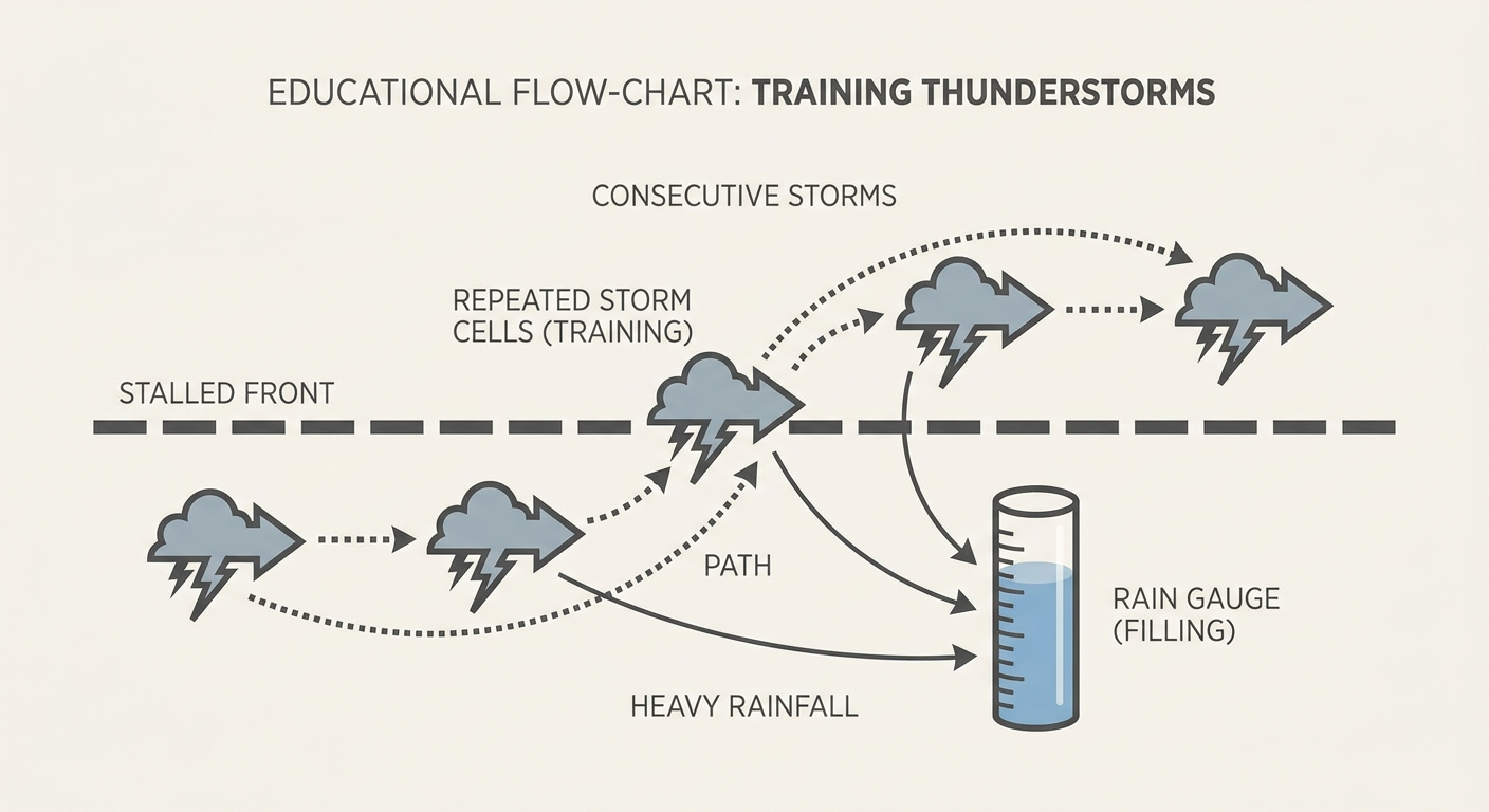
While Bertha grabs the headlines, there's a quieter but arguably more dangerous setup sitting over southeast Virginia and eastern North Carolina. WPC has a Moderate Risk of excessive rainfall posted there today, and if you were following along yesterday, you know why this area is primed for trouble. A stalled cold front has been sitting over the Mid-Atlantic and Appalachia for days now, and it's been squeezing out round after round of training thunderstorms. West Virginia is still recovering from a Flash Flood Emergency in Upshur, Harrison, and Taylor counties, with water rescues and submerged vehicles reported well into yesterday.
Today's setup over Hampton Roads is similar in spirit. Precipitable water values near 2 inches combined with elevated instability ahead of that same slow-moving front mean storms could repeatedly fire over the same neighborhoods, producing rain rates of 2 or more inches per hour. That's the recipe for flash flooding, not just heavy rain. If you've got FloydFest going on in Check, Virginia this weekend, or you're traveling I-64 or I-95 through the Hampton Roads corridor, keep an eye on radar trends and road conditions. This risk holds at Moderate through Friday before easing back to Slight on Saturday.
Severe Storms Watch: High Plains Hail and Wind
Out in the High Plains, SPC has a Slight Risk of severe storms posted for western Kansas today, centered on Dodge City, Garden City, and Scott City. Widely scattered storms this afternoon and evening could produce large hail and severe wind gusts, with the wind threat carrying a 15% probability, Level 2 on SPC's scale. This isn't a tornado-focused day. It's a hail and wind day, the kind where you want your car under a carport by supper time if you're in that corridor.
Tomorrow the severe threat shifts north into the Dakotas and northwest Minnesota, with an isolated tornado not out of the question there given a shortwave trough digging in from Manitoba. That's a smaller, more contained risk area, but Bismarck and Fargo residents should keep half an eye on the sky Friday afternoon.
Fire Weather Ramps Up Out West
Friday brings a Critical Fire Weather designation for northeastern California, northwestern Nevada, and south-central into southeastern Oregon. We're talking 15 to 25 mph winds, relative humidity dropping below 15%, and energy release components sitting in the 80th to 90th percentile for this time of year. If you've got outdoor plans in that stretch, including festival-goers headed to Night in the Country in Yerington, Nevada, be aware that any spark, whether from a vehicle, a grill, or fireworks, has real potential to get out of hand fast in that kind of dryness and wind.
Elsewhere: A Genuinely Nice Day for Most
Here's some good news for a change. A building surface high across the Great Lakes into New England and the Mid-Atlantic is setting up one of the better weather days we've seen in a while, with low humidity and clear skies pushing conditions into the "beautiful" tier for folks from Chicago to Boston. If you've got tickets to the Padres-Braves game in Atlanta this afternoon, or you're headed to the 3M Open in Minnesota, you're mostly clear. Temperature-wise, Atlanta sits close to its July norm of 89°F, so nothing extreme there. The bigger heat is out west and across the southern Plains, where Dallas and Oklahoma City are tracking near their typical mid-90s July highs, not record territory, just standard Southern summer.
What We're Watching
- Bertha's final landfall location and timing along the upper Texas coast this afternoon or evening
- Rainfall totals in South Texas tomorrow as Bertha's remnant moisture spreads inland, tempered somewhat by dry antecedent soil
- The Moderate Risk excessive rainfall zone over southeast Virginia and eastern North Carolina, where training storms could produce localized flash flooding through Friday
- Large hail and damaging wind potential over western Kansas this afternoon, shifting toward the Dakotas and northwest Minnesota Friday
- Critical fire weather conditions building across northeastern California, northwestern Nevada, and parts of Oregon on Friday
- A possible G1 minor geomagnetic storm Friday tied to lingering coronal hole effects and recent CME activity, nothing that affects weather but worth knowing if you're an aurora chaser up north
Bottom Line
If you're on the Texas coast, especially Houston, Galveston, or anywhere between there and Sabine Pass, plan your day around Bertha's landfall this afternoon. Expect gusty wind, heavy rain bands, and some coastal flooding risk, but this is a tropical storm impact, not a hurricane one. If you're in Hampton Roads or eastern North Carolina, the flash flood risk today is the bigger deal even though it won't make the same kind of national noise a named storm does. Keep your phone's flood alerts on. Everybody else from the Great Lakes through New England gets a genuinely pleasant day, so if you've got outdoor plans there, go enjoy it while it lasts.