Blog Article
Late First Freeze: Chicago, Detroit, Buffalo This Weekend
Chicago, Kansas City, Detroit, Cleveland and Buffalo hadn't hit 32 this fall, a streak not seen since 1900. Ryan explains why and what changes this weekend.
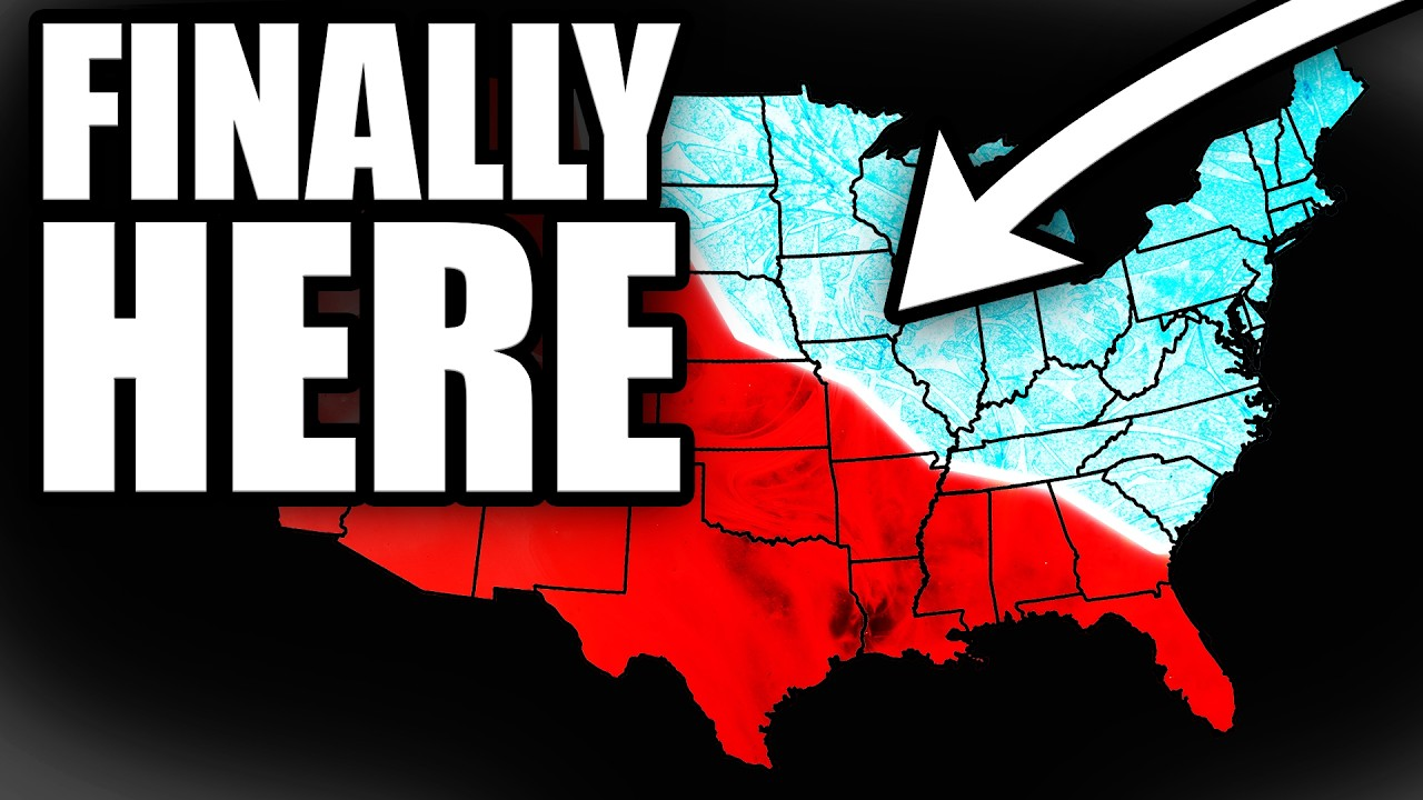
Big cities had yet to freeze as weekend cold approached
Ryan walks through a late start to freezing weather across the Midwest and Great Lakes. As of his video, Chicago, Kansas City, Detroit, Cleveland and Buffalo had all made it into November without dropping to 32°, something that last happened 126 years ago. A push of cold air from Canada was lined up for this weekend, so the streak was about to be tested.
What Ryan covered
- Ryan points out that "something big is happening right now across America that we haven't seen since the year 1900." Those five cities were all still waiting on their first freeze when the video was published.
- He compares the calendar to normal. Chicago usually freezes around October 19 and had only bottomed out near 39°. Minneapolis usually freezes around October 13, so it was running more than 3 weeks late.
- Ryan notes that in 1900 those cities all froze within 3 days of each other, from November 7 to 9. That is this exact weekend.
- He explains the delay. For most of the fall the jet stream stayed far to the north and kept the real cold bottled up in Canada. The few times some of it slipped south, it was gone in a day or two.
- He says cold air out of Canada was set to push south across the Plains and into the upper Midwest. Minneapolis and Des Moines were forecast to land right around 30°. Ryan also says some of the big cities may escape this cold snap entirely, and one could be closing in on a record set in 1931.
- Ryan flags something happening over the Arctic too. He says the winds holding the polar vortex together are "weaker than we've ever seen them this early in the season," and that this could change how winter plays out across the country.
Ryan's video was published Thursday, so check your own local forecast for exact lows tonight and Sunday morning. He also pointed back to that stretch of summerlike weather earlier in the week, with Indianapolis at 78° on Tuesday and Buffalo at 79° on Wednesday, beating its old daily record by 5°.
What our outlooks add
A first freeze is not a winter storm, and our winter storm outlook shows no significant winter weather across the lower 48 today, Sunday or Monday. If a first freeze is in your local forecast, this weekend is mainly about bringing in tender plants, covering the garden and draining outdoor hoses.
Our outlook for the days ahead keeps most of the snow in the West. Moisture off the Pacific should bring rounds of mountain snow to the Washington and Oregon Cascades and the northern Rockies from Tuesday through Friday.
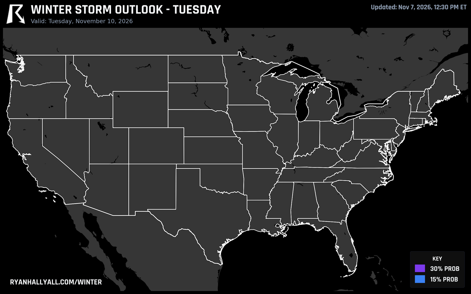
Across the northern tier, fast-moving disturbances could bring some mixed precipitation and lake-enhanced snow showers to the Great Lakes and interior Northeast. Confidence in any organized winter weather for the central and eastern states is low.
Looking further out, high pressure is forecast to bring dry, cool air across the central and eastern U.S. next Friday and Saturday, November 13 and 14. That should limit thunderstorm potential over most of the country.
You can sign up for free Y'all Alerts and check the live warnings page if cold or snow could affect your plans.
Watch Ryan's full video above to see all the city-by-city freeze numbers and his full explanation of the polar vortex.
https://ryanhallyall.com/blog/big-cities-had-yet-to-freeze-as-weekend-cold-approached