Blog Article
Lubbock vs NYC Weather Tonight: Storms vs Clear Skies
Blippi fans in Lubbock enjoy a calm night before Tuesday's severe storm risk, while NYC theatergoers get one of October's nicest evenings. Here's why.
Blippi in Lubbock, Six in New York: Two Stages, Two Very Different Forecasts
Alright folks, get this. Tonight two very different crowds are filing into two very different theaters, and the sky's got two very different plans for them.
In Lubbock, Texas, it's Blippi the Musical. Little ones in orange and blue, parents juggling snack cups, a packed house. Up in New York City, it's a night at Six, ticket stubs and playbills, folks spilling out onto the sidewalk after curtain call. Same Monday night. Two coasts of weather, practically.
New York's Got One of the Month's Best Nights
Start with the good news. Tonight's "nice weather" zone, the stretch of the country where the air just feels right, runs from the Pacific Northwest through the Great Lakes, into the Northeast, Mid-Atlantic, and down through the Carolinas and Georgia. That swath is scoring a 79.9 out of 100 on tonight's comfort index, just a couple points shy of the next tier up. Light wind, low humidity, clearing skies. If you're walking out of a Manhattan theater tonight, you picked a good one. No coat check regrets, no umbrella forgotten under your seat.
Lubbock's Fine Tonight. Tomorrow's a Different Story
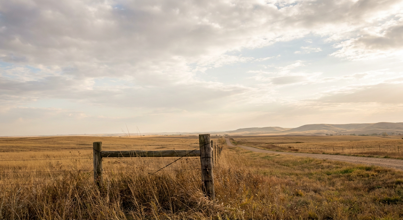
Lubbock's not bad tonight either. The Plains and Texas are sitting in that broader fair-to-decent zone, dry and quiet, just a little warmer and breezier than the favored northern swath. Good night for a musical.
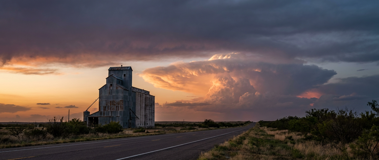
But here's where the story turns. The Storm Prediction Center has already drawn a line for Tuesday, and it runs right through West Texas. SPC's Day 2 outlook puts Lubbock and Amarillo under a Marginal Risk for severe storms, the lowest rung on their ladder, while a tighter Slight Risk sits over Kansas City, Wichita, and Topeka to the northeast. The setup: a surface trough, a dryline, and a cold front all converging over the southern and central Plains Tuesday afternoon into night, with low-level moisture pulling dewpoints up into the mid 60s to low 70s. That's plenty of fuel.
If storms fire, SPC's probabilities show why they're worth watching. Wind gets a 15 percent, Level 2 "scattered damaging wind" tag, meaning 60 mph-plus gusts are in play. Hail carries the same Level 2 flag, with quarter-size stones or bigger possible. Tornado odds are lower, 2 percent, Level 1, isolated at most. None of that is a reason to panic. It's a reason to know the forecast before you're driving home from daycare Tuesday afternoon.
Rain Behind the Storms, Too
The severe threat isn't traveling alone. WPC has a Marginal excessive rainfall risk Tuesday stretching from the Great Basin into the central and southern Plains, and that upgrades to a Slight Risk by Wednesday across the southern High Plains into the central Plains and Lower Missouri Valley. Translation: once the storms move through Lubbock and points northeast, some spots could see training cells and heavier rainfall totals on top of the wind and hail threat.
This Week Has Already Been a Lot
If this feels like deja vu, it should. Yesterday alone brought confirmed tornadoes and wind damage across central and eastern North Carolina, flash flooding and swiftwater rescues in Las Vegas and Southern California from Post-Tropical Cyclone Rachel's remnants, and over a foot of early-season snow in parts of Montana. That's three different kinds of weather chaos in one 24-hour stretch, all while Hurricane Simon churns off the Mexican coast as a Category 2, down from Category 4 earlier in the week. October's been swinging big, and Tuesday's Plains setup is just the next pitch.
What This Means for Your Week
- Tonight: Lubbock and New York both get a quiet evening. Enjoy the show wherever you are.
- Tuesday afternoon into night: West Texas, including Lubbock and Amarillo, sits in a Marginal severe risk. Kansas City, Wichita, and Topeka carry the higher Slight Risk. Large hail and damaging gusts are the main concerns.
- Tuesday into Wednesday: Heavy rain risk builds behind the storms across the southern Plains and Lower Missouri Valley. Watch for localized flooding if you're in that corridor.
The takeaway here isn't complicated. Weather doesn't care what's on the marquee. It just asks you to check the forecast before the next curtain goes up.