Blog Article
Halloween Weekend Weather: Texas Rain, KY Sun, MI Storms
From flash flood risk at Texas polling places to perfect skies for the Breeders' Cup in Kentucky, here's how this weekend's weather pattern touches real plans.
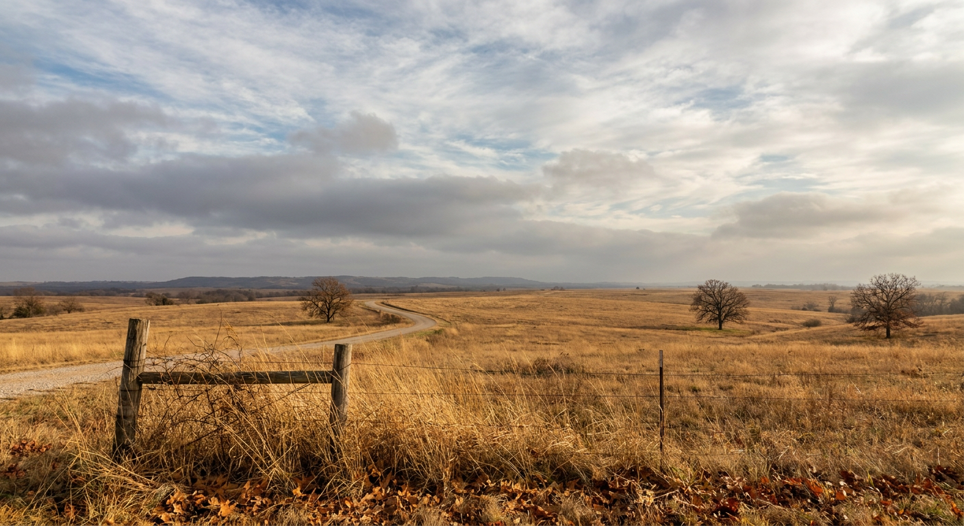
Boos, Brews, and a Flash Flood Watch: Your Halloween Weekend Weather Rundown
Alright folks, let's talk about what's actually going to affect your weekend, because it ain't just candy corn and costumes this year.
A Cold Front Crashes the Boos & Brews Party
Get this. Kalamazoo's got its Halloween Boos & Brews festival going on tonight, and a whole slate of other outdoor Michigan events this evening too, from a hockey showcase in Plymouth to a concert in Royal Oak. Here's the thing nobody's talking about: there's a cold front working its way across the Upper Midwest right now, and it's not done yet.
SPC has a Slight Risk of severe storms up across eastern Minnesota and northwest Wisconsin this evening, with a few tornadoes, hail, and damaging wind gusts possible as that front pushes through. By Thursday, the energy behind it slides into the Great Lakes. Our own forecast discussion for Thursday notes residual showers and thunderstorms could linger from Wisconsin through Michigan, and while the severe threat drops off quite a bit by the time it reaches the Great Lakes, isolated hail or a brief tornado can't be completely ruled out where instability and wind shear overlap. If you're out at any of these Michigan events tonight into tomorrow, keep half an eye on the sky. Nothing to panic over, but it's not a bluebird setup either.
Texas Voters Might Need an Umbrella at the Polls
Now here's a pairing you don't think about much: early voting and tropical moisture. Early voting wraps up soon in Texas, and a lot of folks are heading to the polls this week. Meanwhile, out in the East Pacific, Tropical Depression Vance has weakened to 35 mph winds and is just drifting north off Mexico's west coast, going nowhere fast. But its remnant moisture is about to matter a lot more than the storm itself.
WPC has placed a Day 2 Slight Risk for excessive rainfall across west and central Texas on Thursday, specifically the Edwards Plateau, the western Hill Country, Midland, and the Permian Basin. The setup: Vance's leftover moisture lifts north while southeasterly low-level flow drags in unusually moist Gulf air, pushing precipitable water values up toward 1.5 to 2 inches. That's plenty of fuel for rainfall rates of 1 to 2 inches an hour, with storm totals of 2 to 4 inches possible, locally higher. Flash flooding is a real possibility, and this comes on the heels of New Mexico's deadly flooding just two days ago and a 2-inch hail report near Kent, Texas, this week. The ground out there has had a rough month.
For context, San Antonio's average high this time of year sits around 82°F with a low near 60°F. Temperatures won't be the story Thursday. Moisture and rainfall rate will be. If you're voting early in that corridor, or just running errands around San Antonio, Austin, or Midland, build in extra time and watch for ponding on the roads, especially during any midday or afternoon downpours.
Good News for the Breeders' Cup Crowd
Now for the part of this forecast that should make horse racing fans breathe easy. The Breeders' Cup World Championships kick off Friday in Lexington, Kentucky, and our Day 3 outlook has central and southeastern Ohio, northwestern West Virginia, and northeastern Kentucky landing in the BEAUTIFUL category, the best rating the forecast day allows. Light winds, dry air, and plenty of sunshine. That's about as good as late October gets in the Bluegrass State.
The reason is simple. The same frontal system stirring up trouble in the Upper Midwest and Great Lakes will have mostly cleared the Ohio Valley by Friday, and high pressure builds in behind it. So while Michigan's dealing with leftover clouds and Texas is watching rain gauges fill up, Kentucky gets the sweet spot. If you're headed to Lexington for the races, pack a light jacket for the morning chill, but leave the rain gear home.
A Little Bonus Sky Show
One more thing for your Halloween night radar. NOAA's Space Weather Prediction Center has a G1 (Minor) geomagnetic storm watch for October 31, with Kp values reaching 5. That's a modest storm, driven by a recurring coronal hole stream, not a flare. It won't light up the whole sky, but if you're way up in the far northern tier, think North Dakota, northern Minnesota, places with dark skies and a clear view north, you might catch a faint aurora glow on Halloween night itself. Low confidence, modest intensity, but kind of a fun coincidence that it lines up with a weekend when half the country's already looking up at something, whether that's a new dwarf planet discovery making headlines in astronomy circles or just jack-o'-lanterns on a porch.
The Takeaway
Three different stories, one shared atmosphere. A front working through the Great Lakes complicates Halloween party plans in Michigan. Dying Tropical Depression Vance still has enough juice to threaten flash flooding on Texas early voters. And a lucky gap in the pattern hands Kentucky's Breeders' Cup about as perfect a weekend as October offers. Check your local forecast before you head out this weekend, because this time of year, the sky can flip the script fast.