Blog Article
Texas Dryline Severe Weather Threatens Weekend Festivals
A dryline in West Texas is bringing severe thunderstorms, large hail, and high winds to the Southern Plains. See how it impacts weekend outdoor events.
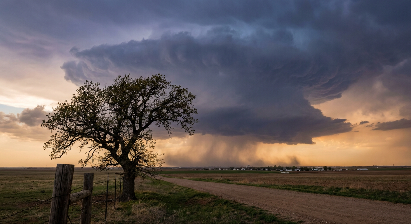
Brisket, Guitars, and Dryline Supercells: A Texas Spring Tradition
Springtime in Texas is a beautiful thing. The bluebonnets are out. The smokers are fired up. And every single weekend, there is a music festival trying to dodge severe weather.
Get this, y'all. Today, the Basin Red Dirt BBQ and Music Festival is happening right now out in Midland. It is a great time to be outside with good food and live music. But the atmosphere is cooking up something a little more intense than brisket. Midland and Odessa are sitting right in a Slight Risk for severe thunderstorms this evening, and it is all thanks to a classic springtime setup.
The Dryline Does the Heavy Lifting
We are watching the dryline set up shop out in West Texas. If you are new to the area, the dryline is exactly what it sounds like. It is a sharp boundary separating two very different types of air.
On the east side, you have warm, humid air pumping in straight from the Gulf of Mexico. On the west side, you have bone-dry desert air blowing in from the Southwest. Here is the secret to spring weather. Dry air is heavier and denser than moist air. When that dry desert air pushes east, it acts like a giant snowplow. It scoops up that humid Gulf air and forces it violently upward into the atmosphere.
That upward motion is how we get supercells. The Storm Prediction Center is forecasting scattered thunderstorms along this boundary tonight. The main threats are large to very large hail and strong wind gusts. If you are out at the festival in Midland, or just hanging in your backyard in San Angelo, you need to keep your head on a swivel. A 60 mph wind gust will wreck a pop-up tent in a real hurry.
The Threat Shifts East on Sunday
This threat doesn't vanish when the sun goes down. Tomorrow, the whole system shifts east. We have another Slight Risk on Sunday covering San Antonio, Abilene, and up into Oklahoma City. Dallas is sitting in a Marginal Risk.
High temperatures in Dallas average around 77 degrees this time of year. We are sitting right near those normal temperatures, but the real story is the moisture fueling these storms. The ground is already saturated in parts of Central Texas, and any slow-moving storms tomorrow could drop a whole lot of water in a short amount of time.
A Tale of Two Seasons
It is wild to think about folks in Texas dodging hail at a BBQ festival while the Pacific Northwest is bracing for feet of snow. But that is exactly what is happening. The Weather Prediction Center is tracking a major late-season winter storm moving into the Cascades and Northern Rockies by the middle of next week. Places like Spokane and Bend are looking at significant winter impacts right as we head into mid-April.
That is the reality of spring weather. It is a transition month. You can have a sunburnt neck and a busted windshield on the exact same day. If you have outdoor plans in the Southern Plains this weekend, make sure you have a way to get warnings that will actually wake you up or get your attention over loud music.
https://ryanhallyall.com/blog/brisket-guitars-and-dryline-supercells-a-texas-spring-tradition