Blog Article
Burning Man Traffic Meets Southwest Flash Flood Risk
Burning Man's exodus hits a Moderate flash flood risk in Utah and Arizona as Tropical Depression Five nears Texas and severe storms eye college football's opener.
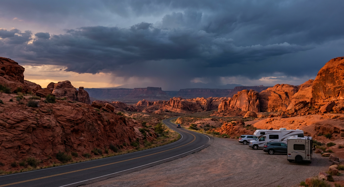
Burning Man's Drive Home Is Running Straight Into Flash Flood Country
Alright folks, let's talk about timing. Burning Man wrapped up on the Black Rock Desert playa, and if you know anything about that exodus, you know it's already a nightmare of RVs, dust, and bumper-to-bumper traffic crawling toward pavement. Well, this year that drive home dumps a whole lot of those travelers right into the Southwest's Moderate Risk of excessive rainfall.
WPC has a Moderate Risk (their second-highest excessive rainfall category) stretched across Utah and northern Arizona today, and it's not backing off politely. The risk got expanded southward into the Grand Canyon region this morning because the high-res models are locking onto repeating, terrain-driven convection. We're talking rain rates over an inch an hour, 30 to 40 knots of shear feeding the storms, and burn scars from recent fires that turn a heavy shower into a debris flow real quick.
This isn't a new story for the region. Just yesterday, flash flooding hit Sulphur Creek and Wahweap Creek in southern Utah, and a debris flow crossed Highway 141 near the Turner Gulch burn scar in Mesa County, Colorado. Fifty people had to be air evacuated from Phantom Ranch in the Grand Canyon just two days before that. The monsoon has been running hot and heavy all month, and today's setup is another round of the same engine.
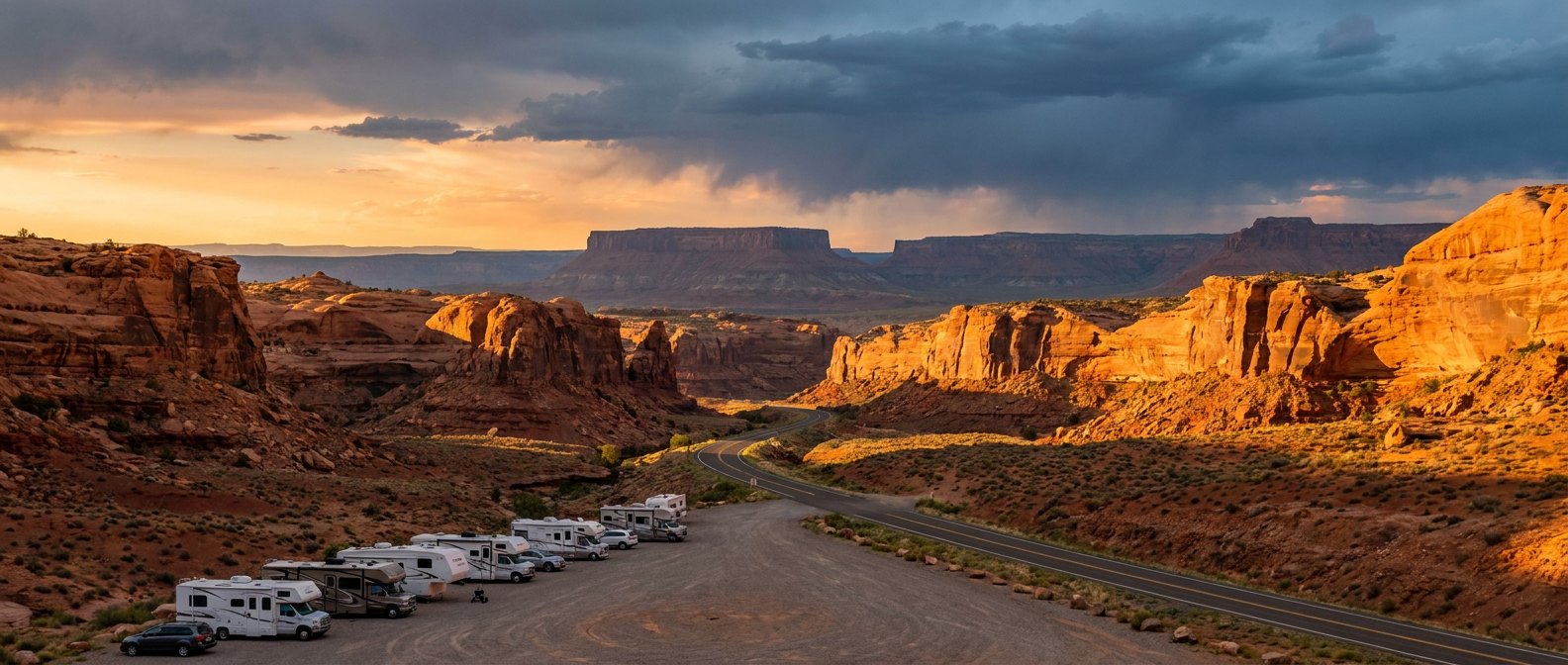
If you're one of the folks pointing a dusty RV back toward I-15 through Utah or cutting across northern Arizona today, this is the day to check road conditions before you drive into a canyon. Slot canyons and dry washes can go from bone dry to a wall of water in minutes when a storm cell parks over the watershed upstream. You don't have to see a cloud over your head to get caught in a flash flood.
Tropical Depression Five Is Knocking on Texas's Door
While the desert deals with monsoon moisture, the Gulf has its own situation. Tropical Depression Five sits about 105 miles south of Morgan City, Louisiana, and it's tracking WNW at 6 mph toward the upper Texas coast. A Tropical Storm Warning covers southwestern Louisiana and a Storm Surge Watch is up for the northwestern Gulf Coast. Landfall is forecast near Sabine Pass around 2 PM Tuesday, and even before it comes ashore, WPC has a Slight Risk of excessive rainfall painted from Galveston Bay toward College Station, with 5 inches or more possible in a narrow corridor.
This storm is compact, so don't expect a huge wind story. The bigger deal is the water, both from the surge and from a slow-moving rain shield parking over southeast Texas. If you've got Labor Day beach plans anywhere between Galveston and Lake Charles, Tuesday is not your day. Houston-Galveston and Sabine Pass are the areas the National Hurricane Center's impact model has flagged to prepare, while the broader Houston metro sits one notch down at aware.
Season-Opener Weekend Might Get Wet in the Northeast
Here's the one that's going to matter to a different crowd. College football's opening weekend kicks off Thursday and Friday, and there are games at Rutgers in Piscataway, Delaware in Newark, and Buffalo hosting UAlbany, all in the Northeast corridor. SPC's extended outlook flags Thursday and Friday, Days 4 and 5 in forecast terms, as the best window for East Coast severe storms this week, as a series of mid-level disturbances ride an upper ridge crest right into the Mid-Atlantic.
It's early to pin down exact game-time impacts, and SPC's own probabilities for that range sit at 15 percent, which is a real but not overwhelming chance if storms fire. Still, if you've got tailgate plans in New Jersey, Delaware, or western New York for the opening weekend of the season, keep half an eye on the sky. The same pattern has already put Philadelphia, DC, and Baltimore under a Slight Risk for Wednesday, so the setup is trending toward the coast, not away from it.
What Ties It Together
We're closing out August the same way most of the month went: an active Southwest monsoon, a Gulf system aiming for the Texas coast, and a severe weather corridor sliding east toward the population centers. This month alone gave us 100 mph gusts near Buffalo, South Dakota, an 8.74 inch rain total near Rugby, North Dakota, and a hurricane that dropped 140 mph gusts on Mauna Kea. The pattern hasn't been shy, and this week isn't either.
For context on the heat side of things, Phoenix's average August high sits at 105 degrees, so the moisture fueling these Southwest storms is riding on top of some serious desert warmth, which is exactly the recipe for flash, heavy downpours rather than long soaking rains.
So here's the takeaway, y'all. Whether you're driving a dusty RV out of Nevada, packing a cooler for the Texas coast, or setting up a tailgate tent in New Jersey, check the forecast for where you're actually going, not just where you are right now. This week's weather is moving fast, and it's not waiting for anybody's road trip or kickoff.
https://ryanhallyall.com/blog/burning-mans-drive-home-is-running-straight-into-flash-flood-country