Blog Article
Burning Man 2026 Weather: Wind, Dust and Mud Risk
SPC flags a wind threat and WPC an excessive rainfall risk across the Great Basin as Burning Man 2026 opens at Black Rock Desert. Here's what it means.
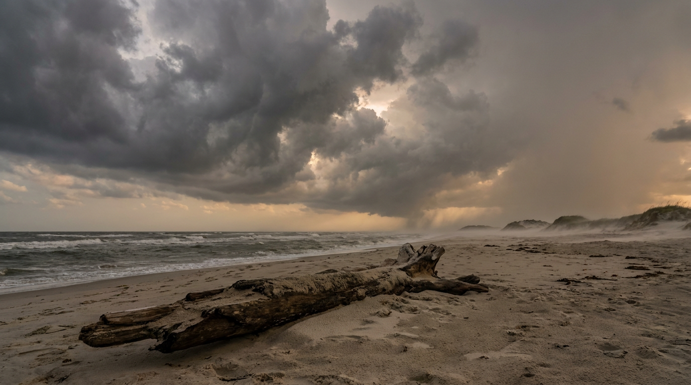
Burning Man's Weather Gamble: What the Great Basin Forecast Means for the Playa
Get this, y'all. Burning Man kicks off Sunday out at Black Rock Desert, Nevada, and the same stretch of atmosphere that's been kicking around the Great Basin all week is still very much in business. Last night, thunderstorm gusts hit 79 mph near Santaquin, Utah, strong enough to snap trees and roll a semi truck right off I-15. That storm didn't happen in a vacuum. It's part of a pattern camped out over the Intermountain West, and it's not packing up before the gates open on the playa.
The Forecast Isn't About Temperature. It's About Wind and Water.
The Storm Prediction Center has a Slight Risk of severe thunderstorms up today across eastern Nevada, northern Utah, and far southwest Wyoming, with a broader Marginal Risk stretching from Phoenix to Denver to Rapid City. The setup: widely scattered strong to severe storms across the northern Great Basin, the northern and central Rockies, and the northern Plains, with severe wind gusts as the main threat. Inside the hatched zones, forecasters say gusts could reach 75 mph or better if a storm really gets going.
Separately, the Weather Prediction Center has a Slight Risk of excessive rainfall running Saturday through Monday across the Intermountain West, expanding into the Four Corners and the Great Basin. Forecasters are calling for anomalous moisture, 2 to 3 standard deviations above normal, feeding into an upper-level trough digging out of the Pacific Northwest. That's the ingredient that turns a dry playa into a soup.
Neither outlook singles out Black Rock Desert by name. These are broad regional risk areas, not a pinpoint forecast for one campsite. But the region they cover includes the northern Great Basin, and that's exactly where the playa sits.
Two Ways This Goes Wrong, and Burners Have Lived Through Both
A lot of us remember September 2023, when heavy rain turned the playa's alkali clay into thick, shoe-stealing mud and stranded tens of thousands of people in place for days. That event became a viral moment far outside the burner world, and it's the reason "mud year" gets brought up every single August now.
This week's setup carries risk on both sides of that coin. If the storms stay mostly dry, and high-based thunderstorms are common in the desert Southwest this time of year, the story is wind. Outflow gusts from a collapsing storm can rip across open desert with nothing to slow them down, and that's how you get sudden dust storms, sometimes called haboobs, that drop visibility to near zero in minutes. If storms manage to wring out meaningful rain on that clay playa surface, the story flips to mud, standing water, and stuck vehicles.
If You're Headed Out There
Check road conditions before you drive in, since gusty outflow winds can throw dust across highways with little warning. Pack for both extremes: dust goggles and a mask for wind days, and boots that can handle standing water if rain lingers on the clay. None of this means Burning Man is getting shut down. It means the same atmosphere that's been producing 90 mph-class wind gusts across the Plains and Intermountain West all month, including 92 mph at Stapleton, Nebraska, and repeated Utah wind events this week, hasn't left the neighborhood yet.
Meanwhile, Out in the Tropics
Quick tropics check for anyone tracking the bigger picture. Tropical Storm Karina is sitting well southwest of Baja California with 69 mph winds, moving into a more favorable environment but with no coastal watches or warnings issued. Tropical Storm Lowell is way out in the open Pacific, east-southeast of Hawaii, still sheared and disorganized at 46 mph, but the National Hurricane Center's impact model has Hawaii Island communities like Hilo and the Kona Coast flagged at an "aware" level roughly eight days out. Nothing imminent, just something to watch.
Closer to home, there's a weak invest area sitting quietly in the Gulf, lightly organized with 20 knot winds and a 1015 millibar pressure. It's not a system with a name or a forecast track yet, just a patch of disturbed weather worth keeping an eye on as we roll toward September.
The Takeaway
The Great Basin's severe weather pattern didn't check the Burning Man calendar before it set up shop, and it's not clearing out for opening weekend. Whether it turns the playa into a dust bowl or a mud pit depends on whether these storms stay mostly wind or manage to squeeze out real rain, and that split is still playing out storm by storm. Either way, the desert's about to remind a lot of first-timers that weather doesn't care what week it is on the festival calendar.