Blog Article
Hurricane Lowell Nears Hawaii; Southeast Severe Storm Risk
Category 4 Hurricane Lowell approaches Hawaii as Kauai braces for close approach. Meanwhile, the Southeast faces another Slight Risk day for damaging winds and flash flooding.
Cat 4 Lowell Takes Aim at Hawaii While the Southeast Braces for Another Round of Damaging Storms
Alright y'all, we've got a lot to cover this morning, so let's get right into it.
Hawaii Watch: Lowell Is the Real Deal
Hurricane Lowell is sitting about 625 miles south-southwest of Kauai this morning as a Category 4 hurricane with 155 mph winds and a 925 mb central pressure. That's an impressive storm. Reconnaissance flights have been in and out of it, and the satellite presentation still shows a warm, well-defined eye even though it's ragged up a little overnight.
Here's the part that matters for Hawaii: our impact model has Kauai's north and south shores at a "prepare" threat level, with closest approach expected in about three and a half days. Current guidance brings Lowell to within roughly 40 miles of Kauai's south shore by Tuesday morning, but by then the forecast has it weakening to something closer to Category 2 strength, around 111 mph, as it moves into a less favorable environment. Oahu's west and south shores are sitting at an "aware" level right now, farther out and with more uncertainty in the track.
I want to be straight with y'all on this one. Nothing here says landfall is locked in. The official forecast still shows no landfall expected. But when a major hurricane is forecast to turn north and close the distance to within a few dozen miles of an island chain, that's not a "wait and see" situation. If you're in Kauai County, now's the time to have your plan buttoned up. Water, batteries, a way to charge your phone, and a real look at your evacuation zone if you're anywhere near the coast.
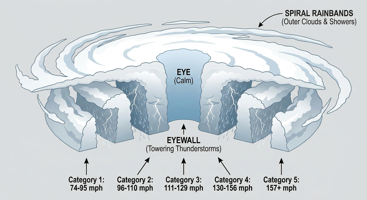
Lowell isn't traveling alone out there either. Hurricane Marie, a Category 1 storm with 92 mph winds, is chugging northwest well off Mexico's Pacific coast and is forecast to stay away from land, its closest pass coming near San Quintin in Baja California late Sunday, still nearly 185 miles offshore. And Hurricane Karina, also Category 1 with 75 mph winds, is weakening as it heads toward cooler water and stronger shear well east of Hawaii, essentially a fish storm at this point with no landfall threat. Lowell is the one to watch. The other two are background noise.
Back in the Lower 48: The Southeast's Severe Weather Hangover Continues
If yesterday felt rough for folks in Virginia, Maryland, and the Carolinas, today's forecast is basically a rerun with the actors shuffled around a little. Remember, we had 58 to 64 mph gusts clocked at Reagan National and in Delaware yesterday, plus flash flood rescues in Alexandria and multiple tornado warnings, including one that clipped southeastern Virginia. Over 200,000 customers lost power in Michigan on top of that from a separate cluster. It was a busy day.
Today, SPC has a Slight Risk posted from the Ohio Valley into the southern Mid-Atlantic and Carolinas, covering Charlotte, Raleigh, Virginia Beach, Lexington, and Norfolk. A broader Marginal Risk fans out to include Indianapolis, Nashville, Louisville, Atlanta, and Cincinnati. The setup is a back-door cold front sliding south and east, and the main threat is damaging wind gusts, with SPC putting a 15% probability (Level 2) on scattered damaging gusts of 60 mph or better in that Slight Risk zone. There's also an isolated large hail threat, but wind is clearly the headliner today.
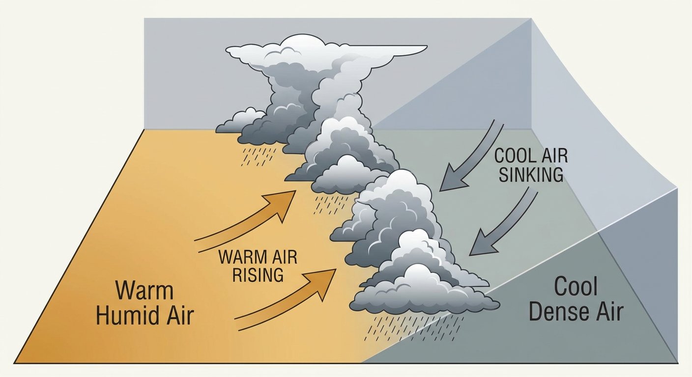
On top of the wind threat, WPC has a Day 1 Slight Risk for excessive rainfall across eastern North Carolina into the Virginia Tidewater. Precipitable water values near 1.75 to 2 inches mean any storm that trains over the same spot can drop 2 to 5 inches quickly, and that's enough to cause the same kind of urban and low-lying flash flooding we saw pop up in North Carolina and Virginia yesterday.
Timeline and Who's Affected
- Today (Saturday): Slight Risk for damaging wind, Ohio Valley through the southern Mid-Atlantic and Carolinas. Slight Risk for excessive rainfall in eastern NC and Virginia's Tidewater region.
- Sunday: The threat slides south. SPC's Slight Risk shifts into South Carolina and Georgia, covering Charleston, Savannah, Columbia, and Augusta, with strong wind gusts likely Sunday afternoon and evening. WPC also has a Slight Risk for excessive rainfall over that same SC/GA corridor, so it's a double-threat day down there.
- Monday: Attention moves to the northern and central Plains into Minnesota, where a Marginal Risk covers Sioux Falls, Fargo, and Bismarck as an upper shortwave ejects northeast.
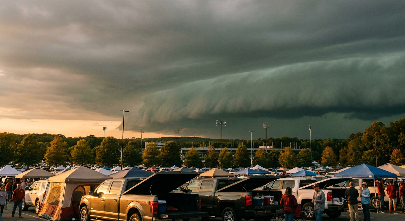
If you've got outdoor plans in that Carolinas-to-Mid-Atlantic corridor today, keep an eye on the sky this afternoon and evening. There's a full slate of college football with evening kickoffs sitting right in or near the Slight Risk zone, including Liberty at James Madison in Harrisonburg, Towson at Navy in Annapolis, The Citadel at Charlotte, and Maine at App State in Boone. None of these are automatically getting rained out, but tailgates and pregame lots are exactly where a sudden 60 mph gust catches people off guard. The Cousinz Festival happening in Norfolk today is in the same boat, sitting right under that overlapping wind and flash flood risk.
What We're Watching
- Lowell's exact turn point and how close it actually gets to Kauai by Tuesday
- Whether Lowell's forecast weakening trend holds, or if it stays stronger longer as it approaches the islands
- How much the Slight Risk severe corridor shifts overnight as the back-door front settles south
- Rainfall totals in eastern NC and the Tidewater, where saturated ground from recent storms raises the flash flood risk even with moderate rain rates
- Sunday's expanded severe and flooding threat sliding into South Carolina and Georgia
Bottom Line
Folks in Hawaii, especially Kauai County, this is the week to get your hurricane plan ready. Lowell is a strong storm and forecast to close the distance significantly by early next week, even though landfall isn't in the forecast yet. Don't wait until Monday to figure out where your supplies are.
Back on the mainland, if you're anywhere from the Ohio Valley down through the Carolinas today, plan your outdoor time with a wind threat in mind, especially this afternoon and evening. And if you're in eastern North Carolina or Virginia's Tidewater, watch for ponding water on the roads. This pattern has already proven it can turn a normal thunderstorm into a flash flood producer this week.