Blog Article
ACL Weekend One Faces Flash Flood Risk in Austin, TX
Austin City Limits Weekend One kicks off under a Slight Risk for excessive rainfall. Here's what training thunderstorms mean for festival-goers today.
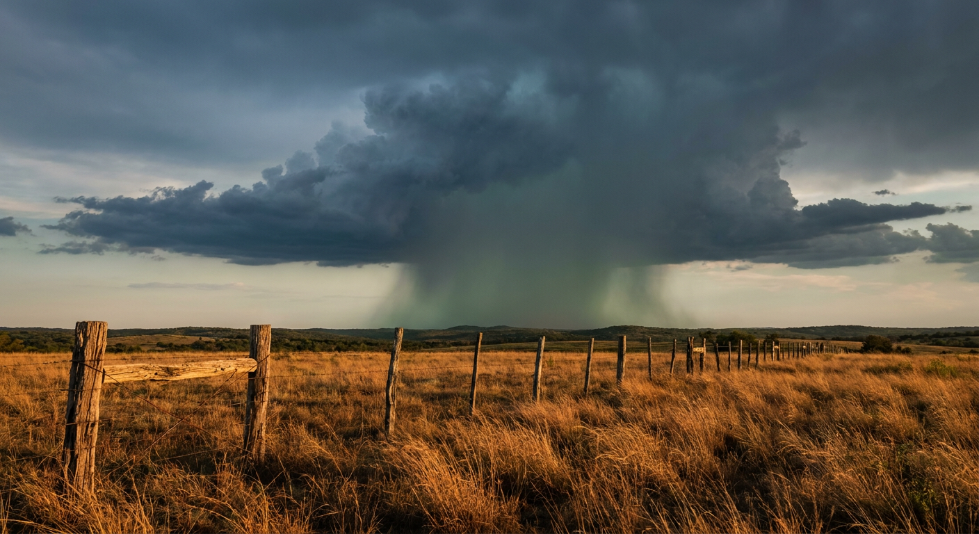
Charli XCX, Skrillex, and a Flash Flood Watch: Weekend One at ACL Gets Wet
Alright folks, if you've got a wristband for Austin City Limits Weekend One today, I need you to read this before you head to Zilker Park. The lineup's stacked. Charli XCX, Skrillex, and a whole mess of acts people are already streaming clips of on Hulu. But the sky over Austin has its own headliner today, and it's not nearly as fun.
The Front That Won't Leave
Here's the setup. A warm front has been stalled out across central Texas, and it is not in a hurry to move. When a front stalls like this, it becomes a track. Thunderstorms form, ride along that boundary, and dump rain on the exact same stretch of real estate over and over. Meteorologists call it training, like train cars running down the same track one after another. That's what's been happening along the I-35 corridor, and it's why the Weather Prediction Center has Austin and San Antonio under a Slight Risk for excessive rainfall today, with two to four inches already down in spots before the afternoon even got going.
San Antonio's average high this time of year sits around 82 degrees with lows near 60. Nothing unusual there temperature wise. The story isn't heat. It's how much moisture is sitting in the air above that heat. Saturated soil from earlier rounds plus a warm, humid atmosphere means the ground can't soak up much else. When the next round of storms rolls through, the water has nowhere to go but into the streets, the low-water crossings, and yeah, probably into some tents at Zilker.
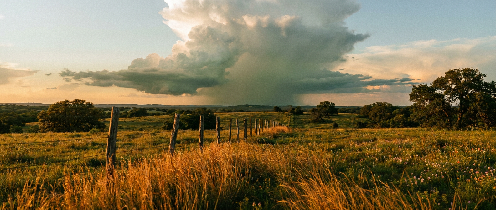
What Training Thunderstorms Actually Looks Like on the Ground
The National Weather Service office covering Austin and San Antonio, EWX, has been flagging this exact threat because flash flood guidance in that corridor is running under half an inch per hour. That's a low bar. It does not take a monster storm to exceed it when the ground is already full. One more cell training over the same neighborhood for thirty minutes and you've got standing water on roads that were bone dry last week.
For festival organizers, this is the nightmare scenario that doesn't show up as a headline storm. No tornado warning, no hail the size of golf balls. Just rain that keeps coming back, parking lots turning into mud pits, and sound techs nervously watching lightning data on their phones between sets.
Why This Matters Beyond the Festival Gates
This isn't just an Austin problem today. The same moisture plume is sliding east. By Saturday, the Weather Prediction Center has shifted the Slight Risk toward the upper Texas coast, Houston, and on into the central Gulf Coast, hitting New Orleans, Baton Rouge, Biloxi, Mobile, and Pensacola with their own round of flash flood potential through the weekend. If you've got travel plans anywhere along I-10 between Houston and the Florida Panhandle over the next two days, keep an eye on your phone, not just your playlist.
And if you're headed back out to Austin for ACL Weekend Two on October 9th, or down to the Formula 1 race later this month, this pattern is worth watching. October in Texas has a habit of parking fronts right over the I-35 corridor and letting the tropics feed them moisture for days at a time.
Meanwhile, Way Out in the Pacific
Quick aside because it's a genuinely wild map day in the tropics, just not our map. Hurricane Rachel is a Category 2 churning a few hundred miles off the southern tip of Baja California, no US impact expected. And out near Hawaii, Hurricane Nolo just re-strengthened and forecasters say rapid intensification is possible over the next day or so as it tracks toward the remote Northwestern Hawaiian Islands. Neither storm threatens the mainland, but if you've got family in Hawaii, it's worth a check-in text this weekend.
The Takeaway
If you're at ACL today, this isn't a run-for-the-hills kind of day. It's a bring-a-poncho, know-where-the-exits-are, and don't-wander-off-during-a-lightning-hold kind of day. The real danger in setups like this is never the storm you can see coming. It's the one that parks itself over your neighborhood for an hour and turns a normal Texas rain into a flash flood statistic. Watch the sky, watch your phone, and let the bands play through the breaks.