Blog Article
Texas Gulf Coast Faces Major Flood Threat Amid Tropical Disturbance
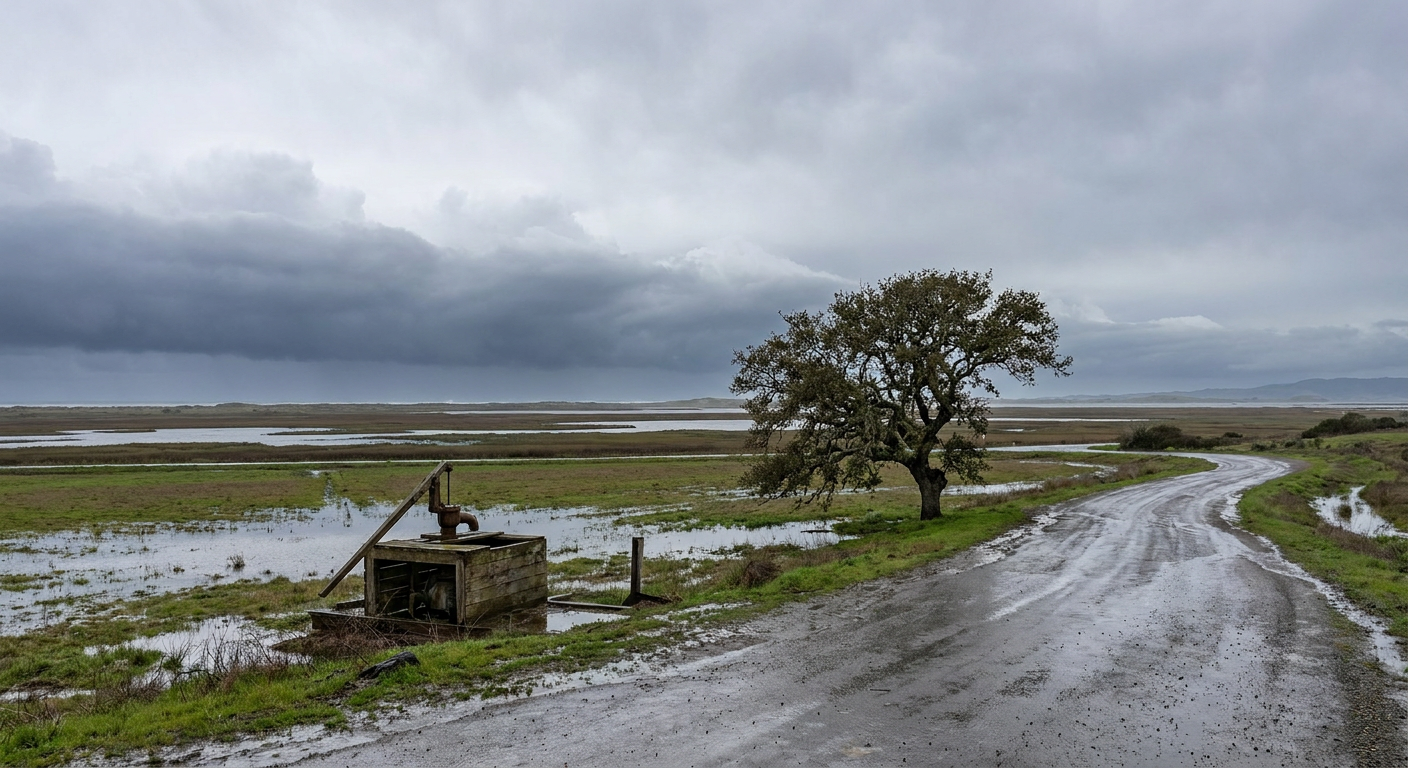
A tropical disturbance in the Gulf of Mexico brings a multi-day moderate risk of flash flooding to the Texas coast. Plus, severe storms target the Midwest.
The Texas Longhorns are in a win-or-go-home situation at the Men's College World Series in Omaha tonight. I know a lot of y'all down south are glued to the television. But if you are watching that game from the Texas Gulf Coast, you have a completely different situation unfolding right outside your front door.
We have a stubborn weather pattern setting up shop, and it is going to drop a massive amount of water on Texas and Louisiana.
The Gulf Coast Water Hose
Right now, a broad area of low pressure is sitting over northeastern Mexico. The National Hurricane Center gives this disturbance a 40 percent chance of developing into a tropical depression or storm over the next two days. That chance goes up to 50 percent by the end of the week.
But here is the thing. A storm does not need a name to cause a disaster.
This system is pulling an incredibly deep plume of tropical moisture straight off the Gulf of Mexico. It is acting like a giant water hose pointed right at the Texas coast. The Weather Prediction Center has issued a Moderate Risk for excessive rainfall for the Texas Gulf Coast, including the Houston metro, for today, Tuesday, and Wednesday.
Seeing a Moderate Risk for three days in a row is highly unusual. It means forecasters have high confidence that we will see numerous flash floods. The ground is going to saturate quickly. Once that happens, the water has nowhere to go but into the streets. If you live in a flood-prone area in Houston, Galveston, or over into southwest Louisiana, you need to be prepared for water to rise fast.
Severe Threat Shifts North
Up in Omaha, the weather looks quiet for the baseball game. But the broader Midwest is about to get active again.
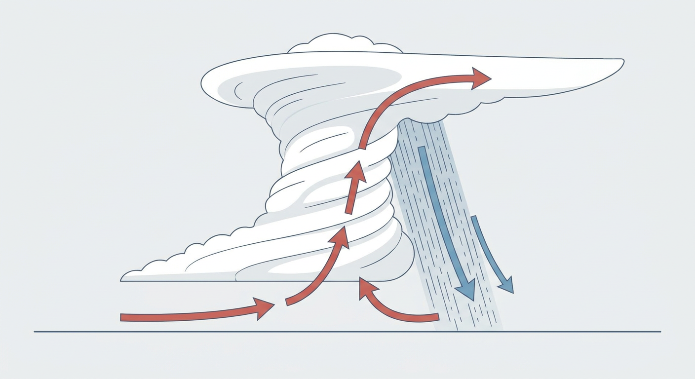
The Storm Prediction Center has highlighted an Enhanced Risk for severe thunderstorms on Wednesday. This covers portions of the Mid-Mississippi Valley into Indiana and western Ohio. We are looking at an all-hazards threat for places like Indianapolis, Indiana, and Springfield, Illinois. A strong mid-level jet is going to sweep across the region, setting the stage for damaging winds, large hail, and strong tornadoes.
We also have a Critical fire weather risk out west for Tuesday. Gusty winds and dry air will elevate the fire danger across eastern Washington and north-central Oregon.
The Bottom Line
Normal high temperatures for Houston in mid-June sit right around 91 degrees. You might not hit that mark this week due to the heavy cloud cover, but the humidity will be absolutely maxed out.
Enjoy the baseball game tonight. Just make sure you have a way to get weather warnings if you live near the Gulf Coast. Have a plan in place, and never drive your car into flooded roadways.
https://ryanhallyall.com/blog/college-baseball-gulf-coast-flooding-and-a-stalled-tropical-system