Blog Article
Weekend Weather: College Baseball Regionals & Severe Storms
College baseball regionals are underway, but severe storms in the Plains and heavy rain in the Southeast could delay the games. Here is your weekend forecast.
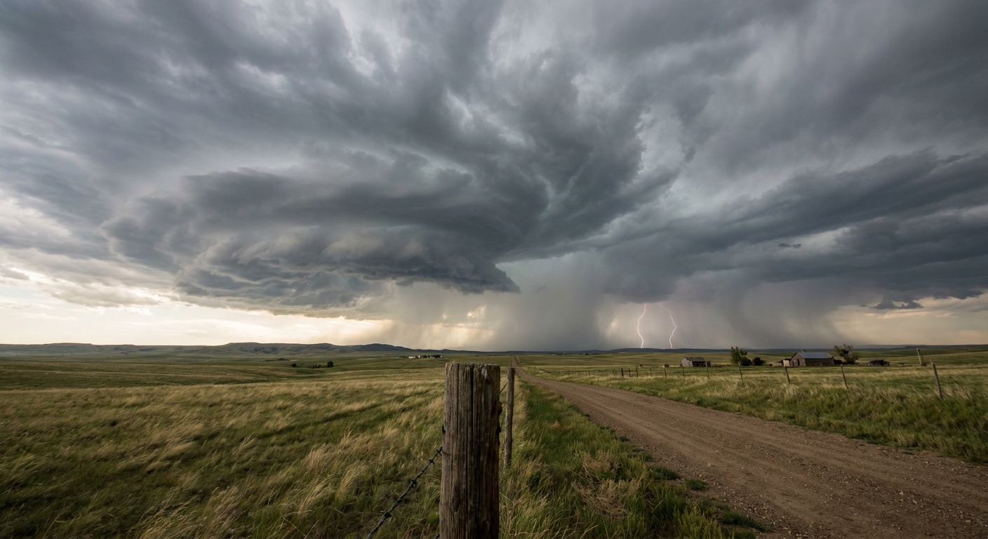
College Baseball Regionals Meet the Plains Dryline
Alright folks, it is the best time of year to be a college baseball fan. The Road to Omaha officially starts this weekend with regional tournaments kicking off across the country. I see y'all searching for updates on Georgia, North Carolina, and West Virginia baseball today. The excitement is real. But if you have tickets for the bleachers in the Plains or the Southeast tonight, you need to keep one eye on the diamond and the other on the sky.
We have a classic late-May setup causing trouble right over some major college towns.
The Plains Dryline Wakes Up
Get this. The Storm Prediction Center has a Slight Risk for severe storms covering West Texas right up into western Oklahoma tonight. That includes Lubbock and the Oklahoma City area near Norman.
Temperatures in Oklahoma City are sitting right around their normal high of 80 degrees today. That warm air is providing plenty of fuel. When storms fire along the dryline this evening, they are going to mean business. We are looking at a 15 percent chance for severe hail, and a specific hatched area where hailstones could reach two inches in diameter. That is hen-egg size. That will put a dent in your truck and ruin a tailgate real quick.
We also have a 15 percent risk for damaging winds. Inside the strongest storm cores, gusts could top 75 mph. The tornado threat is low at 2 percent, but it is not zero.
Tomorrow, that mid-level energy shifts north. The severe threat moves into western Nebraska and southwest South Dakota. Towns like Rapid City and North Platte will be under a Slight Risk for large hail and damaging winds on Saturday afternoon.
Southeast Soakers and Montana Rain
Down in the Southeast and the Tennessee Valley, we are dealing with a completely different headache. The Weather Prediction Center has a Slight Risk for excessive rainfall in place tonight.
We have already seen some serious flooding in places like Arkansas and Tennessee this week. The ground is completely soaked. Any new heavy downpours could cause flash flooding fast. If you are heading out to an evening game or traveling across the region, watch out for water on the roads. Never drive through flooded crossings.
By Saturday, the heavy rain focus shifts out west to Montana. The WPC is highlighting a Slight Risk for excessive rainfall there. Anomalous moisture is going to support widespread half-inch to one-inch totals. The main concern will be localized flash flooding, especially over sensitive burn scars.
The Tropics Are Stretching
Just to remind you what season is right around the corner, the tropics are starting to stretch their legs.
We are tracking a broad area of low pressure way out in the Eastern Pacific, sitting well southwest of the Baja California peninsula. The National Hurricane Center gives it a 70 percent chance of developing into a tropical depression by the middle of next week. It is moving west away from land and is not a threat to the US right now. Still, seeing that red high-risk circle on the tropical outlook is a great reminder to check your hurricane kits before June gets here.
Grab a hot dog, enjoy the games this weekend, and know exactly where the stadium concourse is if the sky turns dark.
https://ryanhallyall.com/blog/college-baseball-regionals-meet-the-plains-dryline