Blog Article
Southwest Flash Flood Risk as Storm Track Shifts North
Flash flood and debris-flow risk hits the Desert Southwest today while a Slight Risk rain threat shifts into the Midwest by the weekend. Full forecast breakdown.
Desert Flash Flooding, a Marginal Severe Threat, and a Storm Track Sliding North
Alright y'all, no tropical storm to lead with today, but don't let that fool you into thinking it's a quiet morning. The big story is water, and it's falling in a place that can least handle it fast: the Desert Southwest. That's on top of a Marginal severe threat riding the Intermountain West and Plains, a couple of tropical areas worth a side-eye, and a minor geomagnetic storm that might light up northern skies tonight.
This keeps a pattern going we've been tracking all month. We just came off a stretch where West Des Moines picked up nearly 8 inches of rain, the Ohio Valley saw repeat flash flooding, and just Sunday night into Monday the New York City metro and southern New England got hammered with 3 to 5 inches in a couple hours, closing stretches of I-95 in Connecticut and prompting water rescues in Stamford and New Haven. The atmosphere's had a lot of moisture to work with in September 2026, and today's setup is more of the same, just in a different zip code.
The Setup: Southwest Soaking, Then a Handoff North
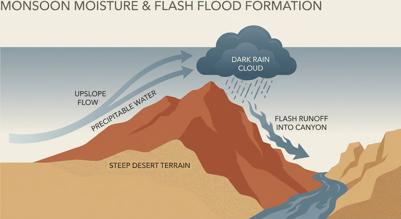
Here's the thing about this pattern. WPC has Slight Risk excessive rainfall zones posted today across the north-central Plains, Midwest, and the Southwestern US, but the sharpest local concern right now is over Arizona and New Mexico. Phoenix, Tucson, Flagstaff, and the Sacramento Mountains around Ruidoso, New Mexico are all getting called out by local forecast offices because of anomalously deep tropical moisture. We're talking precipitable water values running several standard deviations above normal, which is meteorologist-speak for "the sky's holding way more water than it usually does this time of year." When that kind of moisture runs into steep terrain and slot canyons, you get rain rates of 2 inches an hour or more, and that's a debris-flow and flash-flood setup, especially on burn scars that don't have healthy vegetation to soak anything up.
After today, the focus shifts. A shortwave currently over the Northern Plains is picking up that same tropical-origin moisture and dragging it northeast into southern Minnesota and western Wisconsin by Friday, with WPC keeping a Slight Risk posted there for Day 2. Think 2 to 4 inches of rain, locally higher, with storms training or back-building over the same corridor south of I-94. By Saturday, that heavy rain axis slides into the Midwest, Great Lakes, and Ohio Valley, with Milwaukee and Chicago in the bullseye for Day 3.
Marginal Severe Risk Tags Along
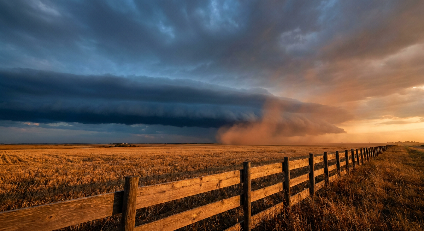
SPC has a Marginal Risk posted today across parts of the Intermountain West and central High Plains, including Salt Lake City and the northeast Colorado towns of Akron, Julesburg, and Sterling. The threat is isolated severe wind gusts and hail as an upper-level low moves inland. That risk area shifts and grows Friday, with Marginal Risk stretching from the northern Intermountain West through the central Great Plains and into the Piedmont of the Carolinas and Georgia, this time picking up Charlotte, Atlanta, Omaha, and Des Moines. Saturday, the Marginal Risk slides into the middle Mississippi Valley and central/southern Great Plains, catching Kansas City, Wichita, and Amarillo. None of this is a big severe weather day. It's a "know what a Severe Thunderstorm Warning means" kind of setup, not a "clear the storm shelter" one.
Tropics: Quiet, But Two Spots on the Radar
The Atlantic doesn't have a named storm right now, and that's worth appreciating given the month we've had. There is a small area of low pressure a few hundred miles east of Bermuda, tagged Invest 98AL, that's gotten a little better organized over the last day. NHC gives it a 40 percent chance of development through both 2 and 7 days as it wobbles west today then possibly turns south Friday. Nothing here threatens the US coast right now.
Out in the Eastern Pacific, there's a tropical wave several hundred miles south of southwestern Mexico that NHC has flagged as a High risk for development, 70 percent through 7 days, with a tropical depression possible late this weekend or early next week. It's expected to track north-northwest, which is worth watching simply because that general direction can eventually mean moisture reaching the Southwest or Mexico's west coast. Too early to say more than that, but we'll keep an eye on it given how much rain that region has already seen this month.
Fire Weather and Heat: Dry Air Takes Over the Southern Plains
While the Southwest gets soaked, expanding high pressure over the Southeast and central US is doing the opposite job elsewhere; drying things out and pushing temperatures above normal. The Southern Plains will see relative humidity drop into the 15 to 25 percent range this afternoon with sustained southerly winds of 10 to 15 mph, which is enough for elevated fire weather concern given how parched some of those fuels have gotten. If you're headed to the Oklahoma State Fair in Oklahoma City today, or out to Pryor for the Born and Raised Music Festival, plan on warm, dry, dusty conditions rather than anything wet. Just remember: normal late-September highs for Oklahoma City sit around 84°F, so today running above that will feel more like late summer than early fall.
Space Weather: A Minor Geomagnetic Storm Tonight
A quick aside for the sky watchers. NOAA's Space Weather Prediction Center says geomagnetic activity is expected to reach G1 (Minor) storm levels today, driven by a coronal hole high-speed stream combined with lingering influence from CMEs that left the sun on the 13th and 14th. If you're up in the northern tier and skies are clear tonight, it might be worth a glance north after dark. G1 is a mild storm as these things go, but it can still produce some aurora at high latitudes.

Where the Nicest Weather Is Today
If you just want a good-weather day and don't care why, head for the northern Rockies and interior Pacific Northwest. Tacoma, Havre, and Kent, Washington are all sitting in the "Beautiful" tier today, the best the forecast has to offer anywhere in the country right now. Most of the rest of the US is dealing with clouds, humidity, or the rain and severe concerns above.
Key Factors We're Watching
- Flash flood and debris-flow potential today across Phoenix, Tucson, Flagstaff, and the Sacramento Mountains of New Mexico
- The excessive rain axis sliding into southern Minnesota and western Wisconsin Friday, with 2 to 4 inch totals possible
- That same heavy rain threat pushing into the Midwest, Great Lakes, and Ohio Valley (Milwaukee to Chicago) by Saturday
- Marginal severe risk expanding Friday into the Carolina and Georgia Piedmont, right where Shaky Knees Music Festival kicks off in Atlanta
- The Eastern Pacific tropical wave south of Mexico, given a High (70 percent) chance of development by day 7
- Elevated fire weather concerns across the dry, breezy Southern Plains
Bottom Line
If you're in Arizona or New Mexico near canyon country or burn scars, today is not the day to be in a wash or slot canyon, even if the sky above you looks fine. Water can arrive from storms miles away. Folks in the Upper Midwest and Great Lakes should watch the forecast tighten up as we get into Friday and Saturday; 2 to 4 inches of rain in a short window can overwhelm storm drains fast. Everybody else dealing with the Marginal severe risk zones just needs the basic plan: know how to get warnings, and don't be shocked by a gusty, hail-producing storm popping up on an otherwise ordinary September afternoon.