Blog Article
SC Earthquake, Southeast Floods & Northwest Storms
South Carolina is talking about an unusual earthquake, but heavy rain and a Southeast flood threat are the real story. Plus, Northwest severe storms.
Earthquakes, Floods, and a Perfect Night for Baseball
Get this, y'all. If you live anywhere near Columbia, South Carolina, your group chats have probably been buzzing all day about the ground shaking. It is not every day you get an earthquake in the Carolinas. But while everybody is looking down at the dirt, I need you to look up at the sky.
Right on the heels of that seismic surprise, we have a whole lot of water heading toward the Southeast. A slow-moving cold front is stalling out and pulling deep tropical moisture straight from the Gulf. That means Friday brings a Slight Risk for excessive rainfall from eastern Alabama right over to the Georgia and South Carolina border. The soils down there are already soaked from earlier this week. It will not take much extra water to cause localized flash flooding. Keep your umbrellas handy and pay attention to those low-lying roads over the next 24 hours.
Rowdy Winds in the Northwest
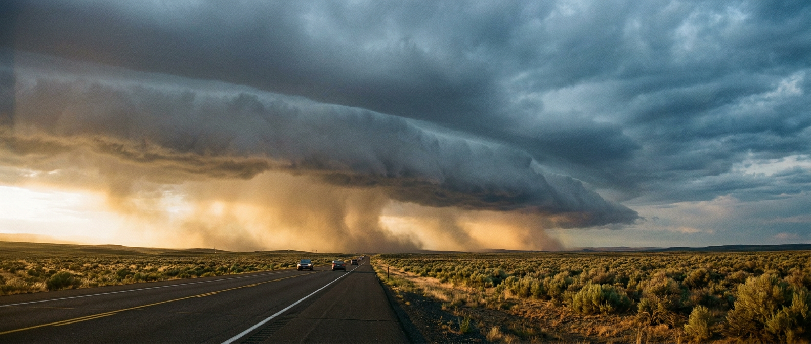
But the Southeast is not the only place dealing with active weather tonight. We have a highly energetic setup in the Pacific Northwest. The Storm Prediction Center has a Slight Risk for severe thunderstorms across parts of Washington, Oregon, and Idaho.
The main concern here is the wind. We have a 15 percent probability area for damaging gusts. More importantly, there is a hatched area inside that zone where winds could reach 75 mph or more. If you live in Spokane or Boise, you might want to bring the patio furniture inside before you go to bed.
The Plains Threat Returns
As we head into Friday and Saturday, that severe weather threat fragments and shifts back toward the Plains. We are looking at a Marginal Risk for places like Oklahoma City, Tulsa, and Wichita.
A southern stream jet streak is going to interact with the dryline. That is a classic recipe for isolated severe storms capable of producing quarter-size hail and 60 mph wind gusts. It is a lower-end threat, but you still need to keep a close eye on the radar if you have outdoor plans to kick off the weekend.
A Treat for Baseball Fans
Speaking of outdoor plans, let's end on some fantastic news. The Blue Jays and Orioles are playing a massive baseball series in Baltimore tonight and tomorrow. I know a lot of folks are searching for tickets and looking forward to the matchup.
If you are heading to Camden Yards, you are getting an absolute treat. We have a massive dome of high pressure sitting over the Mid-Atlantic and Ohio Valley. It is bringing crisp, dry air and clear skies. The weather is quite literally perfect for a ballgame.
It is fascinating how the atmosphere balances out. While the Southeast watches the rivers rise and the Northwest braces for wind, folks on the East Coast get to sit back and enjoy a flawless evening at the ballpark. Keep an eye on your local forecast, especially if you live in those active risk zones.
https://ryanhallyall.com/blog/earthquakes-floods-and-a-perfect-night-for-baseball