Blog Article
East Coast Moderate Risk: Major Severe Storms & Tornadoes Monday
A rare Moderate Risk for severe weather threatens the Mid-Atlantic on Monday. Expect damaging winds and strong tornadoes from North Carolina to Maryland.

East Coast Wake Up Call: A Rare Moderate Risk Threatens the Mid-Atlantic Monday
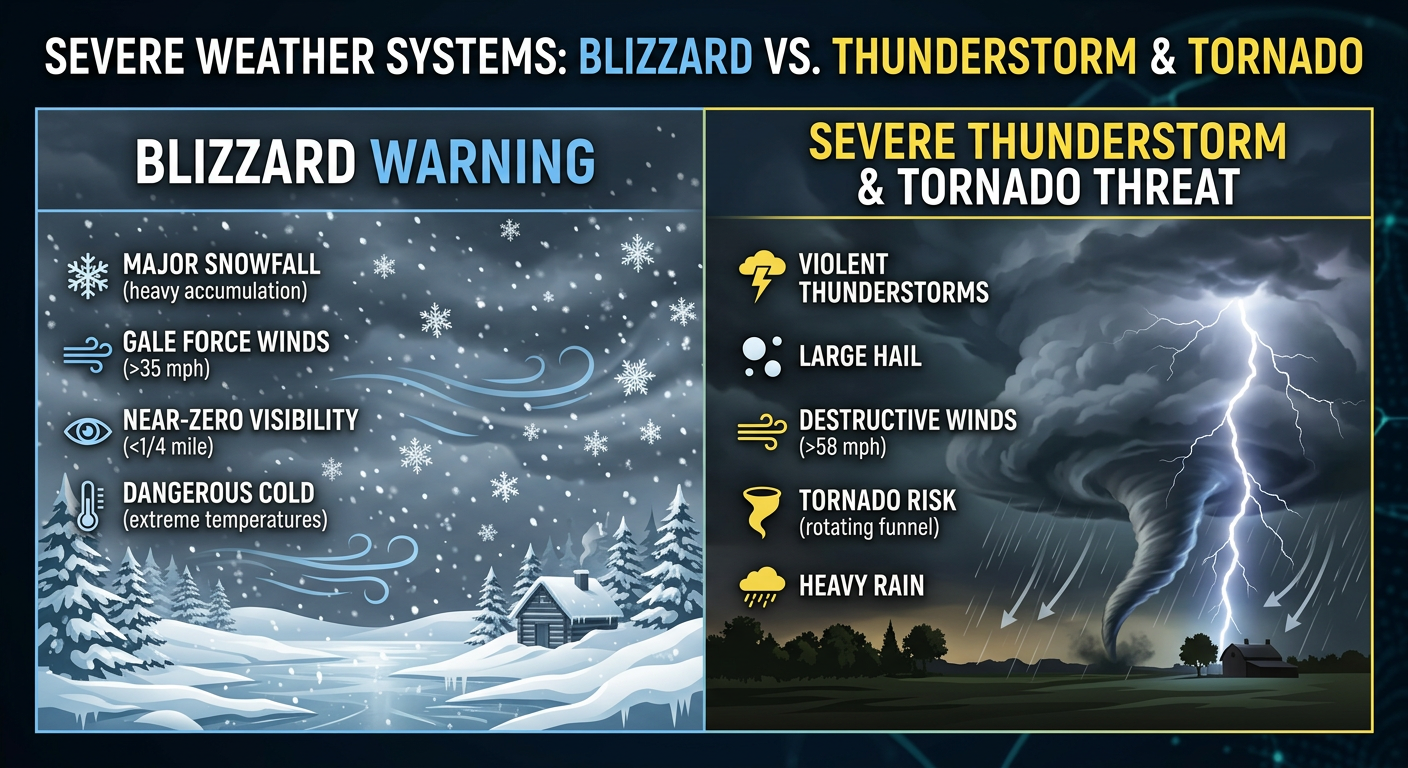
Alright folks, we talked yesterday about the massive storm system messing with our weekend. While a lot of you were watching conference basketball tournaments and waiting on those bracket reveals, this storm was busy dropping blizzard conditions up north and severe storms across the South.
But here is the thing, this system is not done yet. As it shifts east for Monday, things are looking very serious for the Mid-Atlantic. We are seeing a significant escalation in the severe weather threat, and y'all need to pay close attention if you live anywhere near the East Coast.
The Big Story: Monday's Rare Moderate Risk
The Storm Prediction Center has upgraded Monday's forecast to a Level 4 out of 5 Moderate Risk for severe thunderstorms. This zone covers over 12 million people and includes major metro areas like Washington DC, Raleigh, Durham, Richmond, and Baltimore.
Get this, we are looking at a massive 60 percent probability for severe, damaging wind gusts in this area. Even more concerning is the 15 percent hatched risk for tornadoes. The atmospheric setup is showing extreme wind shear, which means these storms will be spinning fast. We are not just talking about brief, weak tornadoes. The data strongly suggests the potential for strong, long-track tornadoes spanning from South Carolina up through Maryland.
Timing and Real-Life Impacts
For folks in Virginia, Maryland, and North Carolina, your Monday morning commute might just feel exceptionally warm and breezy. You might even swing from a jacket morning to keeping the AC running by lunchtime. But do not let that fool you.
By the afternoon and evening hours, a powerful squall line is expected to sweep through. This is going to directly impact afternoon school dismissals and your evening drive home. If you have kids with outdoor sports practices on Monday afternoon, you need to have a backup plan. I would highly recommend leaving early for your evening commute to beat the worst of this line. Trees and power lines will almost certainly come down, leading to widespread power outages across the I-95 corridor.
The Midwest is Still Buried
While the East Coast braces for severe storms, we cannot forget our friends in the Upper Great Lakes. That same system is continuing to produce a historic blizzard. The Weather Prediction Center still has a Moderate Risk for extreme snowfall across parts of Wisconsin, Minnesota, and Northern Michigan.
We are looking at snowfall totals measured in feet, not inches. Rates of 1 to 3 inches per hour combined with howling winds are keeping visibility near zero. If you are in Green Bay, Rochester, or the surrounding areas, travel remains incredibly dangerous. Snow plows and emergency vehicles are already having a tough time navigating the drifts, so please stay off the roads.
What Else We Are Watching
- Sunday Night Severe Threat: Before we get to Monday, the Mid-South and Lower Ohio Valley are still under an Enhanced Risk today and tonight. Memphis, Nashville, Indianapolis, and Louisville need to be ready for widespread damaging winds tonight.
- Critical Fire Danger: Behind this storm system, incredibly dry air and strong winds are creating Critical fire weather conditions across New Mexico and West Texas today. Any spark will spread rapidly.
- Flooding in the Pacific Northwest: A persistent atmospheric river is bringing heavy rain and a Marginal Risk for excessive rainfall to Northwest Washington State over the next few days.
The Bottom Line
If you live in the Mid-Atlantic, Monday is not a day to be caught off guard. You need to swing into full severe weather preparation mode. Have multiple ways to receive warnings that will wake you up or grab your attention over the TV. Charge your phones and battery banks tonight. If a Tornado Warning is issued for your area, know exactly where your safe space is, ideally an interior room on the lowest floor away from windows.
Stay safe out there, y'all.