Blog Article
Edouard Nears Texas Landfall as Karina Hits Category 4
Tropical Storm Edouard closes in on the Texas coast with surge and flood risk, while Hurricane Karina reaches Category 4 near Hawaii. Full forecast breakdown.
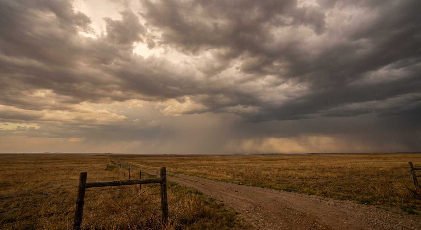
Edouard Closes In On The Texas Coast While Karina Roars To Category 4 Offshore Hawaii
Alright y'all, let's start where the clock is ticking fastest. Tropical Storm Edouard is about 65 miles south-southeast of Cameron, Louisiana this morning, and it's got landfall on its calendar for later today, right around Sabine Pass. We're talking roughly 10 hours out as of this writing. This one snuck up fast, going from a disturbance to a warned system in about a day, and it's still got room to strengthen a bit before it comes ashore.
What This Storm Is Bringing
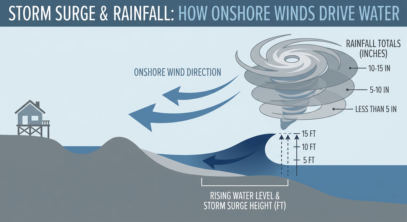
Edouard is a compact system, sustained winds near 40 mph, but don't let the modest number fool you. The National Hurricane Center's discussion this morning noted reconnaissance aircraft found a nascent low-level eyewall trying to form, which is exactly the kind of structure that can help a storm like this squeeze out more organization right before landfall. Storm Surge Warnings and a Hurricane Watch are up for the coast near Galveston Bay, with 3 to 5 feet of surge possible.
The bigger story for most folks inland is going to be rain. WPC has a Slight Risk of excessive rainfall painted over the Upper Texas Coast and far southwest Louisiana today, and there's better than a 70% chance of 5 or more inches falling somewhere in the Houston to College Station corridor. That's the kind of number that turns low-lying roads and small creeks into problems fast, especially with ground that's already had a soggy week thanks to monsoonal flooding out west. If you're in Houston, Galveston, Beaumont, or Lake Charles, today is a stay-off-the-roads-if-you-can-help-it kind of day. The Astros are playing the White Sox tonight at Minute Maid Park, but that's under roof, so baseball's fine. It's your commute you need to worry about.
Houston's normal high this time of year sits around 89°F. With Edouard's cloud cover and rain bands moving through, expect temperatures to run several degrees below that norm today, more soup than heat.
Meanwhile, Two Tropical Systems Are Squaring Off Near Hawaii
While Edouard grabs the headlines on the Gulf, the East Pacific has been busy too. Hurricane Karina strengthened to a Category 4 overnight with 138 mph winds, sitting well southwest of Baja California. It's in open water and expected to track west-northwest, and while it's not a US landfall threat, our impact model flags it as something Hawaii should stay aware of down the road given its track.
Closer to the islands, Tropical Storm Lowell is forecast to become a hurricane sometime today or tonight. It's about 630 miles southeast of Hilo and moving west, and current guidance keeps its closest approach offshore, though it could still bring some rough surf and gusty trade winds to the Big Island by midweek. And out ahead of both of them, Tropical Storm Marie just spun up off southwest Mexico overnight, the newest name on the list, but it's staying well offshore and isn't a direct US concern.
That's three East Pacific systems and one Atlantic storm all active at once. It's been a stacked week in the tropics, and it's not letting up.
Severe Storms and Flooding Rain Farther North and East
Away from the tropics, SPC has a Slight Risk of severe storms up today across the central and northern Plains, the Midwest, and into parts of New York, Pennsylvania, and New Jersey. Damaging gusts are the headline threat, with some hail and an isolated tornado not out of the question. A Marginal Risk stretches into Chicago, Washington DC, Detroit, and Baltimore. If you've got the Braves at Nationals game in DC tonight, keep an eye on the sky, conditions there sit in that marginal zone and a stray strong storm can't be ruled out.
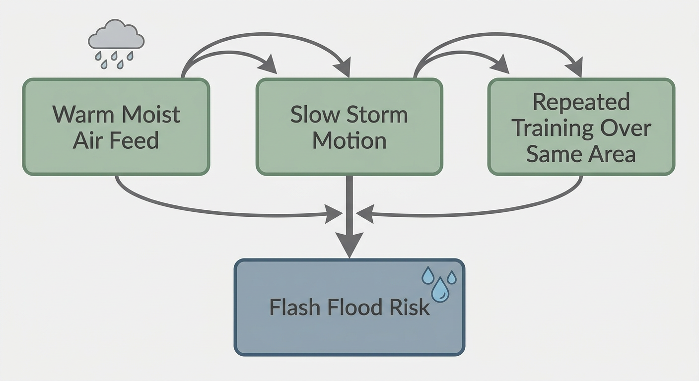
This pattern doesn't move on quickly either. SPC keeps a Slight Risk going Wednesday from the eastern Great Lakes into the Mid-Atlantic, and again Thursday for the Ohio Valley into the Mid-Atlantic coast. WPC also has Slight Risk excessive rainfall out for the Northeast both Wednesday and Thursday, with training thunderstorms possible over upstate New York, northern Pennsylvania, and southern New England. If your outdoor plans this week run through the I-95 corridor, build in a plan B.
What Else We're Watching
- Edouard's landfall timing and intensity right up until it comes ashore near Sabine Pass this evening
- Inland flash flood potential from Houston to College Station as Edouard's remnant moisture lingers into Wednesday
- Karina's Category 4 status and long-range track well south of Hawaii
- Lowell's likely upgrade to a hurricane and any wobble that brings it closer to the Big Island
- The Slight Risk severe weather corridor sliding from the Midwest into the Mid-Atlantic through Thursday
- A weak G1 geomagnetic storm possible late in September, worth a mention for aurora chasers but nothing pressing yet
Bottom Line
If you're anywhere near the Upper Texas Coast or southwest Louisiana, today is about getting through Edouard's landfall and the flooding rain behind it, not the wind. Away from the coast, folks from the Great Lakes into the Mid-Atlantic need to watch the sky through midweek for scattered severe storms and repeated rounds of heavy rain. And out in the Pacific, Karina and Lowell are worth tracking if you've got Hawaii travel on the calendar, even though neither looks like a direct hit right now.