Blog Article
Edouard Flood Risk, Hurricane Lowell Nears Hawaii Sept 2
TD Edouard brings a Moderate flood risk to Texas as Hurricane Lowell, a Cat 4, closes in on Hawaii. Plus a Mid-Atlantic severe wind threat today.
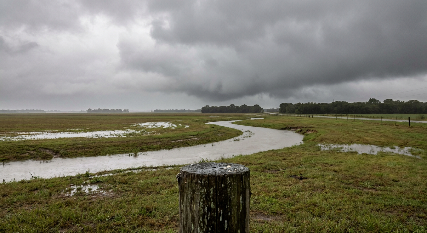
Edouard Winds Down, But Two Cat 4 Hurricanes Are Spinning at Once in the Pacific
Alright y'all, let's start where the water is still rising. Tropical Depression Edouard made its inland turn overnight, and while the wind field has come way down, the rain engine hasn't shut off. That's today's headline, plus a Pacific basin that's genuinely stacked with tropical trouble.
Edouard Is Weaker, But the Flood Threat Isn't Done
Edouard is a depression now, sitting northwest of Beaumont with 35 mph winds, moving north-northwest at a crawl. Recon flew into it yesterday and found it winding down mechanically. But here's the thing about tropical systems after landfall: the wind dies first, the rain dies last. WPC has southeast Texas and southwest Louisiana under a Moderate Risk of excessive rainfall today, their highest category, because backbuilding rain bands keep training over ground that's already soaked from yesterday.
We saw what that combination did on September 1. Beaumont picked up flash flooding bad enough that water got into homes near Major Drive and Tolivar Road, and non-thunderstorm gusts hit 90 mph south of Port Arthur. That's not happening again today with the wind, but WPC's forecast discussion specifically flags another uptick late tonight into Thursday morning as low-level moisture convergence holds on. If you're in Beaumont, Lake Charles, or anywhere along that Piney Woods corridor into northwest Louisiana, do not assume the worst is over just because the advisories dropped a category.
Two Category 4 Hurricanes Are Spinning Right Now
While Edouard fizzles, the Pacific decided to show off. Hurricane Karina is a Category 4 with 144 mph winds well southwest of Baja, an annular hurricane with a clean, symmetrical eye. It's not a US land threat and it's tracking away from anybody who matters to this blog, but 144 mph is 144 mph and it's worth knowing it's out there.
The one to actually watch is Hurricane Lowell. This storm underwent nearly 65 knots of rapid intensification in a single day and is now also a Category 4 with 144 mph winds, several hundred miles southeast of the Big Island. Our impact model has Lowell at a "prepare" level threat for Hawaii Island, with closest approach expected tomorrow, September 3rd, passing roughly 350 miles south of the Kona Coast and Hilo. Lowell isn't forecast to make a direct hit, but at that range with a Category 4, you're still talking life-threatening surf, rip currents, and rough seas building along south and east-facing shores well before the center gets close. If you've got beach plans on the Big Island this week, today is the day to check the latest Central Pacific Hurricane Center advisory, not tomorrow.
And because three wasn't enough, Tropical Storm Marie is spinning up south of Baja California too, forecast to reach hurricane strength later today. Marie stays offshore and isn't a US concern, but four active tropical systems across two basins on the same morning is a genuinely busy tropical map for early September.
Severe Weather Picks Back Up From the Great Lakes to the Mid-Atlantic
Remember yesterday's mess across eastern Pennsylvania, New Jersey, and Delaware? Trees on cars, trees on houses in Mantua, roof trusses busted near New Holland, wires down from Wilmington to Reading. That same general corridor is back in SPC's crosshairs today.
SPC has a Slight Risk posted from the lower Great Lakes into the Mid-Atlantic, covering Philadelphia, Washington DC, Detroit, Baltimore, and Cleveland, with a Marginal Risk stretching into New York City, Milwaukee, and Richmond. The main threat is damaging wind, and SPC has that at a 30 percent probability in the highest-end zone, their Level 3 categorization, with a hatched area suggesting gusts could reach 75 mph or better if a storm really gets going. Hail up to quarter size is possible, and there's a small 2 percent chance of an isolated tornado.
This pattern doesn't quit Thursday either. Day 2 shifts the Slight Risk toward Columbus, Baltimore, and Virginia Beach, with a hatched area again suggesting hail up to 2 inches and gusts over 75 mph are possible in the strongest cells. Day 3 nudges the corridor toward Raleigh and Norfolk. If you're headed to a ballgame today, this matters directly: Nationals fans in DC and Guardians fans in Cleveland are sitting inside today's risk area, and the Pirates-Giants game in Pittsburgh is close enough to keep an eye on radar as evening storms fire.
Washington DC's average high this time of year is 80 degrees, so any storms today will be firing in a warm, humid, late-summer airmass, which is exactly the kind of setup that can support strong wind gusts once a line organizes.
What We're Watching
- Edouard's remnant rain bands overnight into Thursday morning across eastern Texas and southwest Louisiana, Moderate excessive rainfall risk today
- Hurricane Lowell's closest approach to Hawaii Island tomorrow, September 3rd, bringing dangerous surf even without a direct hit
- Damaging wind gusts today across the lower Great Lakes into the Mid-Atlantic, with a hatched 75+ mph area embedded in the Slight Risk
- A repeat severe threat Thursday sliding from the Upper Midwest into the Ohio Valley and Mid-Atlantic
- A quiet, mostly settled space weather pattern through early September, with the next real geomagnetic storm chance not until late in the month
Bottom Line
If you're anywhere from Beaumont to Lake Charles, don't let go of your flood awareness just because Edouard got downgraded. The rain threat is arguably more dangerous today than the wind was yesterday. In Hawaii, Lowell doesn't need to make landfall to make waves, literally, so stay off exposed rocks and pay attention to surf advisories through tomorrow. And from Detroit to DC, keep half an eye on the sky this afternoon and evening. Yesterday's storms in Pennsylvania and New Jersey were a preview, and today's setup is built the same way.