Blog Article
Lowell Eyes Hawaii, Edouard's Flood Risk Lingers in Texas
Category 4 Hurricane Lowell tracks toward Hawaii while Edouard's remnants bring more flood risk to Texas. Plus today's Slight Risk severe weather from Chicago to DC.

Edouard's Flood Threat Lingers in Texas While Category 4 Lowell Takes Aim at Hawaii
Alright y'all, let's start where the real danger is right now, then work our way out to what's coming.
Edouard Isn't Done With Texas Yet
We talked about this system stalling out over Hardin and Tyler counties, and if you saw yesterday's numbers, you know why we're still watching it. Storm totals of 10 to 21 inches fell in Southeast Texas, with 17.19 inches measured near Thicket and over 12 inches near Warren. That's the kind of rain that turns a Flash Flood Warning into a Flash Flood Emergency, and it did, twice, in Hardin County alone.
Edouard is now a Potential Tropical Cyclone remnant sitting southeast of Dallas, drifting northwest at just 5 mph. Slow movement plus lingering tropical moisture means WPC has a Moderate Risk of excessive rainfall posted for portions of eastern Texas today, the highest category on their scale below High. The Moderate Risk may get trimmed back with this afternoon's update, but WPC is blunt about it: expect a locally significant flash flood risk to continue through the day across the Piney Woots and Gulf Coast.
If you're in Houston, Beaumont, Lake Charles, or anywhere along that I-10 corridor, keep half an eye on the sky even though the worst of the tropical rain has moved inland. Storm drains and low-water crossings are still working through a week's worth of saturated ground.
Hurricane Lowell: A Cat 4 With Hawaii's Attention
Here's the headline for the Pacific. Hurricane Lowell intensified to Category 5 strength yesterday with 160 mph winds, and while it's backed off slightly to a Category 4 with 144 mph winds this morning, NHC's discussion is clear that Lowell should stay a major hurricane for several more days. It's currently about 450 miles south of Hilo, moving west at 10 mph, and the forecast track has it edging closer to the islands over the next five to six days.
Our impact model has Kauai's south, north, and east shores in a "prepare" posture, with the closest approach expected in about 5.5 days at a distance of roughly 140 to 160 miles. The current closest-approach projection puts Lowell passing about 66 kilometers from Kauai's south shore late next week at an estimated intensity near 105 mph. That's an experimental model and the track can and will shift, but it's exactly the kind of setup where you don't wait until day four to think about it.
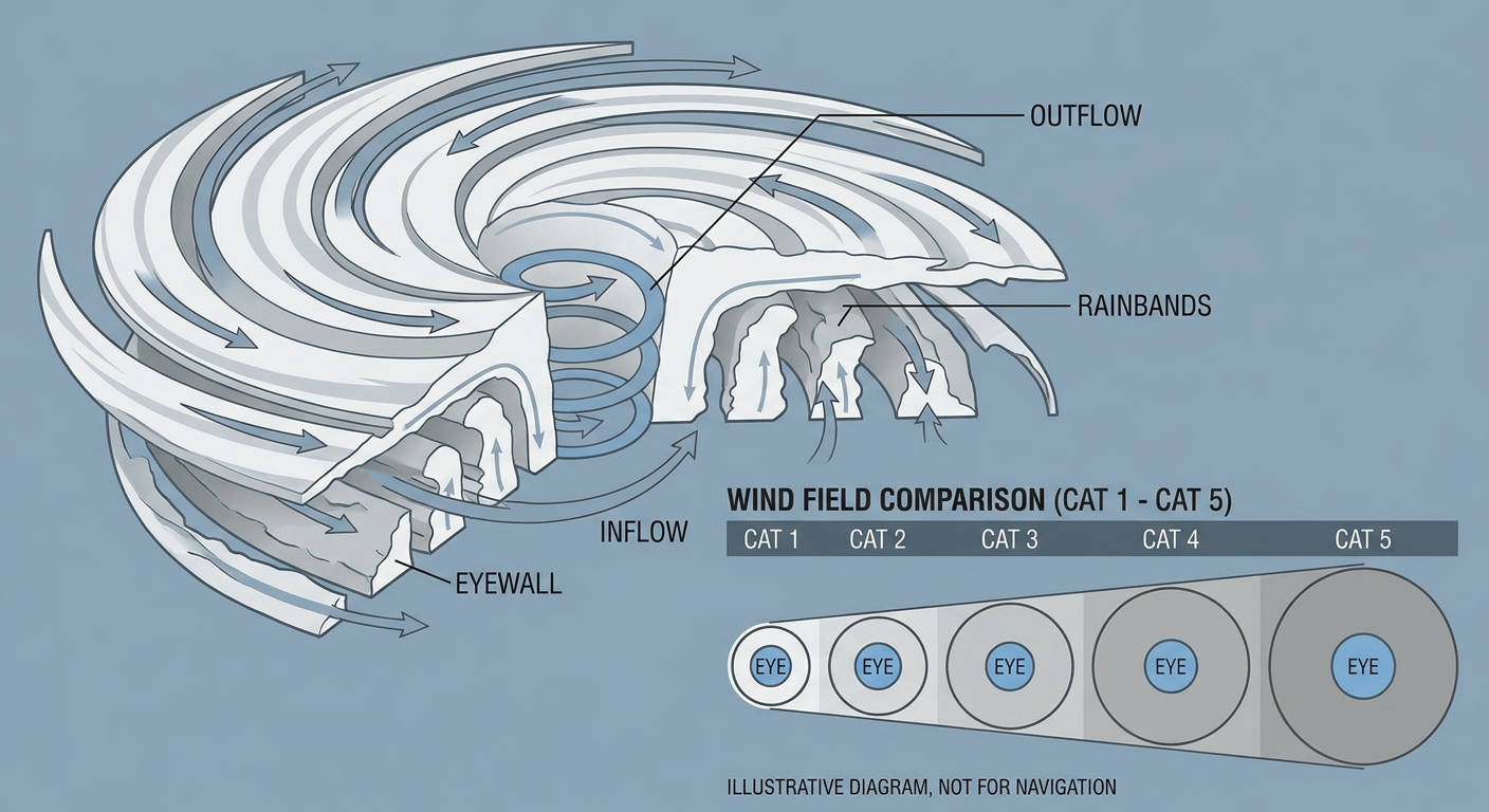
Two more storms are churning out there for context. Hurricane Karina, a Category 3 with 121 mph winds, is well east of Hawaii and mostly a "watch it, don't worry about it yet" situation for Maui's east coast. Hurricane Marie just got upgraded to Category 1 southwest of Baja California and is forecast to gradually strengthen, but she's staying offshore of Mexico for now. There's also a broader area of low pressure off southwestern Mexico that NHC gives a 40% chance of development over the next week. Busy basin. We'll keep tracking all of it.
Today's Severe Weather: Slight Risk From Chicago to DC
Back on the mainland, SPC has a Slight Risk of severe thunderstorms up today across the southern Great Lakes into the Mid-Atlantic, catching Chicago, Columbus, Detroit, Baltimore, and Washington DC. The setup is scattered strong-to-severe storm development through the day and into tonight, with a few clusters capable of organizing.
The main threat is damaging wind, with SPC putting a 15% probability on scattered damaging gusts in the higher-end zone. Hail is the secondary concern, and there's a small hatched area where 2-inch hail is possible if a storm really gets going. Tornado risk is low, just 2%, isolated at best.
If you're catching an Orioles game at Camden Yards tonight or heading out to a ballgame in Chicago, keep the weather app handy. Same goes for anyone flying through EWR, LGA, or JFK this afternoon, since the SPC outlook overlaps with fog-related delays already piling up in the Northeast this morning.
Friday and Saturday: The Threat Slides South
By Friday, the severe risk shifts into the southern Mid-Atlantic and central Appalachians. SPC's Day 2 Slight Risk covers Richmond, Roanoke, Norfolk, Virginia Beach, and Raleigh. The setup involves a midlevel impulse running into a humid boundary, with afternoon temperatures near 90 degrees and dewpoints near 70. That's about 8 degrees above the September norm for Raleigh, where the average high is 82. Combine that heat and humidity with 2,000 J/kg of instability and 20 to 40 knots of shear, and you've got enough juice for scattered multicells, a line segment or two, and an isolated tornado threat.
Saturday, the Slight Risk holds over North Carolina, northern South Carolina, and extreme eastern Tennessee, with Charlotte, Raleigh, Asheboro, and Asheville in the footprint. If you've got tickets to the Wake Forest game in Winston-Salem Thursday night, that's actually ahead of this Friday-Saturday risk window, so you should be fine there, but outdoor plans in the Carolinas this weekend are worth watching closely.
What We're Watching
- Edouard's remnant moisture: Moderate Risk of excessive rainfall today across eastern Texas, trending down but not gone
- Hurricane Lowell: Category 4 now, forecast to stay a major hurricane, closest approach to Kauai in about 5.5 days
- Severe weather corridor: Slight Risk today from Chicago to DC (wind and hail primary), shifting to Virginia/Carolinas Friday-Saturday
- Fire weather: Elevated conditions returning to the northern High Plains Friday as winds pick up around Idaho
- Space weather: Quiet through the weekend, with a minor G1 storm possible September 25-26, nothing to plan around yet
Bottom Line
If you're in East Texas or Southwest Louisiana, don't let your guard down on flooding just because Edouard isn't a named storm anymore. In Hawaii, Lowell is a legitimate multi-day watch item, especially for Kauai, and it's early enough to make sure you've got your hurricane kit squared away. For the rest of us in the Great Lakes, Mid-Atlantic, and Carolinas, this is a garden-variety Slight Risk severe weather week: nothing extreme, but enough wind and hail potential that outdoor plans Thursday through Saturday deserve a weather check before you head out the door.