Blog Article
Enhanced Risk: Severe Storms Threaten NYC, Philly, DC Tonight
SPC Enhanced Risk covers 52M people from DC to Cleveland to NYC today with damaging wind and isolated tornado threats. Here's the timeline and impacts.
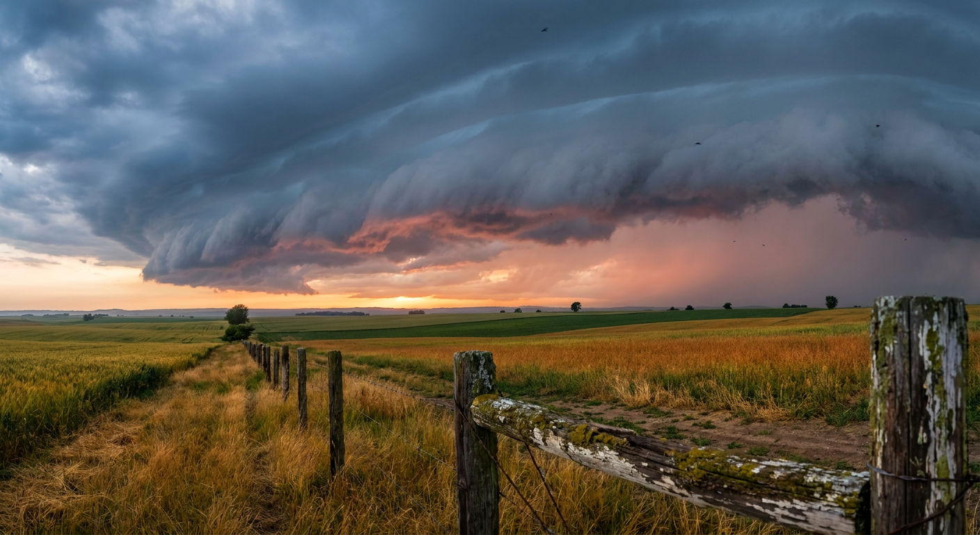
Enhanced Risk Day: Severe Storms Take Aim at the I-95 Corridor Tonight
Alright folks, we talked yesterday about a rowdier setup building for the weekend, and here it is. SPC has an Enhanced Risk of severe thunderstorms posted today for a swath running from the Ohio Valley and Lower Great Lakes into the Mid-Atlantic and Northeast. We're talking about 133,000 square miles and 52.6 million people inside that Enhanced zone alone, with New York, Philadelphia, Washington DC, Baltimore, and Cleveland all sitting in the bullseye.
What's driving this
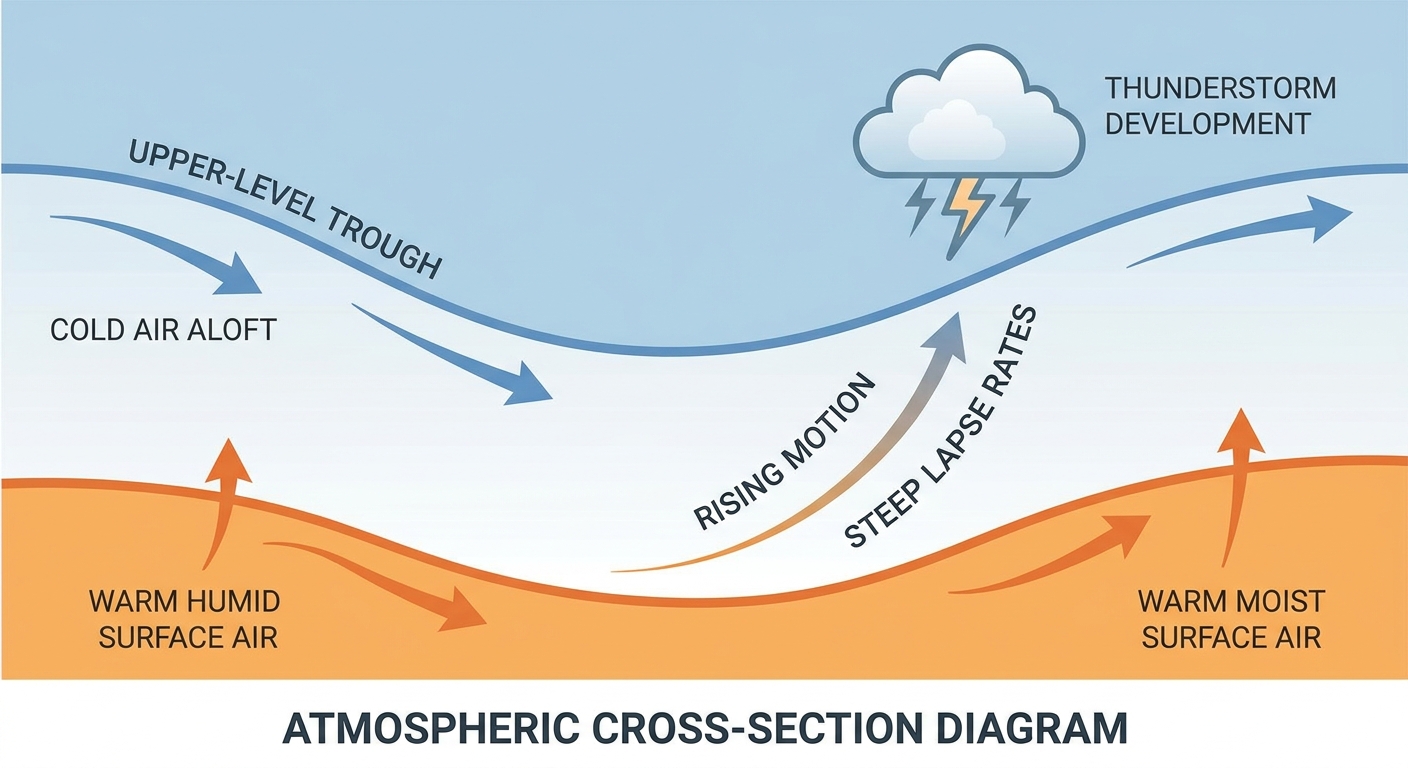
The headline here is an unseasonably strong upper trough. That's SPC's own language, and it matters because it means we've got winter-strength dynamics riding on top of a summer air mass. That combination, cool energy aloft plus warm humid air at the surface, is exactly what you need to spin up organized, fast-moving severe storms in the middle of July.
The wind numbers are the story today. SPC has a 45% probability of widespread damaging wind gusts, that's a Level 4 on their scale, which is about as high as this category gets outside of a truly extreme setup. Hail chances are lower, only a 5% isolated severe hail risk, so this is not shaping up to be a hail day. Tornadoes are on the table too. It's a 5% Level 2 tornado probability, and there's a hatched zone inside that where any tornado that does form could reach EF2 strength. That's not the headline threat, but it's not zero either.
Timeline and who's affected
This fires up this afternoon and runs into the evening, with SPC noting the threat could linger into late tonight, especially across the Mid-Atlantic and Northeast. The Enhanced Risk corridor covers the Ohio Valley into the Lower Great Lakes first, then pushes into the Mid-Atlantic and Northeast as the afternoon goes on. A broader Slight Risk wraps around that core, adding Columbus, Indianapolis, Charlotte, Detroit, and Raleigh into the mix, and a Marginal Risk extends out to Chicago and Boston.
Here's the real-world piece. Tonight's Mets-Phillies game in Philadelphia and the Dodgers-Yankees game in the Bronx both sit right inside that Enhanced Risk window. If you've got tickets, keep an eye on the sky and don't be surprised by a delay. Boston's Red Sox-Rays game is in the Marginal zone, so lower odds of disruption there but not impossible.
And then there's the bigger picture. The World Cup Final is tomorrow in East Rutherford, New Jersey, and a lot of folks are traveling into the region today to get there. The good news is SPC's Day 2 outlook, which covers tomorrow, shifts the severe threat away from New Jersey entirely, focusing instead on North Carolina into southeast Virginia and the Northern Plains near Bismarck. So if you're headed to the Final, today's the day to watch for delays getting in, not tomorrow.
Other things on our radar
We're still not done talking about flash flooding this month. WPC has a Slight Risk of excessive rainfall today across West Texas, southern New Mexico, Arizona, and the southern Great Basin, a direct continuation of the monsoon pattern that's been hammering the Southwest all week. Remember Ruidoso, New Mexico, and the Green Valley area near Tucson from yesterday's flash flood reports? Same moisture, same terrain, same risk today. That threat holds into Sunday and Monday too, expanding into the Four Corners and picking up New Mexico's slot canyons and the Mogollon Rim, an area burn scars make especially vulnerable.
Tropically, there's not much to worry about yet. We've got a couple of weak invests spinning in the Central and Eastern Pacific, both around 25 knots and far from any US coastline. There's also a low-risk disturbance in the Atlantic near the Florida Gulf Coast, only a 10% chance of development in two days and 30% through the week. It's tied to an upper low that's already been dumping heavy rain on the Florida Gulf Coast, so even without a named system, keep an umbrella handy down there.
Space weather stays boring, which is exactly what we want. SWPC has the geomagnetic field quiet to unsettled with no storming expected through mid-August. Nothing to see there.
Key things to watch
- Enhanced Risk (Level 3) for damaging wind, hail, and isolated tornadoes across NY, PA, DC, MD, and OH this afternoon into tonight
- 45% probability of widespread damaging wind gusts, the headline threat today
- Evening MLB games in Philadelphia and the Bronx fall inside the highest-risk window
- Continuing Southwest monsoon flash flood threat, Slight Risk again today across AZ, NM, and West Texas
- World Cup Final travel into New Jersey tomorrow looks clear of severe weather based on the current Day 2 outlook
- Weak, low-risk tropical signals in the Atlantic and both Pacific basins, nothing imminent
Bottom line
If you live anywhere between DC and Cleveland up through New York, today's a day to have a way to get severe weather alerts, whether that's a phone app or a NOAA weather radio. The wind threat is the one to respect most, gusts over 60 mph can bring down trees and power lines even without a tornado warning attached. If you've got outdoor plans tonight, ballgame or otherwise, keep one eye on the radar and know where you'd go if a warning comes through. Out west, the monsoon flooding threat isn't going anywhere either, so if you're near a wash or a burn scar in Arizona or New Mexico, treat today like yesterday and the day before that. This pattern's been consistent, and consistent means you should already know the drill.
https://ryanhallyall.com/blog/enhanced-risk-day-severe-storms-take-aim-at-the-i-95-corridor-tonight