Blog Article
Enhanced Risk: Chicago to Ohio Valley Face Severe Storms Today
SPC posts Enhanced Risk for Chicago, Milwaukee, Indianapolis with 75+ mph gusts possible today. Threat shifts to Carolinas and Mid-Atlantic Tuesday.
Enhanced Risk Targets Chicago to the Ohio Valley Today, Threat Slides East Tomorrow
Alright y'all, we're picking up right where yesterday left off. That MCS that rolled a 92 mph gust through Tea, South Dakota and then plowed trees and power lines across western Kentucky, southern Illinois, and into Virginia overnight? That was just the opening act. SPC has today penciled in as another organized severe weather day, and this time the bullseye sits right over some of the biggest population centers in the Midwest.
The Setup
SPC has an Enhanced Risk (level 3 of 5) posted from the Upper Midwest and upper Great Lakes into the Ohio Valley. That includes Chicago, Milwaukee, Madison, Indianapolis, and Toledo, and it covers about 27 million people. Wrapped around that is a broad Slight Risk stretching into Columbus, Detroit, Louisville, and Cleveland, and a Marginal Risk that fans all the way out to New York, Philadelphia, DC, and Nashville.
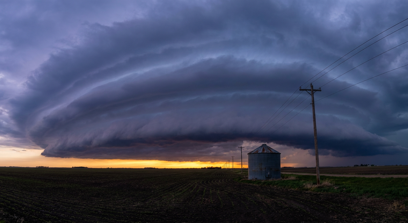
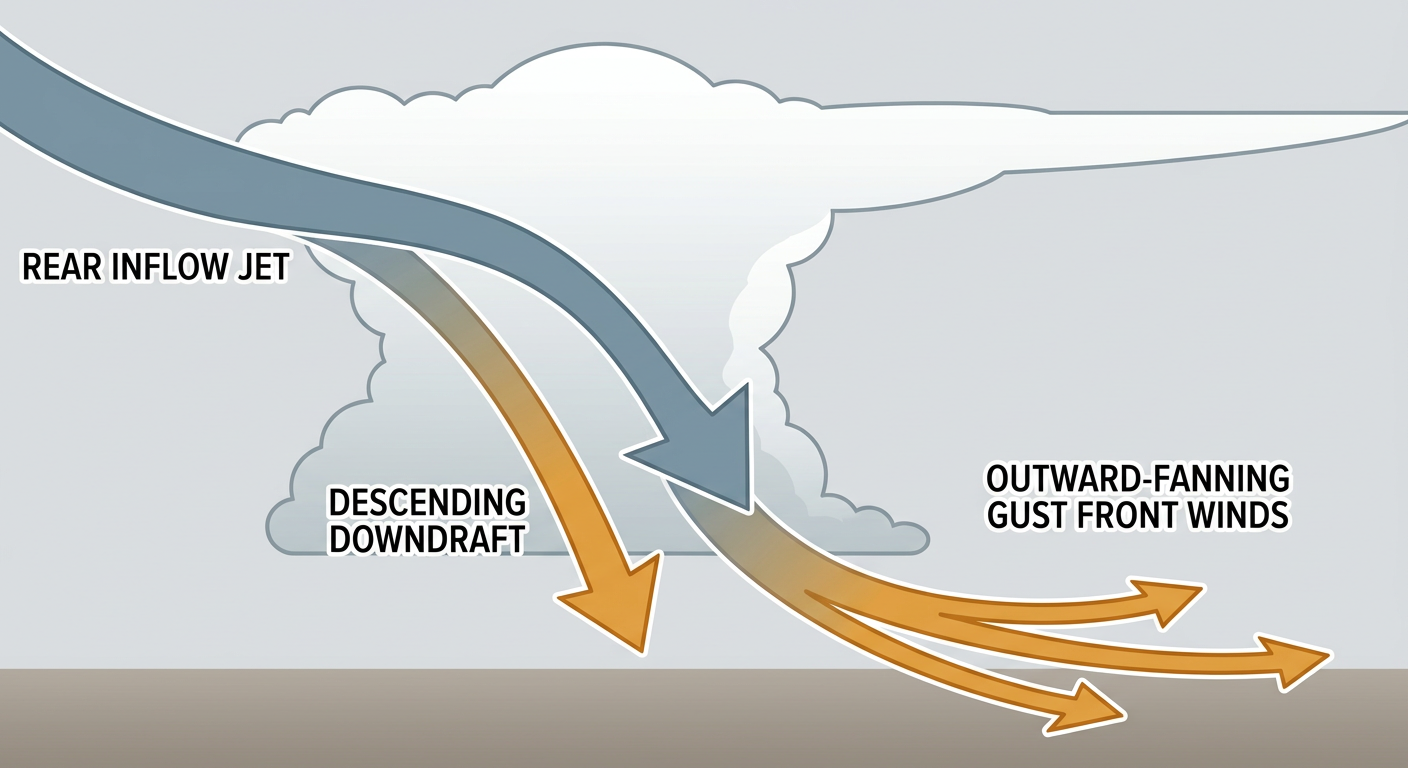
Here's the thing about today's setup: it's not really about tornadoes. SPC only has a 2% isolated tornado threat penciled in. This is a wind day. The wind probability climbs to 30% (numerous damaging wind threat) over the Enhanced Risk zone, and there's a hatched area inside that where gusts could hit 75 mph or better. That's derecho territory if storms organize into a bowing line, which is exactly the kind of evolution the SPC discussion is watching for as this system tracks into the Ohio Valley tonight. Large hail up to quarter-size and bigger is also on the table, with a smaller pocket of 2 inch hail potential where storms stay more discrete before they merge.
Out on the western flank, there's a separate Slight Risk across southwest South Dakota, western Nebraska, northeast Colorado, and far northwest Kansas, mostly tied to a corridor of stronger surface winds pivoting around the western ridge.
Timeline and Who's In the Path
Storms should start firing this afternoon across the Upper Midwest and intensify as they track east through the evening and overnight hours into the Ohio Valley, the same general track yesterday's system followed. If you've got outdoor plans in Chicago, Milwaukee, or Indianapolis tonight, keep an eye on the sky. That includes a full slate of baseball: Yankees at White Sox in Chicago, Orioles at Tigers in Detroit, and Guardians at Reds in Cincinnati are all first-pitch tonight inside or near today's risk corridor. None of those games are locks to get rained out, but a line of storms rolling through during the evening window is a realistic scenario for at least a delay.
Tuesday, the whole show packs up and moves east. SPC's Day 2 outlook has a Slight Risk from the southern Mid-Atlantic into the Carolinas and the central and southern Appalachians, covering Philadelphia, Charlotte, DC, Baltimore, and Raleigh, about 37 million people. A surface low deepening over the Delmarva could bring a bit more organized shear into that setup, which is why SPC is watching for an isolated tornado threat near that low in addition to the damaging wind and hail risk. Nats fans in DC, keep that Tuesday game on your radar too.
Rain and Flooding Side of the Story
WPC has today's excessive rainfall risk at Marginal across the Four Corners into the central Plains and Great Lakes/Ohio Valley into the Northeast, so this is mainly a wind and hail event, not a flash flood event, at least today. That changes some by Tuesday, when WPC bumps a Slight Risk into the northern Mid-Atlantic and southern New England, with 2 to 4 inch rainfall totals possible as a coastal low takes shape. Worth noting, our AI monitoring also flags a Tampa Bay flash flood risk building for Tuesday with potential for up to 6 inches from repeating thunderstorms, something to watch separately from the severe weather corridor up north.
Space Weather, Briefly
Nothing alarming here, but SWPC has a weak CME from July 24th expected to graze Earth's magnetic field late today into Monday night, with a chance of G1 (Minor) geomagnetic storm levels. That's aurora-photographer news, not a public-safety item. There's also a separate minor storm watch for August 19th in the 27-day outlook, three weeks out and low-stakes at this range.
Key Factors We're Watching
- Whether Enhanced Risk holds or expands as storms organize through the afternoon over IL/WI/IN
- Timing of the line's arrival in Chicago, Detroit, and Indianapolis relative to tonight's MLB games
- Whether Tuesday's Delmarva surface low deepens enough to sharpen the isolated tornado threat near DC and Baltimore
- Tampa Bay's separate flash flood setup building into Tuesday
- Continued fire weather concern in the northern Sierra and northern Rockies where gusty, dry southwest flow persists
Bottom Line
If you live anywhere from Chicago to Toledo to Indianapolis, have a way to get severe weather alerts tonight. This is a wind and hail threat first, with damaging gusts up to and beyond 75 mph possible in the hatched zone, similar in character to what tore through Kentucky and southern Illinois overnight. Tuesday, that same style of threat slides into the Carolinas and southern Mid-Atlantic, so folks around Charlotte, Raleigh, and DC should watch the forecast update Monday night. Everybody else from New York to Nashville is in the broader Marginal zone today, low probability but not zero, so it's still worth keeping half an eye on the radar if you've got evening plans outside.