Blog Article
Florida Severe Weather: Heat Fuels Saturday Storm Threat
Record heat impacts the Miami Grand Prix while a cold front brings a Slight Risk of severe thunderstorms and 60 mph winds to North Florida this Saturday.

F1 Heat and a Weekend Squall Line: Florida's Weather Whiplash
Hey y'all. The Crypto.com Miami Grand Prix is running this weekend. If you follow Formula 1, you know track temperature is everything. Teams obsess over tire degradation and grip. Well, the atmosphere in South Florida is giving them a real test today. We are looking at near-record heat with highs in the mid-90s. For context, Miami usually tops out around 87 degrees in early May.
That heat is doing more than just cooking the asphalt. It is acting as high-octane fuel for a weather system that is about to sweep across the state.
The Setup
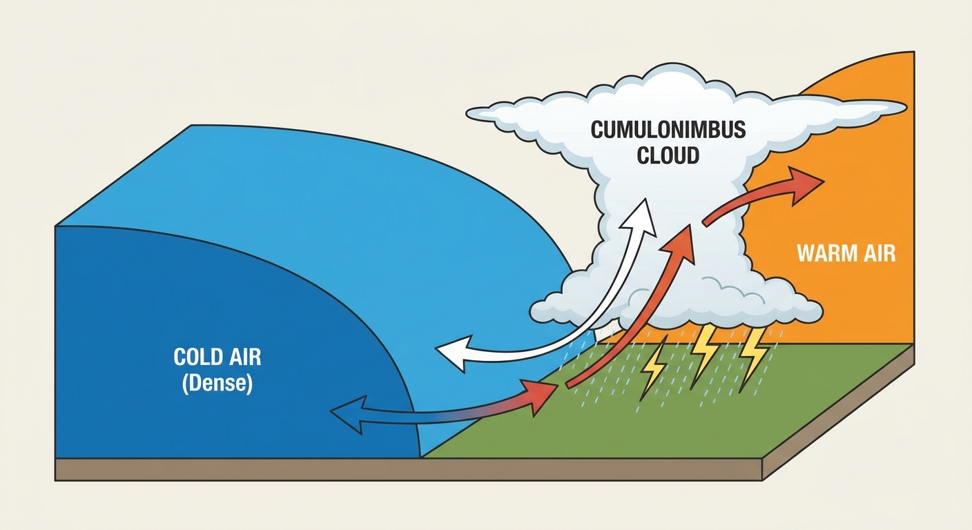
We have a strong cold front slowly working its way across the Deep South. Out ahead of it, Florida is baking. The air is dry enough right now that we have elevated fire weather concerns across the peninsula today.
Behind that front, things are completely different. The Southern Plains are getting a massive break. Dallas and Houston are dropping 10 to 15 degrees behind the boundary. They are heading into a beautiful, dry weekend with incredibly comfortable air.
But right along that collision zone, things are going to get messy.
Saturday's Squall Line
The Storm Prediction Center has outlined a Slight Risk for severe thunderstorms on Saturday. That is a Level 2 out of 5. The focus is on South Georgia and North-Central Florida. If you live in Jacksonville, Tallahassee, or Gainesville, you need to pay attention tomorrow.
Here is what the data shows. A strong low-level jet is going to interact with that hot, unstable air. We expect a squall line to develop and push southward.
- Damaging Winds: This is the main threat. We could see wind gusts between 40 and 60 mph.
- Isolated Tornadoes: The wind shear is strong enough to spin up a few quick tornadoes along the leading edge of the line.
- Heavy Rain: The Weather Prediction Center has a Marginal Risk for excessive rainfall in the Southeast on Saturday.
The line of storms will weaken a bit as it moves south toward Tampa and Orlando later in the day, but it will still pack a punch.
What It Means For You
If you are heading out to the Von Brewski Beer Fest in Huntsville tomorrow, or hitting up any outdoor events across the South, check the radar before you leave the house. The front is moving, but the timing dictates your outdoor plans.
For folks in Florida, enjoy the heat today but secure your loose patio furniture tonight. The transition from record heat to a gusty squall line is going to be sharp. Have a way to get warnings on your phone that will wake you up if a storm rolls through early.
https://ryanhallyall.com/blog/f1-heat-and-a-weekend-squall-line-floridas-weather-whiplash