Blog Article
Isaias Threatens Gulf Coast Festival Weekend
Tropical Storm Isaias is strengthening into a hurricane right as Gulf Coast festival season peaks. Here's what it means for New Orleans and Alabama.
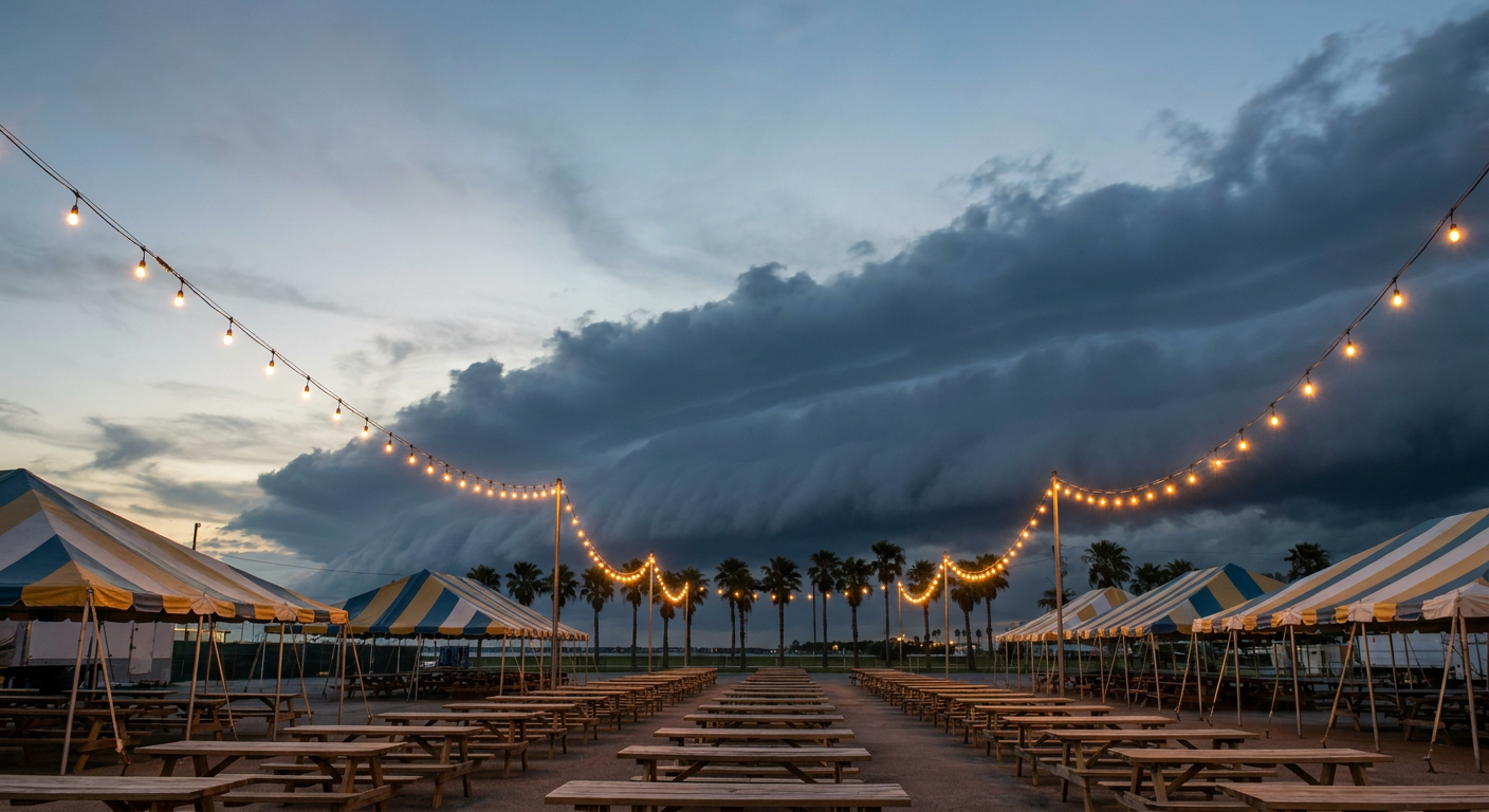
Fair Season and Hurricane Season Are About to Collide on the Gulf Coast
Alright folks, here's the thing about living on the Gulf Coast in October. Your calendar's got two seasons stacked right on top of each other, and this week they're about to shake hands whether you like it or not.
Tonight, Montgomery's got Taste of the Fair going on. This weekend, New Orleans rolls out the National Fried Chicken Festival, and if you know anything about that event, you know it's shoulder to shoulder, open air, built for a warm fall afternoon. Meanwhile, out in the Gulf of Mexico, Tropical Storm Isaias is doing something that should get your attention: it's strengthening fast, and it's aimed right at the stretch of coastline between Louisiana and the Florida Panhandle.
The Storm Nobody Was Talking About Three Days Ago
Isaias didn't exist a week ago. It was Invest 92AL, a blob of disorganized moisture drifting in the southwestern Gulf. Now it's a 63 mph tropical storm with a central pressure of 994 millibars, and the National Hurricane Center expects it to be a hurricane by Thursday morning. That's a fast turnaround, and it's happening because the Gulf water out there is warm and the upper level winds aren't shearing the storm apart. When a tropical system gets that combination, it eats and grows.
The current forecast has Isaias reaching Category 2 strength, something near 105 mph, as it closes in on the coast late Friday. A Hurricane Watch now stretches from Dauphin Island, Alabama, to Navarre, Florida. That's Mobile Bay, Gulf Shores, Orange Beach, Pensacola Beach. The odds of 39 mph or higher winds in that zone sit at 60 to 70 percent. That is not a coin flip you want to ignore.
New Orleans sits in a gentler category right now, a Tropical Storm Watch with up to a 1 in 10 chance of those same winds. Lower risk, but the Fried Chicken Festival runs right through Friday, which is exactly when outer rainbands could start reaching into southeast Louisiana.
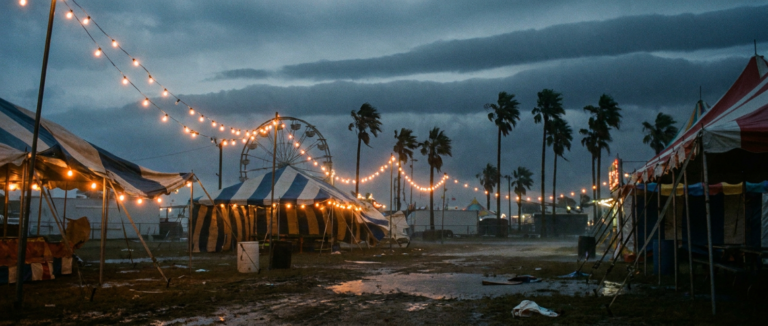
Why Montgomery's Fair Might Feel It Before New Orleans Does
Here's the twist. The Storm Prediction Center has already flagged a marginal risk of severe thunderstorms late Friday into Friday night, stretching from Tallahassee through Bay Minette, Brewton, and Gulf Shores, Alabama. That's ahead of Isaias's main circulation. Outer bands from a strengthening tropical system often fire off isolated tornadoes well inland of the core, especially over the eastern side of the storm's track. So even areas that never get a drop of surge or a gust over 60 mph can still catch a spin-up storm with rotation.
The Weather Prediction Center has also bumped its excessive rainfall outlook for Friday into Saturday up to Moderate risk, covering Mobile, Andalusia, and Brewton, Alabama. That's the highest tier WPC issues short of high risk, and it means flash flooding is a real concern on top of the wind threat.
This isn't coming out of nowhere either. If you've been following along this week, you already know Florida just got hammered. Gadsden County picked up over 9 inches of rain Monday into Tuesday, Jacksonville Beach saw nearly 6 inches, and Charleston Harbor hit a tide of 7.41 feet that flooded downtown streets. The ground across the Southeast is already saturated. Isaias is arriving into a region that's had no time to dry out.
Putting the Numbers in Context
Normal early October highs in Mobile run in the upper 70s to low 80s, and New Orleans averages 81 for a high this time of year. Neither city is dealing with unusual heat right now. The story isn't temperature at all. It's wind, surge, and rain stacking up on top of festival season, which is exactly when Gulf Coast towns plan their biggest outdoor crowds.
The West Coast Footnote
Out in the Pacific, Hurricane Rachel is a Category 1 storm spinning several hundred miles off Baja California, and San Diego sits in what the forecast models call an "Aware" tier, just a 5 to 10 percent chance of 39 mph winds by Saturday evening. If you've got plans for the Niteharts Festival in San Diego this Friday, this is genuinely a footnote, not a forecast changer. Keep an eye on it, but don't lose sleep.
The Takeaway
If your weekend plans involve standing in a crowd somewhere between Mobile and New Orleans, this is the week to actually check the forecast before you leave the house, not after you're already in line for fried chicken. Isaias is strengthening fast, the Hurricane Watch is real, and the ground underneath those festival grounds is already soaked from a week of heavy rain. Fair season and hurricane season just met. Plan like it.