Blog Article
Severe Storms Meet Fair Season Over Oklahoma Tonight
A Slight Risk of severe storms targets Tulsa and Muskogee tonight while Dallas sits under a Marginal Risk. Here's what it means for your Sunday plans.
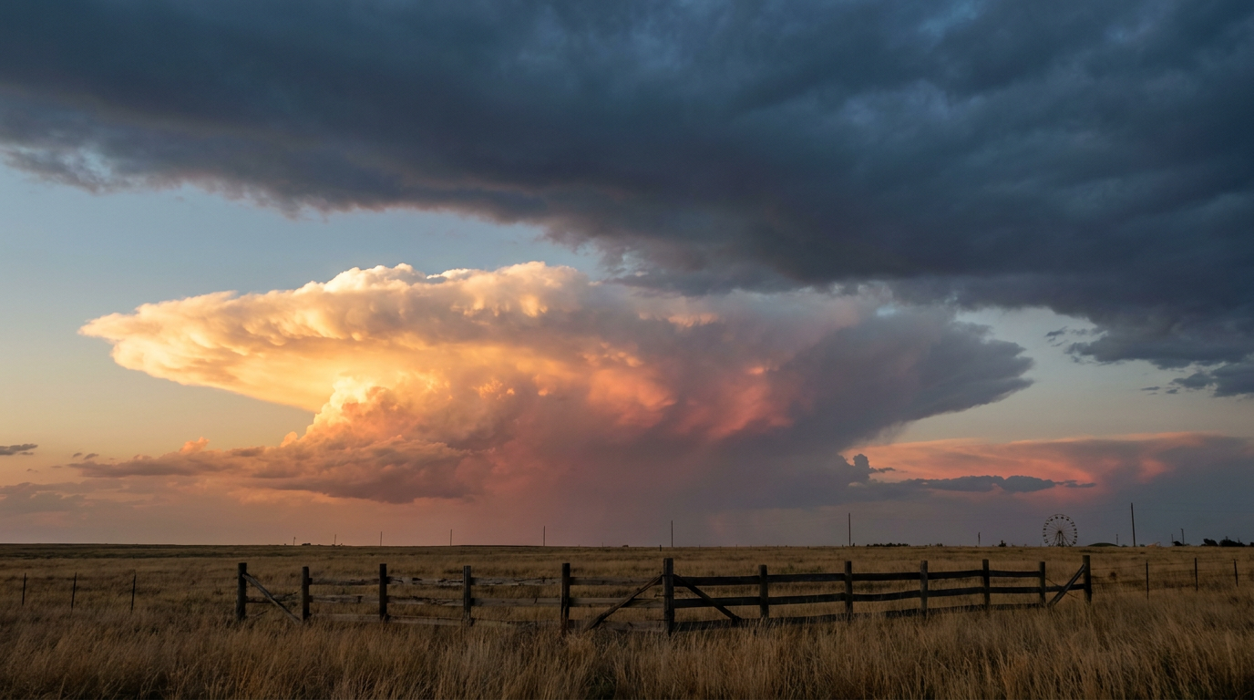
Fair Season, Football Sunday, and a Slight Risk Lining Up Over Oklahoma
Alright folks, here's the scene tonight. Football's on every TV in the house, the Oklahoma State Fair just wrapped up a big run through Oklahoma City, and somewhere out on I-44 there's a family driving home from the fairgrounds checking the sky the same way you're checking your phone for score updates. That's the setup for tonight, and it's a good one to walk through.
The Slight Risk Sitting Over Tulsa and Muskogee
SPC has a Slight Risk of severe storms up tonight across central and eastern Oklahoma, stretching into eastern Colorado and far western Kansas. Tulsa and Muskogee sit right in the bullseye, along with Akron, Burlington, and Cheyenne Wells over on the Colorado side. Almost 1.9 million people are inside that Slight Risk box.
What's actually going on up there? A surface cold front is sagging into the Plains, and it's meeting up with a warm, moist airmass that's been feeding off the Gulf all week. Where those two collide, you get thunderstorms with real teeth: SPC has a 15% chance of scattered damaging wind gusts over 60 mph, and a 15% chance of scattered severe hail an inch or bigger, with a small hatched pocket where hail could reach two inches. There's also an isolated tornado threat, sitting at 2%, which is low but not zero.
Dallas and Fort Worth are one notch down, sitting under a Marginal Risk this evening. That matters if you had plans to tailgate before kickoff, because Marginal Risk still means isolated severe gusts and hail are possible, just over a smaller slice of real estate and with lower odds. Cowboys fans watching Washington roll into town for that Week 2 matchup should keep half an eye on the sky through the evening hours, especially if storms fire up along that same frontal boundary drifting south.
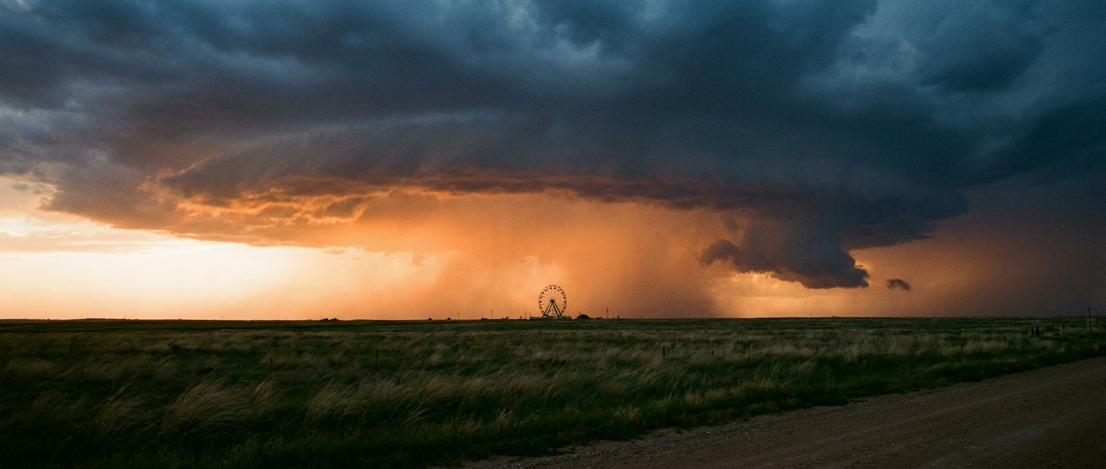
Monday's Risk Slides East, Toward the Music City Crowd
Come Monday, SPC shifts the Marginal Risk east into Mississippi, the Tennessee Valley, and the central and southern Appalachians. That puts Nashville, Birmingham, Atlanta, and Huntsville under a lower-end severe threat, mainly isolated damaging gusts near 60 mph as that same front finally clears the Plains and works into a moist airmass with dewpoints in the mid-60s to lower 70s. It's not a big outbreak setup, more of a pulse-storm, hit-or-miss kind of day. But if you're headed to a Monday night show in Nashville or a late tailgate in Atlanta, isolated gusty storms are worth knowing about before you walk out the door.
Three Storms, Two Oceans, One Busy Tropics
While the Plains sort out their severe threat, the tropics are staying plenty busy. Tropical Storm Fay is spinning well out in the Atlantic southwest of the Azores, and it's expected to keep strengthening, possibly to hurricane status, though it poses no threat to the US coast. Over in the East Pacific, Tropical Storm Odalys is forecast to become a hurricane within a day or so, well offshore of Baja California. And south of Mexico, Tropical Depression Seventeen-E just formed and is on a path that could bring it to near hurricane strength as it tracks toward the Mexican Pacific coast, with Zihuatanejo, Acapulco, and Lázaro Cárdenas flagged to prepare over the next several days.
None of these three storms threaten the US directly right now, but it's a reminder that we're still deep in the heart of hurricane season. This month alone has already given us Tropical Storm Edouard's flooding rains in Southeast Texas and Hurricane Lowell brushing past Kauai as a major hurricane. The tropics haven't slowed down, and late September is historically one of the most active stretches of the whole season.
The Takeaway
Whether you're at the fairgrounds, tailgating in Dallas, or just trying to enjoy a Sunday of football, tonight's storms are the low-grade, keep-an-eye-on-it kind, not the get-in-the-basement kind. But that Tulsa corridor deserves real attention through the evening, and the tropics remind us this season still has some innings left to play.
https://ryanhallyall.com/blog/fair-season-football-sunday-and-a-slight-risk-lining-up-over-oklahoma