Blog Article
Weekend Severe Weather Threatens Southern Spring Festivals
A multi-day severe weather setup threatens weekend outdoor events like FuelFest in Dallas and Santé South in Jackson. Here is your complete forecast breakdown.
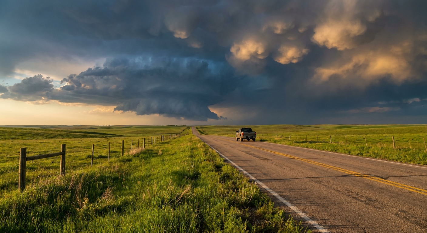
Get this, y'all. It is late April and we are right in the thick of spring festival season. The average high in Dallas right now is a perfect 77 degrees. Over in Jackson, Mississippi, it is a beautiful 76 degrees. People are gearing up for FuelFest in Fort Worth and the Santé South Wine and Food Festival in Jackson this Saturday. You buy your tickets, you text your friends, and you expect a sunny weekend. But the atmosphere has other plans.
We are tracking a classic, multi-day severe weather setup. A compact upper-level wave is moving out of the Southwest. When that system ejects into the Plains, it is going to pull up a ton of Gulf moisture. That means we have a volatile weekend ahead for a huge chunk of the country.
Friday's Threat in the Deep South
Let's start with Friday. The severe threat shifts into the Lower Mississippi Valley. The Storm Prediction Center has a Slight Risk covering Shreveport, Little Rock, and Jackson. If you are out at the festival grounds in Mississippi setting up vendor tents, you need to keep your head on a swivel. We are tracking a decaying morning storm complex that will likely redevelop in the afternoon. We are looking at storms capable of producing damaging winds and large hail. A brief tornado is also possible. Secure those canopies and know where the solid buildings are.
Saturday's Main Event
Saturday is when the severe engine really starts humming. We have an Enhanced Risk for severe thunderstorms from south-central Kansas down into central and eastern Oklahoma, plus northwest Arkansas. The main hazards here are very large hail, damaging winds, and a couple of tornadoes.
Further south in Texas, Dallas and Fort Worth are sitting in a Marginal Risk. If you are heading to FuelFest at the Texas Motor Speedway, you might see some isolated severe storms pop up. Keep an eye on the sky between the drift exhibitions. The wind alone will be enough to cause issues for anything not tied down.
Sunday and Monday Escalation
The hits just keep coming as we close out the weekend. Sunday brings a 30 percent risk area for severe storms right over Oklahoma City, Tulsa, and Wichita. That is a significant highlight for a Day 4 forecast. By Monday, that 30 percent risk shifts east toward St. Louis and Springfield, Missouri. This is a dynamic, fast-moving system that will disrupt travel and outdoor plans for millions of people.
Critical Fire Danger Out West
I also need to mention what is happening on the back side of this system.
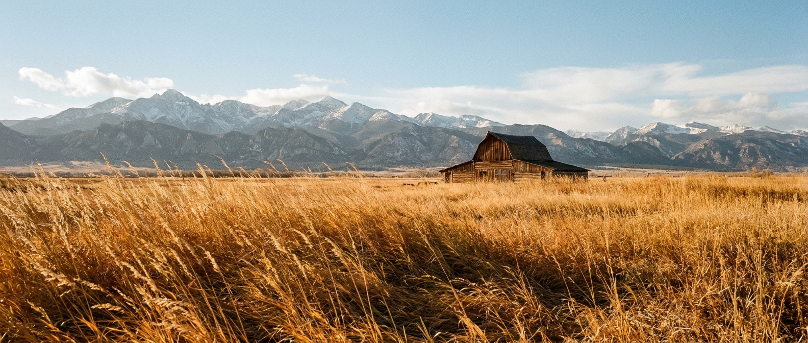
Downslope winds are going to howl off the Rockies on Friday. The Denver metro area and the Colorado Front Range are under a Critical Fire Weather risk. We are talking about single-digit humidity and wind gusts up to 25 mph. It only takes one spark in those conditions to start a rapidly spreading wildfire.
You do not have to cancel your weekend plans just yet. But you absolutely need a backup plan. Know where the brick-and-mortar buildings are if you are at an outdoor event. Have a way to get warnings that will wake you up at night. We will get through this active stretch together.