Blog Article
Coastal Storm Hits MD Festivals as Nolo Threatens Hawaii
A coastal storm brings rain and wind to All Things Go and Oceans Calling this weekend, while Tropical Storm Nolo threatens catastrophic flooding in Hawaii.
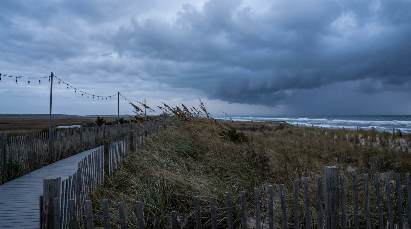
Festival Season Meets a Coastal Storm, and Hawaii's Got a Real Problem Brewing
Alright folks. If you've got tickets to All Things Go in Columbia, Maryland, or you're headed to Ocean City for Oceans Calling this weekend, let's talk. Both festivals kick off Friday, and both are about to share a stage with a coastal storm that's spinning up off the Atlantic.
What's Actually Happening Off the Coast
There's a low pressure system developing along the East Coast right now, and it's the kind that meteorologists watch closely because it can sit and spin instead of blowing through. NWS offices from Boston down to Washington DC have all flagged this one. Baltimore-Washington's forecast office is calling for persistent onshore winds, heavy rain, and tidal flooding concerns tied to Chesapeake Bay effects. That's not great news if your festival weekend involves standing in a field or on a beach.
Here's the mechanism, plain and simple. When a coastal low deepens, it pulls air off the ocean and shoves it onshore for a long stretch of time. That's called onshore flow, and it does two things. First, it piles up moisture and rain over the same areas for hours, sometimes a full day or two. Second, combined with high astronomical tides, it pushes ocean water higher than normal along the coast. WPC has a Slight Risk of excessive rainfall posted for the Northeast on Saturday specifically because of this system, and gusts above 45 mph are expected along exposed coastal spots like Cape Cod, Long Island, and the Jersey Shore.
For Oceans Calling specifically, that's a beachfront festival taking wind and surf straight from the source. For All Things Go in Columbia, you're inland enough that the wind won't be as brutal, but the rain risk is real. Bring the boots, not the white sneakers.
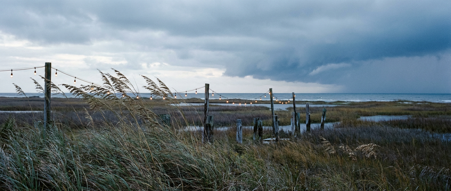
Meanwhile, Hawaii's Situation Is a Lot More Serious
While the Mid-Atlantic deals with a rain-soaked festival weekend, Hawaii is staring down something with actual teeth. Tropical Storm Nolo sits a few hundred miles south of the Big Island right now with 70 mph winds, and the National Hurricane Center has it on a track to strengthen, possibly into a major hurricane, as it approaches this weekend.
A Tropical Storm Warning is already up for Hawaii County. The Honolulu forecast office is calling this one out specifically because of the terrain problem. The Big Island's volcanic slopes can wring staggering amounts of rain out of a tropical system when moist air gets forced upward. We're talking about potential rainfall totals in the 15 to 35 inch range on parts of the island, with 5 to 20 inches possible on Maui. That's not a rounding error, that's catastrophic flash flooding and mudslide territory.
This isn't Nolo's first close call with land either. Remember Hurricane Lowell back in early September? That system passed near Kauai as a Category 2 to 3 hurricane, dropped wind gusts to 85 mph, and knocked out power to more than 33,000 customers. Hawaii's had a rough stretch of tropical activity this year, and Nolo is shaping up to be the next chapter.

And Yeah, the Plains Are Still at It
Out in the southern High Plains, a marginal severe risk lingers again today across the Texas Panhandle, western Oklahoma, and western Kansas. That's the same general corridor that's been active most of September, remember Chanute, Kansas, and that 84 mph gust back on the 13th? This round is nowhere near that intensity, just isolated hail and gusty wind if a storm or two manages to get going late this afternoon. Southeast New Mexico is the bigger flooding worry, sitting under a Moderate Risk of excessive rainfall today thanks to saturated ground and slow-moving storms.
The Takeaway
Two very different stories, same weekend. If you're headed to a festival in Maryland, pack a poncho and expect some soggy, windy hours, but you'll survive it and probably get a good story out of it. If you've got family or friends on the Big Island, this is the kind of storm where you check in, watch the Hurricane Watch updates closely, and take any evacuation guidance seriously. Rain totals measured in feet, not inches, aren't a joke.