Blog Article
Baseball, Cold Fronts, and Auroras: Tonight's Weather Story
A cold front threatens damaging wind near tonight's Nats-Phillies and Cardinals-Yankees games, while a G1 geomagnetic storm could light up northern skies.
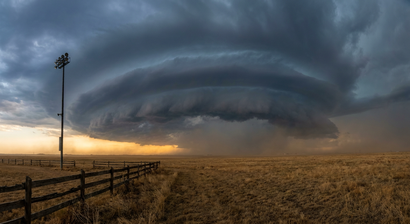
First Pitch, First Gust: What Tonight's Ballgames Have in Common with the Northern Lights
Alright folks, it's a big night for baseball. Nationals at Phillies in Philly, Cardinals at Yankees in the Bronx, Dodgers at Cubs in Chicago. Stadiums are gonna be full, hot dogs are gonna be flying, and if you're in the Northeast, the weather's got its own lineup card out too.
When the First Pitch Meets the Front Line
Here's the thing. There's a cold front sliding through the Northeast corridor right now, and it's not just cooling things off. The Storm Prediction Center has a Marginal Risk for severe storms stretched from New York City down through Philadelphia and Boston, covering almost 34 million people. That's not a big scary category, but it's not nothing either.
The SPC's own update this afternoon put it plainly. They trimmed back the risk area behind an eastward moving band of frontal convection, but that same band of storms is still capable of kicking out damaging wind gusts as it rolls through tonight. Translation for the guy holding a hot dog in Section 214: if a cell rides that front through your ballpark's neighborhood, you could see a quick burst of wind and maybe a rumble of thunder before it clears out. Isolated hail up to quarter size is possible too, but the tornado threat sits at a low 2 percent, so this is a wind and hail story, not a tornado story.
Game times line up almost perfectly with the front's arrival window. Nats-Phillies first pitch is right around 6:40 PM Eastern, Cardinals-Yankees around 7:05. Both fall inside the window the SPC flagged for this activity. If you've got tickets, keep an eye on the sky between innings.
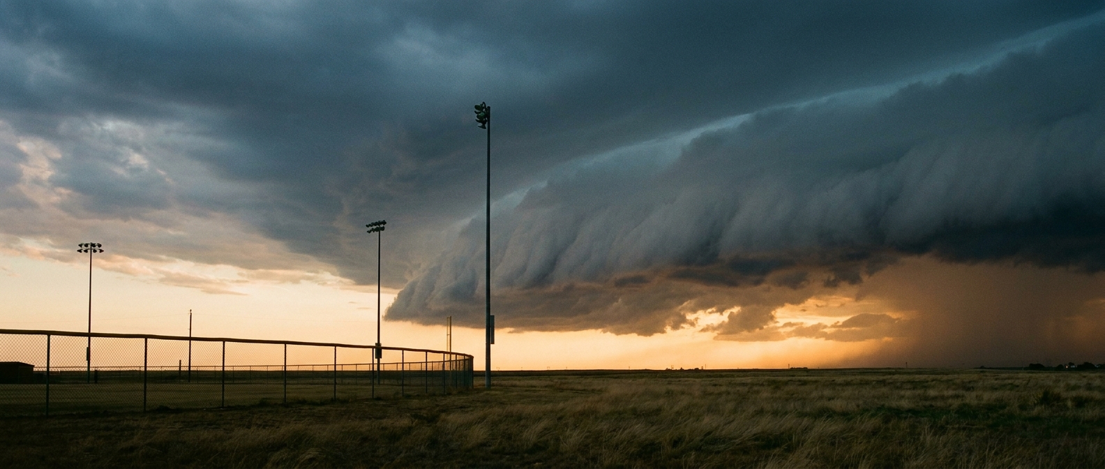
The Rain Delay Might Come After the Final Out
Even after the front pushes through, the atmosphere isn't done. The Weather Prediction Center has a Slight Risk of excessive rainfall in place from New Jersey up through Massachusetts overnight into Tuesday morning. That's the category one step above the baseline Marginal Risk, meaning training showers or a second round of storms could squeeze out enough rain to cause localized flooding, especially in urban low spots that don't drain fast.
Given what we just watched happen over the past few days, that's worth paying attention to. Surry County, North Carolina got a Flash Flood Emergency and water rescues out of similar setups on Saturday, and Pennsylvania, Virginia, and New York all dealt with flooded roads and rescues Sunday into Monday. Tonight's Northeast rain threat is a smaller scale version of that same soil-saturated, ground-can't-take-any-more pattern. If you're driving home from the ballpark late tonight, give yourself extra time and don't drive into standing water.
Look Up After the Game, Maybe
Now for the fun part. NOAA's Space Weather Prediction Center says a G1, that's Minor category, geomagnetic storm is expected today as effects from a coronal mass ejection that left the sun back on July 30th continue to wash over Earth. Kp values peaked around 5 today, and the geomagnetic field actually reached G2, or Moderate, levels overnight as that CME first arrived.
What that means in plain English: this is a real space weather event, but a modest one. G1 storms typically bring the aurora down into the far northern US, places like International Falls, MN or the Upper Peninsula of Michigan, not usually Philadelphia or the Bronx. If you happen to be somewhere with a clear northern horizon and dark skies tonight, upstate New York or northern New England included, it's worth a glance after the front clears out behind those ballgames. No promises, but the ingredients are technically there.
Sturgis Bound? Watch the Plains
If you're one of the folks already rolling toward South Dakota for the Sturgis Motorcycle Rally starting August 7th, keep an eye on the eastern Dakotas today and tomorrow. The SPC's Slight Risk area for severe storms today covers Fargo and the corridor into northern Minnesota, with a hatched area suggesting gusts could reach 75 miles per hour in the strongest cells. That's not where the rally sits, but it's along a lot of the interstate routes riders use to get there. By later this week, the forecast discussion shows high pressure building back into the northern Plains, so travel conditions should improve as the rally gets underway.
The Takeaway
Tonight's a two-for-one kind of night if you're in the Northeast. Watch the front line move through around first pitch, keep an umbrella handy for the ride home, and if the sky clears out up north, it might just put on a show of its own after the stadium lights go dark.