Blog Article
Flash Flood Threat Targets Texas & Louisiana Gulf Coast
A high-end flash flood threat targets Houston and Lake Charles today, while severe storms and large hail threaten the Texas Panhandle tonight.
Flash Flood Threat Targets the Gulf Coast Just in Time for the Holiday Weekend
Morning, y'all. We are staring down the barrel of a busy Memorial Day weekend. Folks are hitting the road for the Indy 500 and the Coca-Cola 600, and airports are packed to the brim. But if your travels take you anywhere near the Gulf Coast or the Southern Plains today and tomorrow, we have some serious weather to talk about.
As we discussed yesterday, the atmosphere is incredibly active right now. While the northern tier of the country is dealing with an unseasonable late-season chill, the southern half of the US is locked into a warm, saturated pattern.
High-End Flash Flood Threat for Texas and Louisiana
The biggest headache today is setting up over Southeast Texas and Western Louisiana. We are watching a significant flash flood threat for places like Houston, Beaumont, and Lake Charles.
The Weather Prediction Center has a Slight Risk for excessive rainfall posted for this area. Here is the thing. The ground is already soaked from yesterday's storms. Now we have a slow-moving system pulling in a firehose of rich Gulf moisture. Storms are going to line up and track over the exact same areas, dropping inches of rain in a hurry. Meteorologists call this "training," because the storms follow each other like cars on a railroad track.
Average high temperatures for Houston in late May sit around 86 degrees. We are right on target with those numbers, but that heat is combining with extreme humidity to create an atmosphere loaded with water. If you are driving the I-10 corridor today or flying out of George Bush Intercontinental, you need to pack some patience. Do not try to drive through water covering the road. It only takes a few inches to float a vehicle.
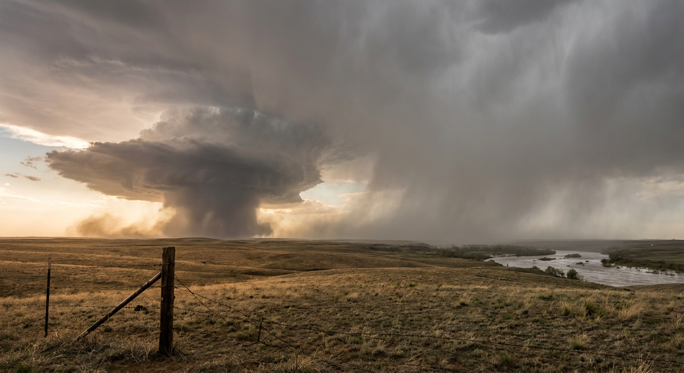
Nighttime Severe Threat in the High Plains
Further west, we are still tracking a severe setup in the High Plains. The Storm Prediction Center has a Level 2 Slight Risk from Lubbock up through Amarillo and into western Oklahoma.
We are going to see discrete supercells fire off late this afternoon along a dryline boundary. The main threats early on will be large hail, potentially up to two inches or hen-egg size, and damaging wind gusts.
As the sun goes down, those individual storms will merge into a big nighttime cluster called a Mesoscale Convective System, or MCS.
These nighttime storm clusters are notorious in the Plains. They feed off a low-level jet stream that keeps them going long after dark. That line will roll east across the Texas and Oklahoma Panhandles tonight, bringing a widespread threat for 60 mph wind gusts.
Weekend Travel Impacts
If you are heading out to outdoor events this weekend, keep a close eye on the sky. The Houston Astros are playing up in Chicago today, so Minute Maid Park is quiet, but fans flying out of Texas will likely face delays. For the racing fans heading to North Carolina for the Coca-Cola 600 or Indiana for the Indy 500, the weather looks much more cooperative at the tracks by Sunday. Getting there through the Midwest and Ohio Valley today, however, will be wet and slow.
Bottom Line:
- If you live near the Gulf Coast, respect the water. Have an alternate route planned if your normal commute floods.
- If you are in the High Plains, make sure your phone is charged and your weather radio is turned on before you go to sleep tonight. Nighttime wind and hail can catch you off guard.
- Give yourself extra time at the airports today, especially if you are connecting through Dallas, Houston, or Atlanta.